Topline
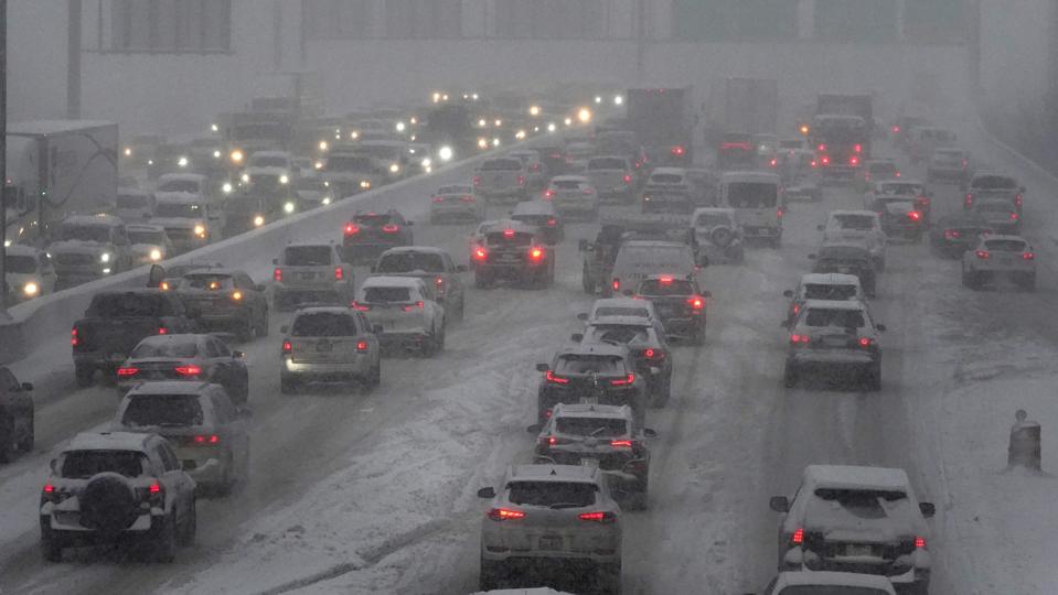
A massive winter storm stretching across the U.S. is leading to travel headaches and beginning to cause widespread power outages as it dumps snow and ice along a path from New Mexico to New England, though impacts in some areas will likely get worse before they get better—here’s what to expect.

Key Facts
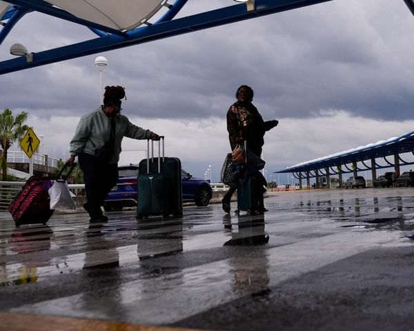
More than 4,600 flights have been canceled Thursday, according to FlightAware, including 84% of flights scheduled to depart from Dallas Love Field, 79% of flights leaving from John Glenn Columbus International Airport in Ohio and 79% of flights originating at Austin-Bergstrom International Airport in Austin, Texas.
Power outages topped 185,000 across the states of Tennessee, Arkansas and Texas, according to PowerOutage.US, as those areas deal with the early brunt of an ice storm that's expected to cause “heavy ice accumulation” throughout the day on a path from Texas into the Ohio River Valley, according to the National Weather Service.
Numerous school districts have also chosen to cancel classes due to the storm, leaving many schools in major metro areas like Dallas, St. Louis and Indianapolis closed for at least Thursday, though some have called off the rest of the week.
The most severe impacts along the storm’s massive, roughly 2,000-mile path will likely be felt from central Arkansas into western Kentucky, where the National Weather Service predicts freezing rain will lead to more than half an inch of ice accumulation, an amount likely to cause widespread tree damage and power outages.
Travel could be dangerous for days in areas with widespread ice accumulation, as temperatures will struggle to get above freezing until late in the weekend.
Snow totals are expected to top 6 inches along a path from eastern Oklahoma northeastward into New England, where snowfall could top a foot.
Crucial Quote
“The national weather picture today is . . . complicated," the National Weather Service tweeted Thursday morning, along with a map of the enormous area affected by the storm.
Key Background
Impacts from the storm began in the Southwest Tuesday evening as a slow-moving low pressure system started interacting with “frigid arctic air” that moved into place behind a cold front. This system is just the latest in a series of winter storms that have pummeled the U.S. since the start of the year. Cold air that dipped unusually far to the south last month brought a winter storm threat all the way down to the Gulf Coast, while a nor’easter at the end of January led to historic levels of snowfall in parts of the Northeast, like Boston. On Saturday, the city tied its single-day record for snowfall, with 23.6 inches falling there. The cold conditions across much of the U.S. this year come in stark contrast with the weather early in the winter—December 2021 was the warmest December recorded in U.S. history.
Surprising Fact
Forecasters at the Climate Prediction Center were saying last month the eastern half of the country would have a warm February, but that prediction’s been scrapped. Much of the East and South are now expected to have either normal or below-average temperatures for at least the next two weeks.
Further Reading
Massive U.S. Winter Storm Prompts Alerts Over 2,000-Mile Stretch (Forbes)
Florida And South Texas Bracing For Rare Winter Storm—These Impacts Could Hit The South (Forbes)
Boston ties its single-day snowfall record with Blizzard of ’22 (Boston.com)


