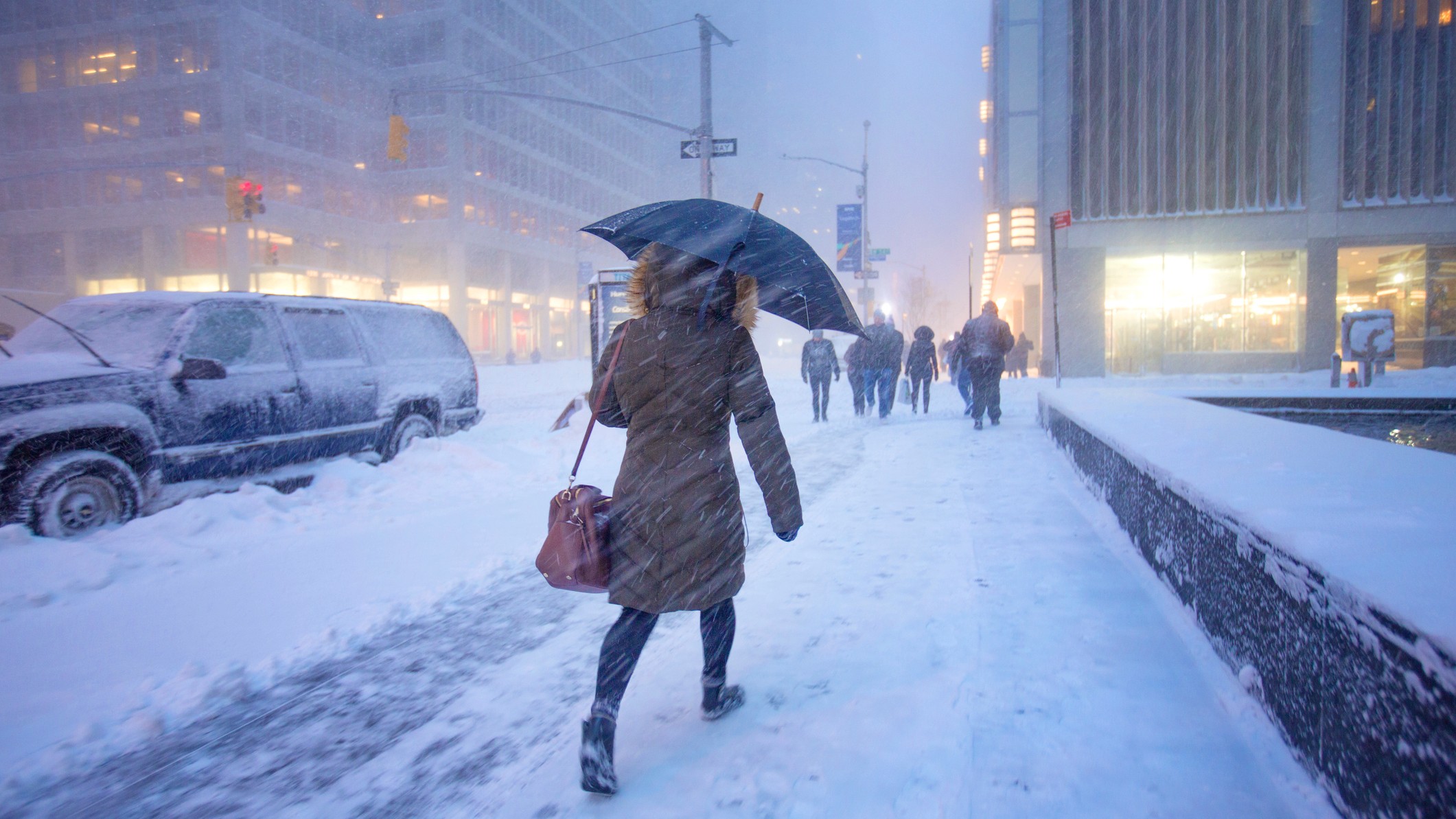
A rare weather phenomenon rumbled across several eastern and central U.S. states this weekend as Arctic air continues to bring heavy snow and freezing temperatures to millions of Americans.
Thundersnow, also known as a winter thunderstorm, happens when a snowstorm is accompanied by thunder and lightning. As of Monday (Jan. 6) morning, the phenomenon has been reported across much of the southern Midwest as well as in Maryland, Virginia and Washington, D.C.
The National Weather Service (NWS) in St. Louis, Missouri, shared satellite imagery taken from NASA's GOES-East in space showing lightning flashes across Arkansas, Kansas, Oklahoma and Missouri on Sunday (Jan. 5).
"We are getting thundersnow/thundersleet," NWS representatives wrote in a post on X, formerly Twitter. "This just underscores that snow/sleet rates are pretty heavy - avoid travel if at all possible!"
The green splotches on this satellite imagery are lightning flashes as seen from GOES-East in space! That means...we are getting thundersnow/thundersleet! This just underscores that snow/sleet rates are pretty heavy - avoid travel if at all possible! pic.twitter.com/8I9sSVfXVoJanuary 5, 2025
Meanwhile, footage of Kansas meteorologist Jim Cantore reacting to the rare phenomenon has received thousands of views on the site.
Thundersnow in KC. We got it baby! Great day at the office! Live w/ @JimCantore on @weatherchannel pic.twitter.com/m1zJxwQdIlJanuary 5, 2025
What causes thundersnow?
Thunderstorms occur when warm, moist air rises and condenses in cooler, dryer air above it, forming towering cumulus clouds. Inside these clouds is a combination of light ice crystals, which float upward, and soft hail known as graupel, which is denser and falls downward. This causes both particles to bang into each other, causing electrons to be transferred from the ice crystals to the graupel. The end result is a cumulus cloud with positively charged ice crystals at the top and negatively charged graupel at the bottom, according to the National Oceanic and Atmospheric Administration (NOAA).
This builds negative charge at the base of the cloud, repelling electrons in the Earth beneath it. The charge difference between the cloud and the ground builds up until eventually the potential energy is discharged as a bolt of lightning.
The energy from this strike heats up the surrounding air, causing it to explode outward and creating the rumbling sound we know as thunder.
Thundersnow occurs when this weather system occurs in the midst of a snowstorm.
Why is thundersnow so rare?
The conditions required to create thunderstorms rarely occur during the winter months.
"In winter (especially when the weather is cold enough for snow to fall), there is much less energy in the atmosphere and the heating of the surface is much reduced," Jon Shonk, a Senior Scientist at the UK's Met Office and researcher at the University of Reading, told Live Science in an email. "Thunderstorms form more readily in summer when the atmosphere is warmer and can hold more energy and moisture."
In the rare cases when thundersnow does occur, it tends to be around the Great Lakes. "In the United States, thundersnow occurs more often in the central part of the country, Intermountain West and across the Great Lakes region," Jesse Ferrell, AccuWeather senior weather editor and meteorologist, told AccuWeather "Intense lake-effect snow bands, which have pockets of rapidly rising air due to the sharp contrast between cold air aloft and the warm lake water, often produce thundersnow."
However, FOX Weather Meteorologist Kendall Smith — who saw the phenomenon in Kansas City on Sunday — said that it was very unusual to see thundersnow so far south, describing the event as "historical."
Related: Polar vortex could bring deadly winter storms and coldest weather in more than a decade to US
The cold weather that the U.S. is currently experiencing has been driven by large-scale atmospheric pressure changes and a shift in the band of strong winds that normally keep cold air in the Arctic, known as the polar vortex. This shift causes freezing air to dip much further south than normal, resulting in the frigid temperatures that the U.S. is currently experiencing. And when this rush of freezing air bumps up against warmer, tropical air from the south, it can create the appropriate conditions for thundersnow.
"A significant surge of moisture lifting from the Gulf of Mexico got ingested into the developing low pressure, and then lifted vertically to induce elevated instability," Josh Weiss, a forecaster at NOAA's Weather Prediction Center, told Live Science in an email. "Where atmospheric ascent was most pronounced (usually on the north/northwest side of these intense cyclones), this resulted in an intense band of snow accompanied by lightning and thunder: thundersnow!"
Is thundersnow dangerous?
"Like any storm that produces lightning, thundersnow can be dangerous," Weiss said. "However, lightning and thunder that accompanies a snowstorm is usually less frequent and less intense than in summer-time thunderstorms."
Unlike thunderstorms in the summer, in which thunder can be heard from miles away, snow tends to muffle its sound, limiting the distance at which it can be heard. Thus, people may be less cautious of an impending storm and more at risk of unexpected lightning strikes.
Shonk added that, while the strike rate of lightning during a winter thunderstorm is much lower than during summer storms, they can also be more damaging.
However, both Weiss and Shonk said that the most significant risk of thundersnow is the accompanying heavy snowfall. "Thundersnow usually occurs only during the most intense snowfall," Weiss said, which can lead to poor visibility and dangerous travel conditions.
As of Monday (Jan. 6), winter storm warnings were still in place across the Central Plains through to the Mid-Atlantic, with disruptive storm conditions expected to last until Monday evening, the NWS said. A state of emergency has been declared in Arkansas, Kansas, New Jersey, Missouri, Kentucky, Virginia and West Virginia, and 18 inches of snow fell in parts of Kansas overnight. NWS also predict up to 12 inches (30 centimeters) of snow by Monday evening across the Mid-Atlantic, including Washington, D.C.


