Support truly
independent journalism
Watch a live view from Siesta Key, Florida, as Hurricane Debby made landfall.
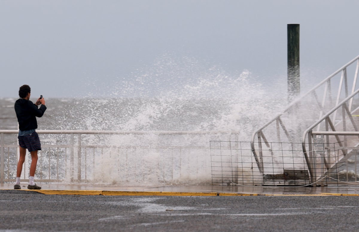
Debby was expected to slam into the Big Bend region of Florida’s Gulf Coast by midday on Monday 5 August before slowly crossing the state, causing potentially dangerous storm surges and catastrophic flooding, the National Hurricane Center (NHC) said.
By 11pm EDT (03:00 GMT) on Sunday, the hurricane had sustained winds of 75 mph (120 kph), growing from a slow moving tropical storm that gained strength from warm Gulf waters.
It will likely just get stronger.
The hurricane center forecast life-threatening conditions, including storm surges up to 10ft (3m) in some areas.
As it slowly moved north, the storm could bring “potentially historic rainfall” of between 10 and 20 inches (25 and 50 cm) and catastrophic flooding to Georgia and South Carolina.
The storm bears some of the hallmarks of Hurricane Harvey, which hit Corpus Christi, Texas, in August 2017.
While downgraded into a tropical storm as it moved inland, it lingered over the state, dumping about 50 inches of rain on Houston.


