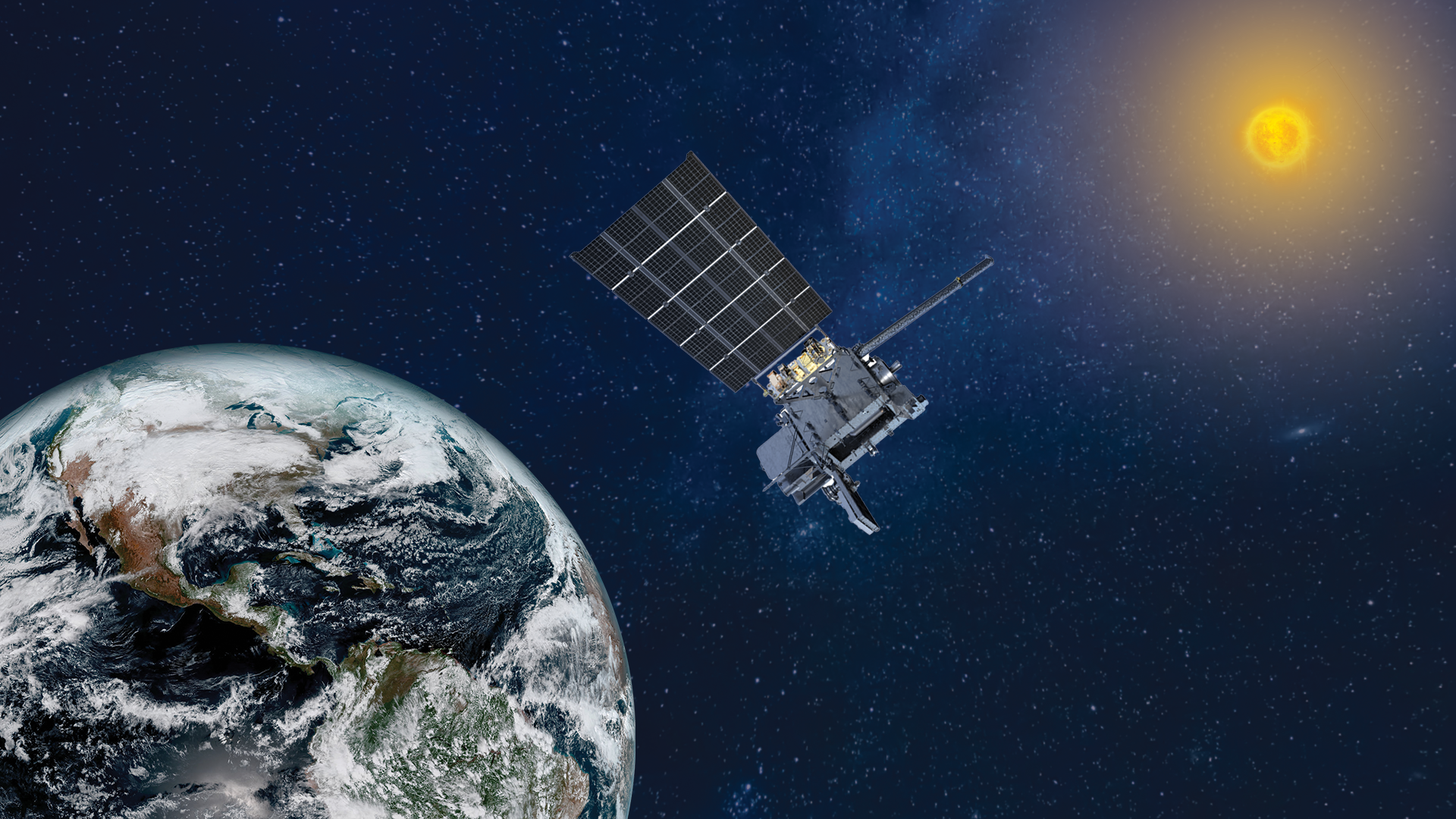
The final satellite in NOAA's GOES-R weather satellite series has a new place in orbit … and a new name.
The GOES-19 weather satellite, which launched into orbit in June 2024, has officially taken the place of its predecessor GOES-16 to watch over the Western Hemisphere from its perch 22,236 miles (35,785 kilometers) above us. To mark the milestone, the satellite has the new name of GOES East to serve as the dominant geostationary satellite in the fleet, NOAA officials said in a statement.
"With GOES-19 now in operation, NOAA has delivered the full fleet of GOES-R satellites to orbit, providing the most sophisticated technology ever flown in space to help forecast weather on Earth," said Stephen Volz, assistant administrator for NOAA's Satellite and Information Service, in the statement. "GOES-19 supports NOAA's mission to provide secure and timely access to global environmental data and information to promote and protect the nation's security, environment, economy and quality of life."
As GOES East, the satellite will be responsible for keeping a watchful eye on tropical development in the Atlantic Ocean, and monitor weather such as severe storms, wildfires, and atmospheric rivers. Just like its siblings, GOES-19 is equipped with technology to produce high-resolution imagery, take measurements of the atmosphere, and track the location and intensity of lightning in real-time.
If that's not exciting enough for scientists, this satellite also hosts NOAA's first compact coronagraph instrument (CCOR-1), monitoring the sun's activity.
"CCOR-1 is a game-changer for ensuring our nation is resilient to solar storms, monitoring massive eruptions of energy from the sun in real time," Clinton Wallace, director of NOAA’s Space Weather Prediction Center, said in the statement. "With dramatically improved resolution and faster detection, it helps us better predict dangerous space weather that can impact satellites, GPS, astronaut safety, aviation and power grids, ensuring we can protect critical technology and infrastructure like never before."