The Grand Canyon under threat from uranium mining – in pictures
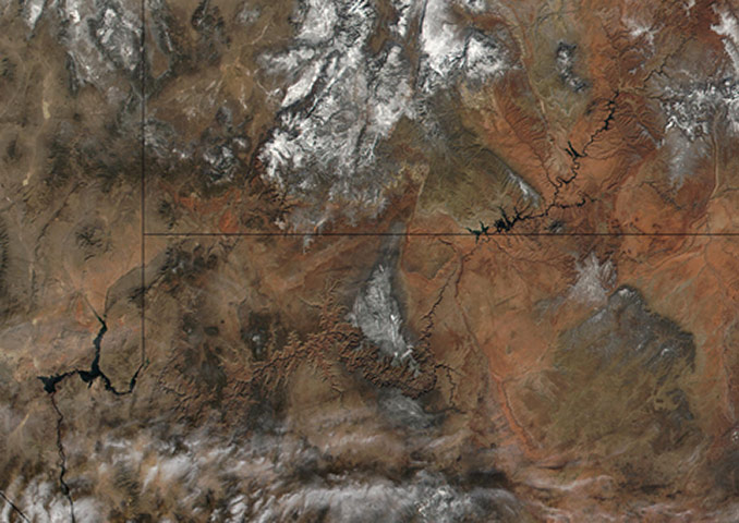
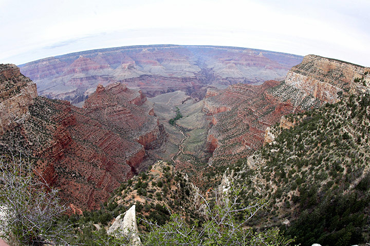
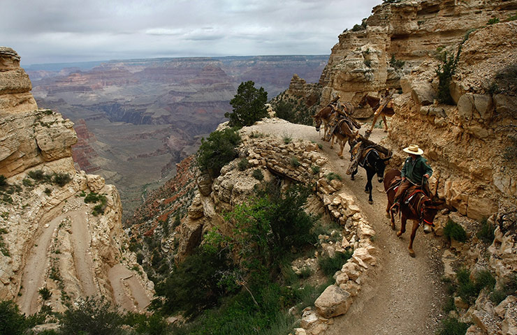
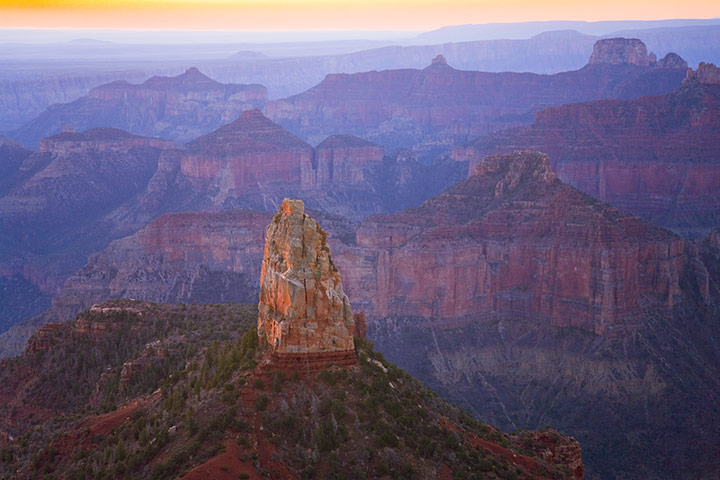
The Grand Canyon runs across the middle of this image between Lake Mead in the west, which is formed by the Hoover Dam, and the Glen Canyon in the east. You can also see the state lines from (left) Nevada, Utah, Arizona, and California in the very bottom leftPhotograph: NASAThe Grand Canyon was created by the Colorado river cutting a channel over millions of years. It is about 277 miles long and ranges in width from 0.25 to 15 miles, reaching a depth of more than a milePhotograph: Gabriel Bouys/AFPA million acres of land in the canyon was withdrawn from exploration in 2009 to allow time for an environmental assessmentPhotograph: John Moore/Getty Images
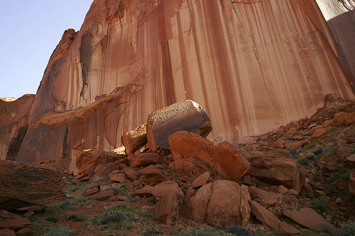
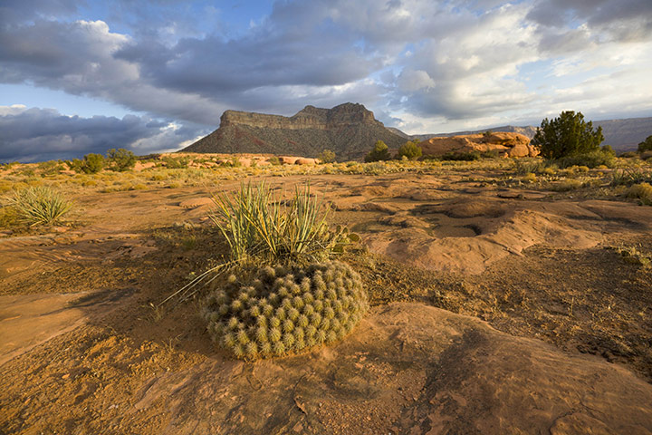
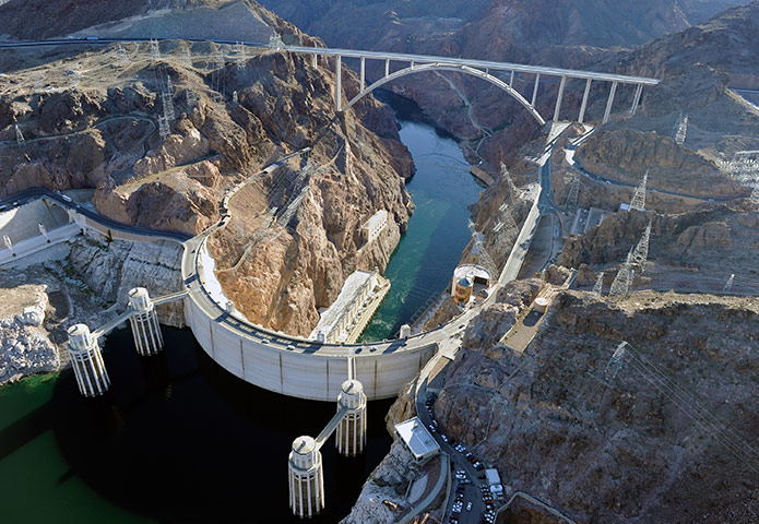
The Llewellyn Gulch canyon near Page, Arizona. The Grand Canyon contains some of the highest-grade uranium deposits in the USPhotograph: David McNew/Getty ImagesSunrise at Bright Angel Point – among such buttes and outcrops the Californian condor soarsPhotograph: Momatiuk - Eastcott/CorbisA sandstone plateau in the Grand Canyon. More than 2,000 claims have been submitted to prospect for the canyon's uraniumPhotograph: Momatiuk - Eastcott/CorbisMan has already made its mark on the Grand Canyon – this is the Hoover Dam bypass project including the Mike O'Callaghan-Pat Tillman Memorial Bridge, which sits 890 feet above the Colorado river, about a quarter of a mile downstream from the Hoover Dam. The bypass project to relieve vehicle traffic on the dam opened in October 2010Photograph: Ethan Miller/Getty Images
Sign up to read this article
Read news from 100’s of titles, curated specifically for you.