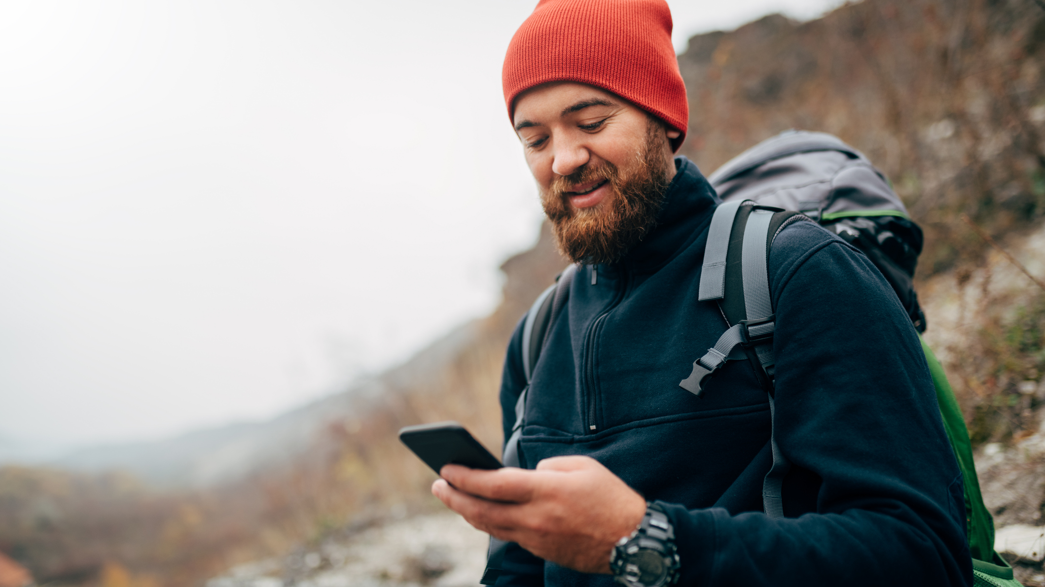
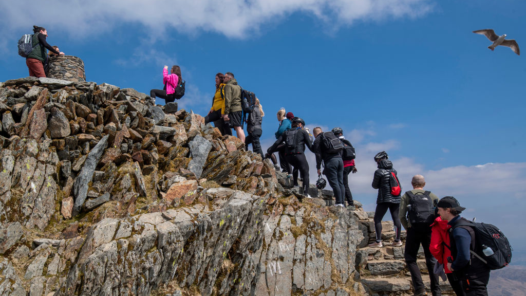
Social media and unreliable map apps have been blamed for a rapid rise in the number of mountain rescue call-outs in Britain’s most popular hiking areas.
Last year, mountain rescue units were called into action every day for the first time in England and Wales, while Scottish mountain rescue services recorded a thousand call-outs - another first.
The increase is particularly stark among young people. Research conducted by Ordnance Survey and reported by the Guardian reveals that the number of incidents involving trekkers aged between 18 and 24 has almost doubled in the past five years.
Accident hotspots included the Lake District and Cairngorms national parks, home to Scafell Pike and Yr Wyddfa (Mount Snowdon) - the highest peaks in England and Wales.
Data from Scottish Mountain Rescue revealed that 740 people and 17 animals were rescued by 29 separate mountain rescue teams in Scotland over the course of 1,000 call-outs in 2024.
Mike Park, Chief Executive of Mountain Rescue England and Wales, was unable to give a “definitive reason” for the spike, but suggested that some of the blame fell on social media and inaccurate navigation apps.
“We know from incident reports that more and more people are tempted into risky locations by Instagram posts,” he told the Guardian.
“Add to that a tendency to follow popular routes online without knowing the hazards and context, and it’s not surprising that those likely to be relying most on their phones are the ones getting into difficulties.”
The increase in incidents coincides with a general rise in the popularity of hiking. Surveys conducted by Sport England report a 40% increase in the number of hill and mountain walkers in the country between 2016 and 2023.
Alongside post-pandemic motivation, content posted to social media platforms like Instagram and TikTok is often credited with aiding the boom, and blamed for overcrowding. Without proper safety guidance, authorities fear that hikers may be heading into the mountains unprepared and unaware of the dangers.
Navigation apps that aren’t ‘suitable’ for the mountains also take a portion of the blame. Standard map apps are often without crucial topographic and safety information available in the best backcountry navigation apps like AllTrails and the OS Maps app.
Ordnance Survey managing director for leisure, Nick Giles, encourages trekkers to prepare appropriately for any adventure in the wilderness. He told the Guardian that anyone heading for the hills should have both the OS Maps app and a paper map to ensure a “wonderful adventure without getting stranded or lost.”
- The best first aid kits: be prepared for accidents and emergencies
- The best emergency blankets, bags and shelters: lightweight lifesaving gear