Much colder weather is set to hit the UK next week, bring with it sleet and snow.
Frosts, plunging temperatures and snow is likely to arrive from Saturday as a cold front pushes southwards and an Arctic air mass becomes established.
Met Office forecasters said parts of the UK are set for “a messy mixture of rain, sleet and snow”.
The Met Office said it was too early to tell where the wintry weather might hit, with computer models showing a number of different scenarios, but said the whole of the UK would turn cold.
Tom Morgan, a meteorologist at the Met Office, said: “The really cold air is likely to arrive next week and there will be some snow in parts of the UK.
“There’ll be a messy mixture of rain, sleet and snow.
“And also quite windy conditions, probably on Monday, in parts of the UK, but all areas will turn cold with wintry showers probably by Wednesday.
“If you’ve got travel plans next week, it’s worth making sure your car is all geared up for winter conditions.”
Colder weather is on the way but it's too early to be specific about which areas will see significant snow, as Aidan explains in this extract from the 10 Day Trend 🌨 pic.twitter.com/9Xofy9CGzv
— Met Office (@metoffice) November 14, 2024
Mr Morgan added: “It is fairly unusual in the south. It’s quite early in the month for a cold spell such as this.
“We often have rapid changes in the weather in the UK, the main reason for the big change next week is a sudden change in the orientation of the jet stream.
“At this point, anywhere in the UK has a chance of seeing snow and ice and frost by night, particularly from mid-week onwards.”

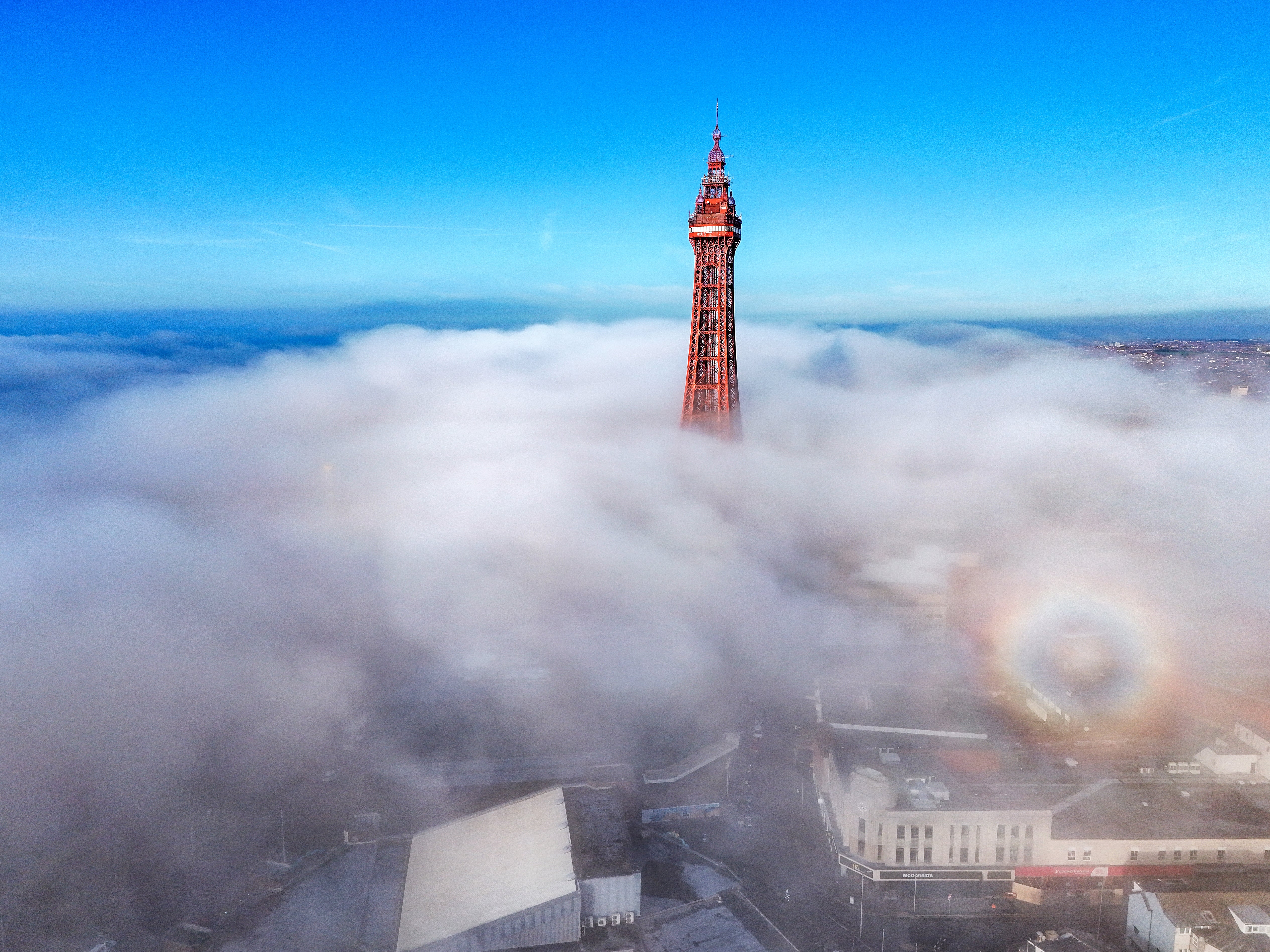
So far this November, temperatures in the UK have been above average in general, as parts of the North West were hit with thick fog on Thursday.
Mr Morgan said: “Usually at this time of year, fog is slow to clear because we have very short days and the sun’s at its weakest point.
“So there’s not much heating of the ground and it’s the heating that usually disperses the fog, so we’ve seen some areas not really improve.
“The main reason (for the fog) is high pressure, light winds, a temperature inversion and stagnation of the air allowing that fog to form overnight and not clear in the day.”


