Apple Maps has placed a reality distortion field around the home of Tim Cook after the CEO was granted a restraining order against a stalker.
The four-bedroom condo in Palo Alto, California, is now blurred in the map app’s Look Around feature, as well as the vehicles parked on the street outside.
The update, first spotted by Apple news site Cult of Mac, follows revelations about an alleged stalker who claimed to be Mr Cook’s wife.
Court documents filed in Santa Clara County described how a 45-year-old woman sent the tech billionaire pictures of guns, bullets and computers, and was caught trespassing on his property.
Apple described the woman’s behaviour as “erratic, threatening, and bizarre” in its application for the restraining order, which was granted last week.
Mr Cook’s house has also been digitally obscured in Google Maps, with both mapping services allowing people to request to hide their homes.
The Apple CEO’s house appears to be the only house in his neighbourhood that has been hidden in this way, consequently making it easier to actually find.
The obscuring of the address fits with a phenomenon known as the Streisand Effect, whereby attempts to hide or censor information has the opposite impact of unintentionally drawing attention to it.
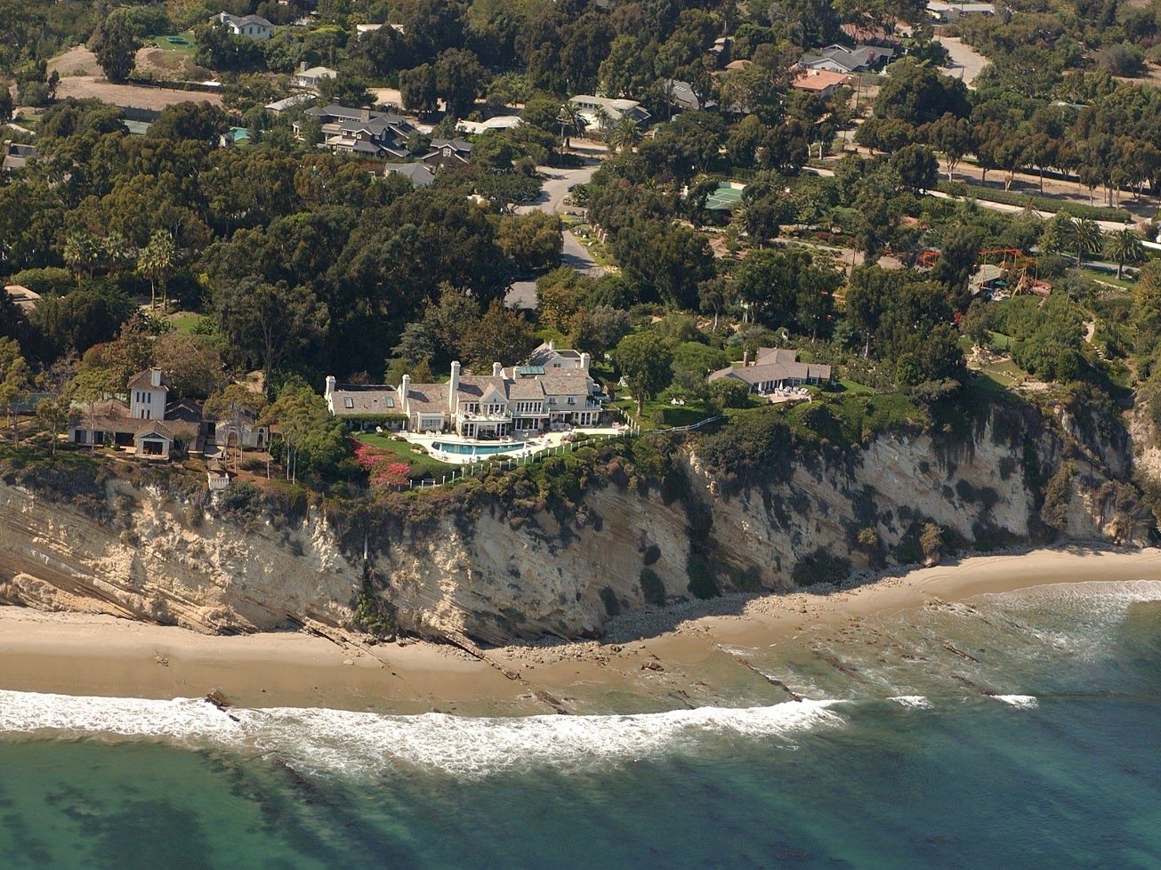
The term was coined in 2005 after the singer Barbra Streisand sued a photographer for violation of privacy when an aerial picture of her seaside property was included in a public collection of images documenting coastal erosion in California.

Before the lawsuit, the image of Ms Streisand’s home had only been downloaded six times, according to court documents, two of which were by the singer’s lawyers.
The case was eventually dismissed but the publicity it attracted saw more than 420,000 people visit the website in order to see the image of Ms Streisand’s home.
Mr Cook’s address only became publicly known following Apple’s request for a restraining order, with court filings including the full street name and number.


