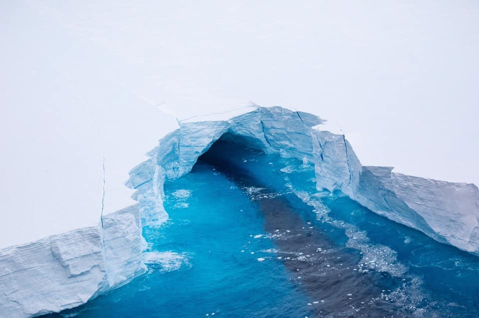
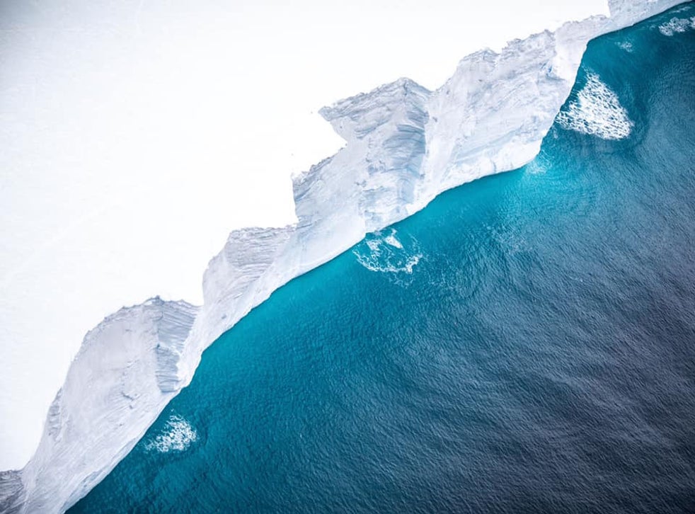
An RAF aircraft has captured pictures of the world's largest iceberg as it drifts towards the island of South Georgia.
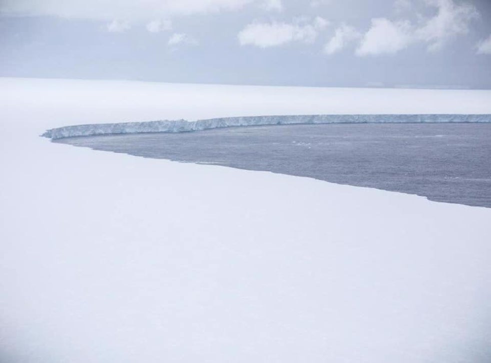
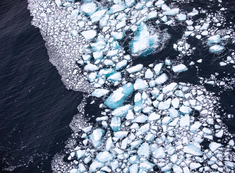
The A400M reconnaissance flight crew observed the iceberg's fraying condition, capturing pictures showing masses of debris that had broken from the main body and fissures extending deep below the surface.
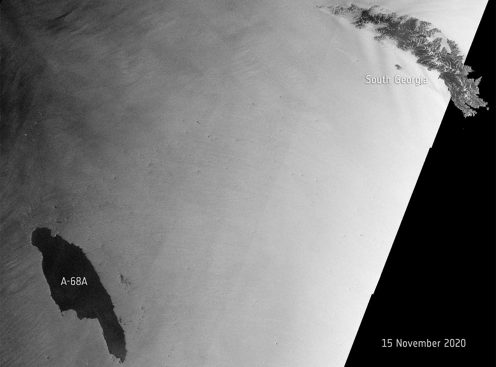
The iceberg, known as A68a, measures around 4,200-square-kilometres, roughly the size of Somerset, and has travelled some 1,050km in the three years since it broke from Antarctica's Larsen C ice shelf.
A68a has been drifting towards the British Overseas Territory of South Georgia and was around 200km from the island's shore when the A400M crew set out.
Scientists said there is a possibility the iceberg could become stuck in the shallow waters around South Georgia, posing a threat to the island's ecosystem.
If A68a were to run aground it would cause considerable problems for the island's seals and penguins as their access to food could be restricted, according to researchers based in the region.
“A close-in iceberg has massive implications for where land-based predators might be able to forage,” said Professor Geraint Tarling from the British Antarctic Survey.
“When you're talking about penguins and seals during the period that's really crucial to them, during pup and chick-rearing, the actual distance they have to travel to find food really matters. If they have to do a big detour, it means they're not going to get back to their young in time to prevent them starving to death in the interim.
“Ecosystems can and will bounce back of course, but there's a danger here that if this iceberg gets stuck, it could be there for 10 years,” Prof Tarling told the BBC.
“And that would make a very big difference, not just to the ecosystem of South Georgia but its economy as well.”
The A400m flight captured imagery and footage that will assist in ascertaining the severity of the threat to the local area.
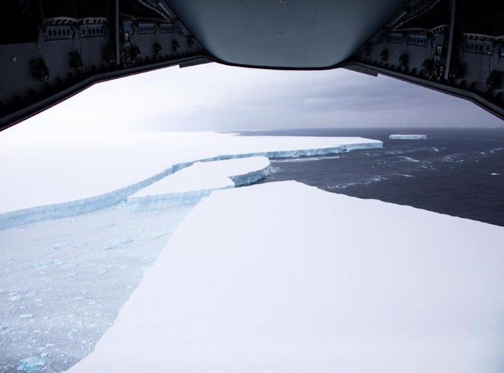
The collected data has been shared with the British Antarctic Survey and the government of South Georgia and the South Sandwich Islands.
“Guided by satellite tracking, the A400M can get under the weather and closer to the iceberg, enabling more detailed observations,” Squadron Leader Michael Wilkinson said in a Facebook post.
“I know I speak on behalf of all of the involved when I say this is certainly a unique and unforgettable task to be involved in.”


