The forecast from the top tornado specialists in the world was dire: A "high risk" of severe thunderstorms, including numerous strong tornadoes, striking parts of Oklahoma. In the end, however, the tornado outbreak on Monday mercifully underperformed expectations in some areas.
Why it matters: The fact that there were no high-end tornadoes in populated areas during this tornado outbreak seems miraculous, considering the rare combination of ingredients that were present across southwest and central Oklahoma on Monday and Monday night. The atmosphere was essentially a powder keg, with abundant wind shear, instability and moisture.
But something kept that from blowing up into discrete supercell thunderstorms, which are the much-feared, long-lived thunderstorms that have persistent areas of rotation. Why this occurred will be the subject of further study by the meteorological community.
The big picture:
- Instead, storms in Oklahoma congealed together in line segments and a broader "mesoscale convective system," or MCS, that dumped huge amounts of rain in a short period of time, causing flash flooding that continued into Tuesday.
- Supercells that did form in northeast Texas, southwest Oklahoma and Kansas produced more than 20 suspected tornadoes. But they tended to choke on cooler air lurking just to the west of a frontal boundary, preventing long-track, violent tornadoes from occurring.
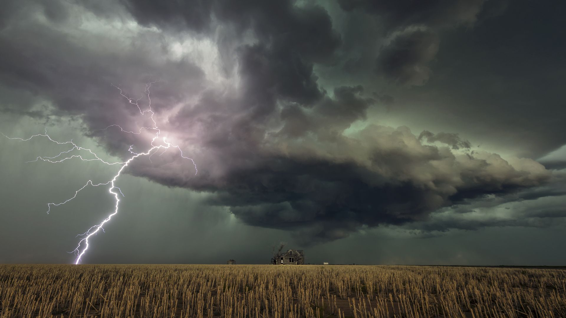
Massive MCS continues to bubble and cause trouble overnight with severe thunderstorms and torrential downpours training over the same locations -- major flooding ongoing pic.twitter.com/MsIUB18WJg
— Stu Ostro (@StuOstro) May 21, 2019
Between the lines: Monday's events illustrate how much forecasters, and their sophisticated computer models, still don't know about what causes thunderstorms to initiate, and what the dominant type of storm will be in a given outbreak.
- Short-range computer models and observations through early afternoon on Monday suggested an outbreak of discrete supercells would approach Oklahoma City from the southwest later in the day, but that (fortunately) failed to materialize.
- Some meteorologists on Twitter speculated that a sneaky layer of warming, sinking air developed at about 10,000 to 15,000 feet above the ground, stifling nascent thunderstorms and effectively keeping what's known as a "lid" or "cap" on the atmosphere. That lid was unexpectedly resilient, though further studies may turn up other factors that caused this outbreak to proceed the way it did.
What they're saying: Weather Channel meteorologist Jonathan Erdman offered this explanation via Twitter: "... Seems there was a warm nose of air around 700 mb that made lapse rates poor. Not enough forcing, lack of dry line bulge east, etc."
- In plain English, that means a warm layer of air at about 10,000 feet sapped the atmosphere of some of its instability, and there was also a lack of a trigger to fire up the storms in parts of Oklahoma.
- Marshall Shepherd, a meterology professor at the University of Georgia, also noted the cap hypothesis over at Forbes on Tuesday. "Early indications suggested that an area of stability (a “cap”) may have somewhat suppressed the potential powder keg. Ironically, caps can be key ingredients in explosive storm development too," Shepherd wrote.
- Patrick Marsh, an SPC meteorologist, reflected on the forecast in a Twitter thread, saying, "The tornado environment yesterday across central Oklahoma was primed about as best it ever gets. We should be thankful that *something* prevented it from being fully realized."
The bottom line: For now, people in many parts of Oklahoma can consider themselves lucky that large, violent tornadoes did not form in the numbers and locations that they were projected to. However, this has still been a damaging severe weather outbreak, with flooding, severe thunderstorms and isolated tornadoes pushing eastward into Arkansas and Missouri.
But meteorologists have their work cut out for them as they seek to improve tornado outlooks. Perhaps an ongoing field campaign, which was active during the severe weather on Monday, will provide some answers.
Go deeper: