Having a high bushfire danger rating on a winter's day suggests the Hunter is likely to see an elevated threat of blazes earlier than usual, the region's Rural Fire Service boss says.
The official RFS danger rating was set at 'high' on Thursday - above 'moderate' and below 'extreme' - in the greater Hunter and Sydney regions and a total fire ban was in place.
Wind gusts of up to 70km/h were predicted for the Upper Hunter, with a gust of 61km/h recorded at Merriwa by early afternoon.
A 10-hectare grass fire at Woodville, northeast of Maitland, was listed as 'watch and act' just before 2pm.
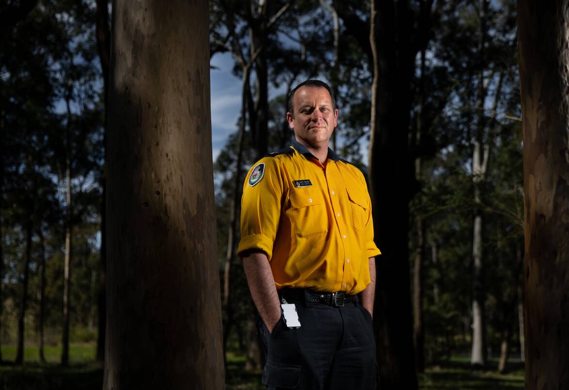
RFS Hunter district manager Superintendent Martin Siemsen said a three-year run of relatively wet weather was coming to an end, which meant everyone needed to "get used to a different weather pattern".
Superintendent Siemsen said elevated winter fire danger ratings typically came with the increased influence of northwesterly winds.
"It is likely [we will] see more elevated fire dangers as we enter into spring," he said on Thursday.
"The dry period we are seeing is an indication that we are going to see dryer than normal conditions [in the coming months].
"People living in bushfire-prone areas really need to prepare now, understand the fire risk, have conversations about what actions you will take in the event of fire, know your fire danger ratings, understand bushfire alerts system and keep informed about fires in and around your area with apps like Hazards NSW."
Three years of La Nina in NSW has meant little bushfire activity in the Hunter since 2019, but the Bureau of Meteorology says El Nino conditions could be on the way - modelling has predicted a 70 per cent chance of it taking hold this year.


