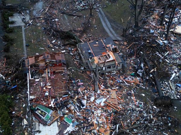
A relatively quiet respite for Americans in terms of hurricane activity appears as if it is coming to an end, with a storm forming in the Gulf of Mexico that is set to become a hurricane when it reaches the US coast on Wednesday.
The storm, called tropical storm Francine, was located about 300 miles south of the mouth of the Rio Grande and is expected to move north, hitting the gulf coastline of Louisiana, as a category one or even two hurricane. Such storms have wind speeds of at least 74mph (119km/h) or 110mph (177km/h), depending on the category.
The storm is expected to unleash heavy rain and therefore flooding in north-east Mexico, southern Texas, southern Louisiana and southern Mississippi until Thursday, the National Hurricane Center (NHC) warned.
It is still unclear where the exact impacts of the storm will be. But the NHC said that the potential for life-threatening storm surges and damaging winds were increasing for portions of the Louisiana and upper Texas coastlines beginning Tuesday night.
Oil and gas producers such as Exxon and Shell have started to evacuate staff from facilities along the Gulf coast and are cutting back on certain drilling operations in preparation for the storm. Restrictions upon vessels navigating certain ports, such as Corpus Christi in Texas, have also been imposed by the US Coast Guard.
The new storm brings to a close a relatively benign period for Americans following a forecast from the National Oceanic and Atmospheric Administration that predicted an above-normal hurricane season in the Atlantic this year, with as many as 25 named storms.
The fears of a violent hurricane season were spurred by record ocean temperatures in the Atlantic, caused by the climate crisis, whose primary drivers include the burning of fossil fuels. Developing La Niña climatic conditions in the Pacific, which typically reduce wind shear in the Atlantic that breaks apart storms, were also expected to contribute to what had been predicted to be a more active than normal hurricane season.
Since June, there have been five named storms, three of which became hurricanes. The latest storm will essentially coincide with the arrival of what has been the statistical peak of US hurricane seasons: 10 September.
The prospect of a major storm hitting the Gulf of Mexico coastline also comes as Americans many miles away are dealing with another hazard that is being accelerated by global heating – wildfires.
An out-of-control wildfire burning in a national forest about 65 miles east of Los Angeles is threatening 35,000 buildings, firefighters have warned, including thousands of homes. Evacuation orders have been issued for several days amid a prolonged heatwave and expected thunderstorms that have worsened the risk.


