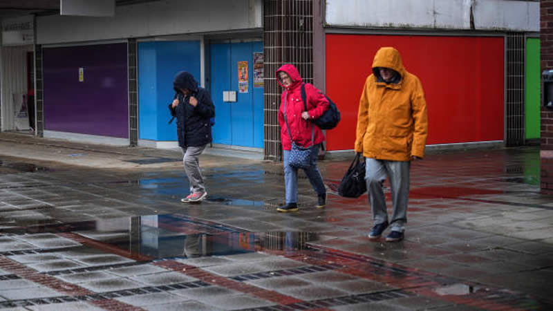
Just when you thought it was safe to pack away your winter coat, it looks like the UK might need to brace itself for another bout of cold weather. For those up north in England, parts of Scotland, and around the North York Moors, don’t be surprised if you see a bit of sleet or snow soon. With brisk winds making the temperatures feel like they’re hovering around freezing, it’s going to feel a lot colder than usual for this time of year.
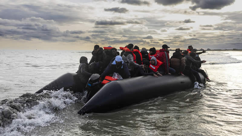
March’s weather isn’t typically known for its warmth, but even by British standards, we could be in for a colder end to the month than expected. This chilly forecast is down to something called sudden stratospheric warming (SSW) — a bit of a misnomer since, despite its name, it often leads to some of our coldest weather spells, like 2018’s infamous Beast from the East.

So, what exactly is sudden stratospheric warming? Well, it’s a dramatic rise in temperature that occurs high up in the stratosphere, the second layer of Earth’s atmosphere. This phenomenon doesn’t impact us directly at ground level, but give it a few weeks, and the effects start to trickle down, influencing the jet stream. This narrow band of wind plays a crucial role in shaping our weather patterns, and when it starts to “snake” or meander more than usual, it tends to lock in a pattern of high pressure that’s tough to shift.
- Susanna Reid Abruptly Halts Show for Heartbreaking Breaking News
- Meghan Markle fuels fresh rift with Kate Middleton after Harry’s secret meeting
- UK Toddler Fights for Life in Mexico—Family Trapped Until They Pay £100,000
- Emily Thornberry Outraged After Israeli Minister Secretly Films Her – Demands Immediate Action
- Keir Starmer Panics as Labour Revolt Forces Last-Minute Delay on Benefits Cuts Vote
For the UK, this usually means a prolonged spell of dry and cold conditions, while southern Europe often ends up with milder, wetter, and windier weather. Occasionally, these conditions can lead to snowfall, which is what happened back in early 2018 during the Beast from the East. One key feature of an SSW is the reversal of wind flow in the stratosphere, known as the stratospheric polar vortex. When this vortex weakens or splits, it causes the jet stream to become wavier, allowing cold air to spill into regions that are typically warmer, leading to severe cold or winter storms.
Recently, the Met Office reported that these stratospheric winds are weakening rapidly, signaling that an SSW event is very likely to occur by mid-March. Though it’s worth mentioning that not every SSW results in extreme weather. According to a Met Office spokesperson, about 70% of these events lead to colder, easterly winds across northern Europe and the UK.

Sky News meteorologist Jo Robinson noted that while the current SSW is likely to increase high pressure and blocked weather patterns for late March, the forecasts are mixed, with some models suggesting milder, unsettled weather instead. The immediate outlook for the rest of the week suggests chilly conditions, with overnight frosts creating icy stretches. Looking ahead into early April, we might see a shift towards drier and more settled weather, with temperatures potentially climbing above average.
While it’s still unclear whether we’ll see another Beast from the East, the odds seem lower this time. However, it’s a reminder of how unpredictable the weather can be. In 2018, the cold conditions were responsible for significant disruptions and even fatalities. Here’s hoping that whatever weather comes our way, it’s much less severe.