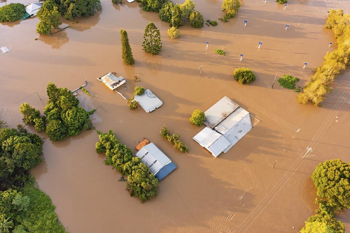
A rare "triple La Niña" could lash Australia's east coast with flooding rains and chillier weather for the third consecutive summer, experts are warning.
Dr Mike McPhaden, a US government scientist, said La Niñas often come in pairs. But changing weather conditions suggest a third one could be on the way.
Weather forecasters say temperatures in an area of the tropical Pacific Ocean have dipped of in recent months, suggesting the current La Niña could remain in place until the summer or fade and then return.
Mr Phaden, a senior research scientist at the US government’s National Oceanic and Atmospheric Administration (NOAA), said: "In very rare situations La Niñas persist into a third year and it looks like this might be happening this year.
“Triple dip La Niñas are rare. The last one was from 1998 until 2001 – so more than 20 years ago. This has the potential to be a triple dip La Niña that could go into early 2023.”
Mr McPhaden, who is based in Seattle, is in Australia for meetings with fellow scientists, The Guardian reports.
He gave a seminar in Sydney earlier this week on conditions in the Pacific and what impact they could have on weather patterns in the coming months.
The surface temperature of the ocean in a specific part of the tropical Pacific Ocean are used to help gauge weather.
The area is known as Nino 3.4 and helps scientists to understand whether there could be an El Niño or La Niña.
Parts of Australia’s east coast were earlier this year hit by the worst flooding in decades.