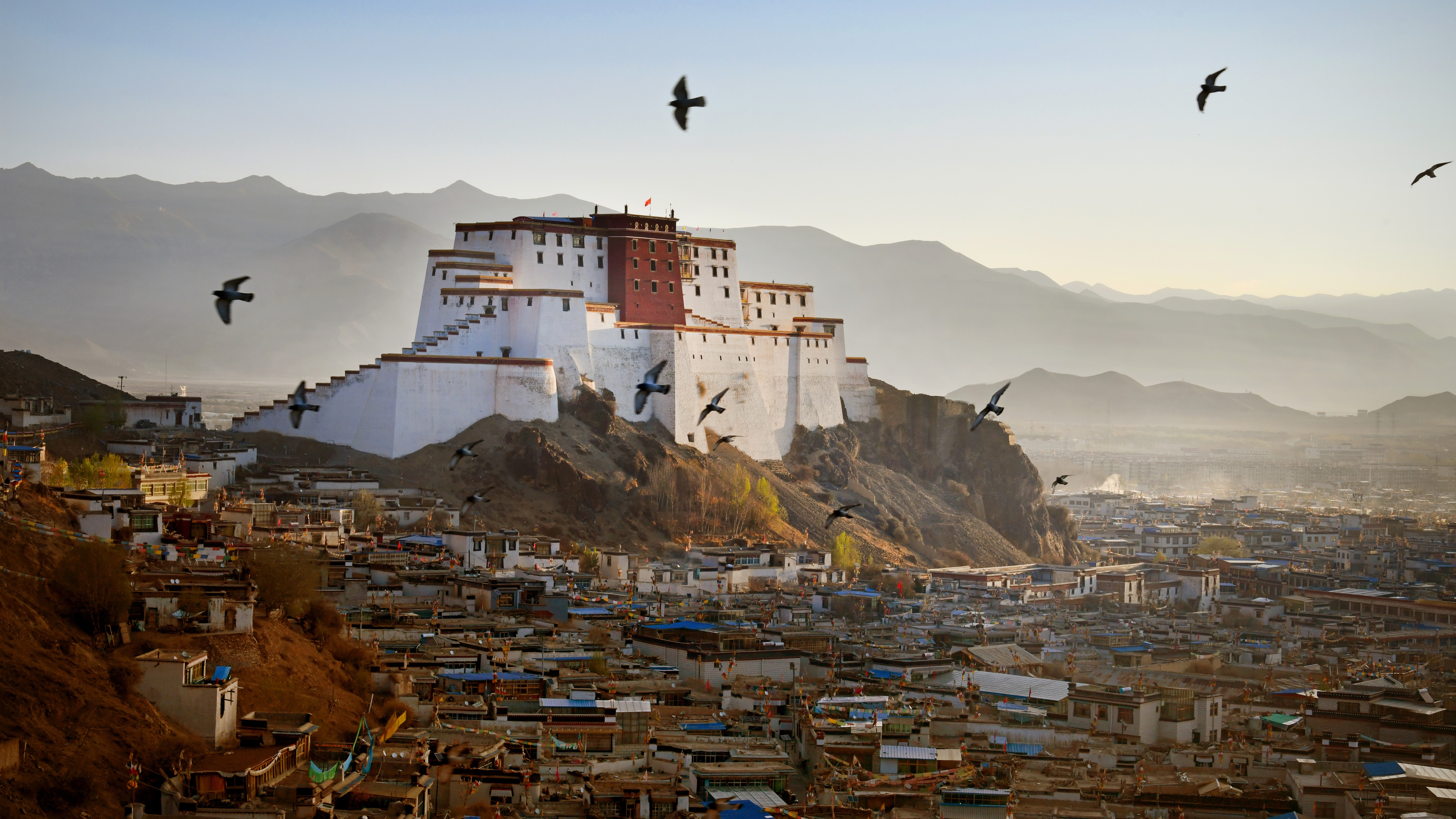
A deadly magnitude 7.1 earthquake hit one of the holiest cities in Tibet on Tuesday morning (Jan. 7), local time.
The earthquake struck at 9:05 a.m. China standard time (8:05 p.m. EST on Jan. 6), and has killed at least 95 people and injured 130 more as of 3 p.m. local time (2 a.m. EST), according to Chinese state media.
Chinese officials reported that the earthquake had a magnitude of 6.8, but the U.S. Geological Survey (USGS) registered the magnitude at 7.1.
The earthquake's epicenter was below Dingri County in the holy city of Shigatse, or Xigazê, which is part of the autonomous region of Tibet, southwestern China.
Chinese President Xi Jinping ordered "all-out rescue efforts to save lives and minimize casualties," Chinese state media reported.
Related: Massive magnitude 7 earthquake strikes off California coast
Around 6,900 people live within 12.4 miles (20 km) of the epicenter of the latest earthquake. Initial surveys have found that more than 1,000 houses have been damaged, with some turned to rubble. Officials sent more than 1,500 firefighters and rescue workers to the affected areas on Tuesday morning, Chinese state media reported.
After the initial quake in Tibet, there were dozens of aftershocks that registered up to a magnitude 4.4. The neighbouring countries of Nepal, Bhutan and India all felt tremors, Sky News reported.
"There have already been a number of potentially damaging aftershocks and more can also be expected in the area," a spokesperson for the British Geological Survey told Live Science in an email.
The spokesperson noted that most earthquakes are followed by aftershocks, and that the rule is usually the larger the earthquake, the larger the aftershocks and the longer these aftershocks last.
"Aftershocks might affect the region for months to come which could heavily impact those living in the area, but, after a few days, the number of aftershocks expected should rapidly decrease," the spokesperson said.

Earthquakes strike when two blocks of earth slip past one another at fault lines — the zones between these blocks. Faulting events of the kind in Tibet usually cover an area that's around 28 miles (45 kilometers) long and 12 miles (20 km) wide, according to USGS.
Plate boundary
The earthquake struck at a depth of 6 miles (10 km) below the surface near the Eurasian and Indian tectonic plate boundary, according to USGS. This region has a history of large earthquakes, including the 2015 Nepal earthquake, or Gorkha earthquake, that killed some 9,000 people.
"This is a very earthquake prone region which has experienced many large earthquakes in the past, including the magnitude 7.3 Gorkha, Nepal, earthquake in 2015, which [was] around 160 km [258 miles] to the southwest and resulted in 8,669 fatalities," the spokesperson said. "In 1934, a magnitude 8.0 earthquake occurred approximately 160 km to the south-southwest."
Scientists cannot predict earthquakes, and they usually occur without warning, making them one of the most dangerous natural disasters.
The Eurasian and Indian plates colliding into one another drives a process called uplift in the Himalayas, which includes Mount Everest. The Indian plate is sliding beneath the Eurasian plate, driving the edge of the Eurasian plate up. The edges of two plates were already quite high before they started colliding millions of years ago, which contributed to the Himalayas' great height.


