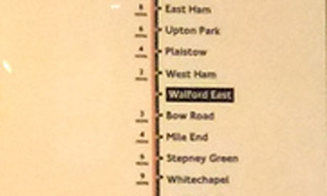
In case you were wondering which tube line you should catch for Albert Square, and exactly how long it will take you to travel there from White City, then concern yourself no more. The Walford East stop – it's in London E20, Monkey seems to remember – is between West Ham and Bow Road on the district and Hammersmith line, according to this tube map in the National Media Museum in Bradford, photographed by James Cridland. It's bad news for Bromley-by-Bow, which appears to have entirely disappeared as a result. As one commenter suggests, it's a shame it's not next to another BBC institution, Mornington Crescent. No word on whether it's going to be on Crossrail. Oh, and from BBC TV Centre to Walford East? About 37 minutes.


