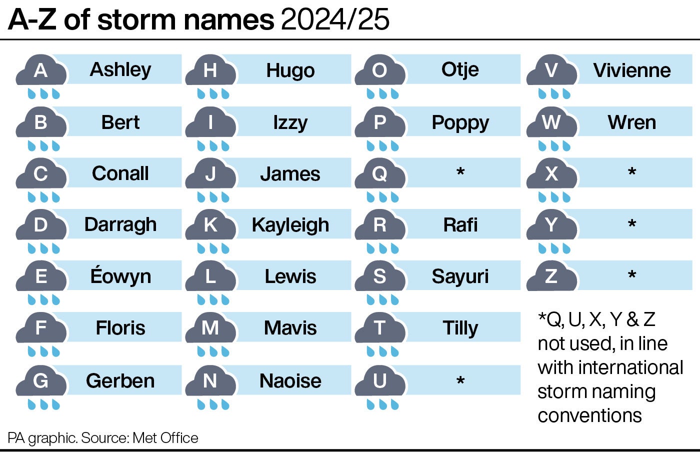
An amber warning for wind has been issued for parts of the UK with the arrival of the fourth named storm of the season.
Storm Darragh is expected to bring 80mph winds and heavy rain late on Friday and into Saturday.
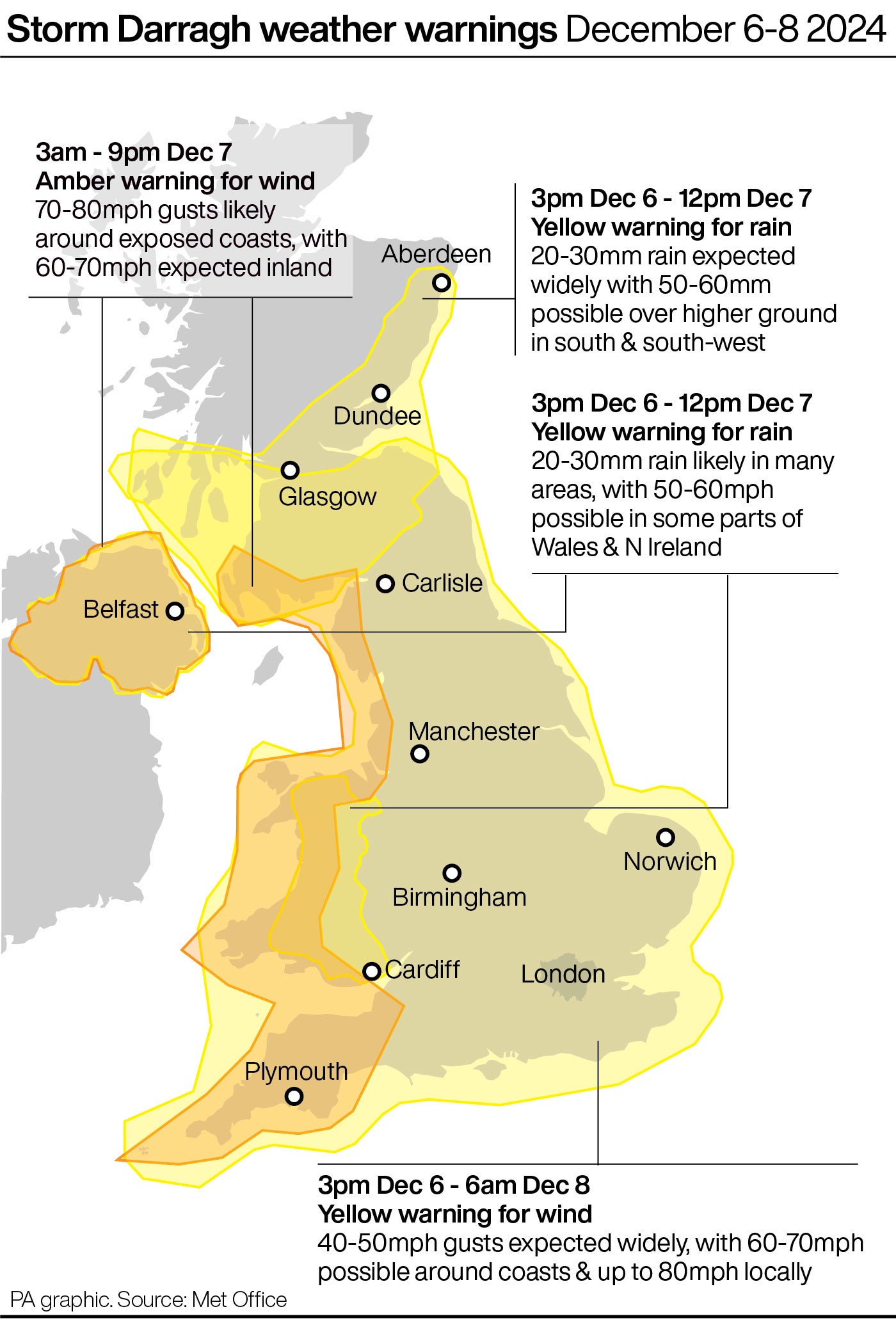
The warning for “potentially damaging” winds is in place for the west coast of the UK from South Ayrshire in Scotland down to Cornwall, as well as in Northern Ireland, on Saturday from 3am until 9pm.

The Met Office has issued a yellow warning for wind and rain on Thursday across parts of Northern Ireland, Wales, Scotland, and England, with the warnings extending to cover the North East and south of England on Friday.
A yellow warning for wind remains in place for Sunday across England, parts of Scotland, Northern Ireland, and Wales.
The Met Office warned that flying debris could cause injury or danger to life while buildings may be damaged, such as tiles blown from roofs.
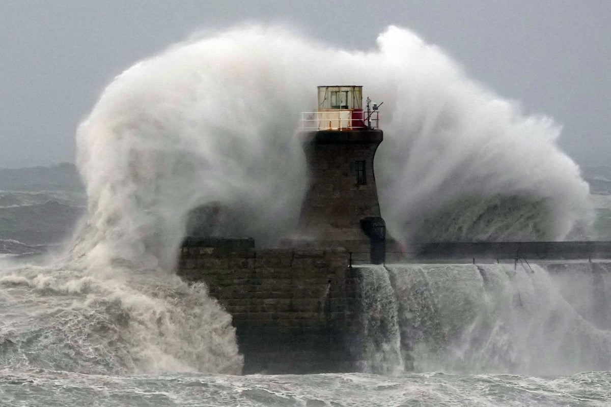
It said power cuts and large waves should be expected, and some roads and bridges may be closed, with falling trees posing an additional hazard.
#StormDarragh has been named and is forecast to bring very strong winds and heavy rain to the UK later on Friday and through the weekend #WeatherAware ⚠️ pic.twitter.com/xqPH9hvqxs
— Met Office (@metoffice) December 5, 2024
The heaviest rainfall is expected to be focused in the northern and western parts of the warning area and some hill snow can be expected in areas above 200m elevation.
Met Office chief forecaster Jason Kelly said: “Storm Darragh is an evolving system and will bring several hazards, including wind gusts of up to 70-80mph around western coasts, especially from Devon and Cornwall to south-west Scotland and Northern Ireland.
“Wind speeds in inland areas will be slightly reduced with maximum gusts expected to reach 60-70mph.”
Senior forecaster for the Met Office, Simon Partridge, said there will be some “very dangerous” conditions particularly around coastal areas.
He said: “The main thing is unless you really need to be going out in this on Saturday, it’s best to avoid it, particularly if you live in any of those areas covered by the amber wind warning.
“70 mile an hour winds are dangerous and we could see, as the warnings suggest, a risk to life as a result. We have a very blustery spell of weather ahead.
“Amber warnings are usually over small areas, but because of the track of the storm, this will actually affect quite a large part of the UK.”

Dale Hipkiss, duty manager at National Highways, said: “If you’re planning to drive over the next few days, prepare in advance for the journey and take extra care on the roads.
“If weather conditions become challenging, adjust your driving behaviour to manage the conditions as safely as possible.
“It’s also a good idea for drivers to check their vehicles, such as tyres, coolant and oil levels, before heading out to reduce the risk of breakdowns.”
The Environment Agency said it is carefully monitoring the progress of the storm ahead of the weekend.
Katharine Smith, Flood Duty Manager, said heavy rain is expected to move “rapidly” across the north and west of England on Thursday evening.
She added: “Minor surface water flooding is probable across parts of North West England and minor river flooding is possible more widely across the country.
“Environment Agency teams are out on the ground and will support local authorities in responding to surface water flooding. We urge people not to drive though flood water – it is often deeper than it looks and just 30cm of flowing water is enough to float your car.”


