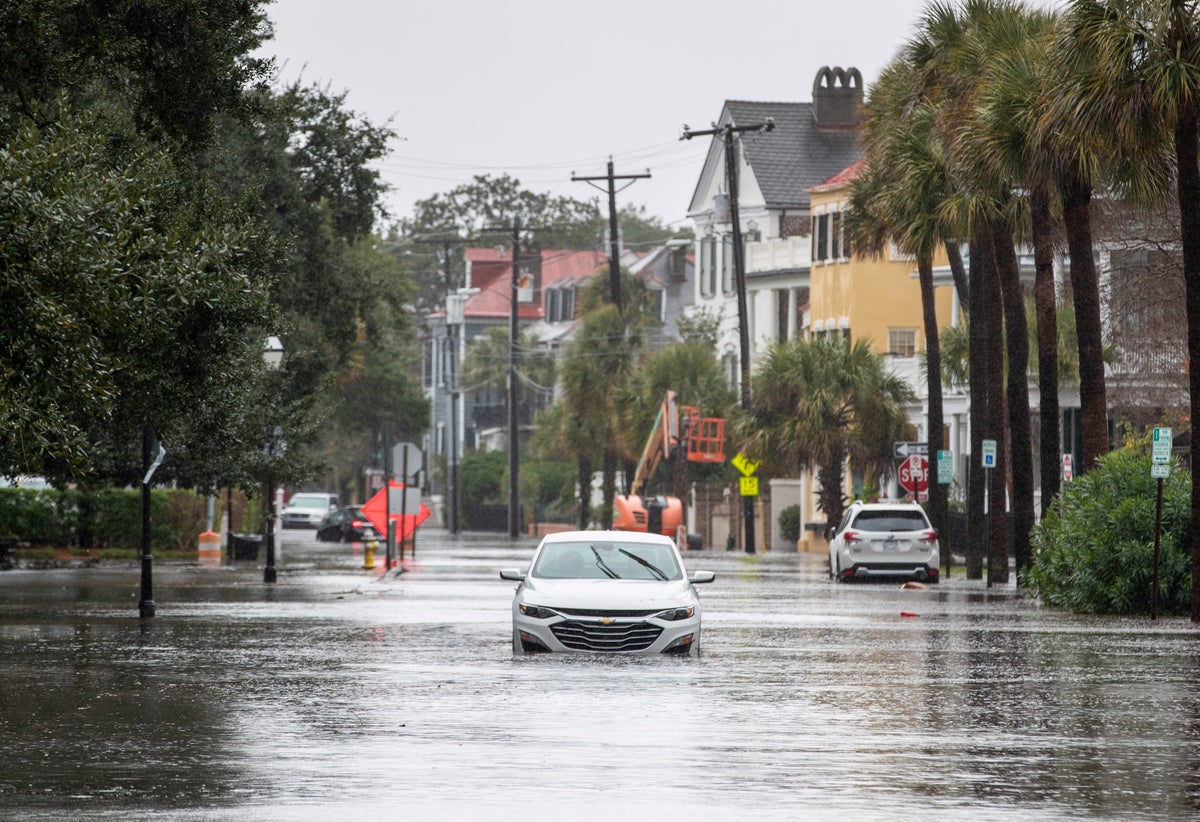
An intense late-year storm barreled up the East Coast on Sunday with heavy rains and strong winds that shattered rainfall records, forced water rescues from flooded streets and washed out holiday celebrations.
Authorities rescued dozens of motorists stranded by floodwaters in South Carolina's waterfront community of Georgetown, Georgetown County spokesperson Jackie Broach said. More than 9 inches (22.9 centimeters) of rain fell in the area situated between Charleston and Myrtle Beach since late Saturday.
“It’s not just the areas that we normally see flooding, that are flood-prone,” Broach said. “It’s areas that we’re not really expecting to have flooding issues...It’s like a tropical storm, it just happens to be in December.”
The tide in Charleston Harbor hit its fourth highest level on record and was “well above the highest tide for a non-tropical system,” according to the National Weather Service.
Rising sea levels driven by human-caused climate change mean even relatively weak weather systems can now produce storm surges previously associated with hurricanes, said Meteorologist Jeff Masters, co-founder of the Weather Underground. In South Carolina that’s worsened by natural subsidence along the coast.
By 2050, Charleston is expected to see another 14 inches (35.6 centimeters) of sea level rise, Masters said.
"In Charleston, this is the sixth time this year already that they've had a major coastal flood. Most of those would not have been major flooding 100 years ago, because the sea level has risen that much," he said.
The storm was forecast to gain strength as it tracked along the Georgia and Carolina coasts, producing heavy rain and gusty winds before sweeping into New England by Monday morning, the weather service said. Wind gusts of 35 mph to 45 mph (56 kph to 72 kph) could bring down trees, especially on saturated ground.
There were numerous road closures in Charleston and across South Carolina's Lowcountry, while stranded cars littered streets.
There were no reports of injuries or deaths in Georgetown County, Broach said. Gusty winds were strong enough to topple some signs and trees. Outdoor holiday decorations were tossed about, she said.
Water rescues also took place on Kiawah and Seabrook islands, according to media outlets.
Charleston International Airport had more than 3 inches (8 centimeters) of rain in 24 hours — almost five times the prior record set in 1975, according to the National Weather Service.
Farther up the coast, minor to moderate coastal flooding was expected Sunday, according to the National Weather Service office in Wilmington, North Carolina.
There were more than 31,000 power outages in South Carolina, according to PowerOutage.us, along with over 14,000 in North Carolina and more than 11,000 in Florida.
New York Gov. Kathy Hochul warned of a possible 2 to 4 inches (5.1 to 10.2 centimeters) of rain, powerful winds and potential flooding in parts of the state. Flood watches were in effect in many locations in New York City, and high wind warnings were activated around the city and Long Island.
“We will get through this storm, but preparation is the key,” New York Mayor Eric Adams said. City officials told residents to expect several hours of rain and possible delays during Monday morning’s commute.
Colder air behind the storm will trigger lake-effect snow across the Great Lakes toward the Appalachians and upstate New York into Tuesday, the weather service said.
The storm dumped up to 5 inches (12.7 centimeters) of rain across Florida, inundating streets and forcing the cancellation of boat parades and other holiday celebrations.
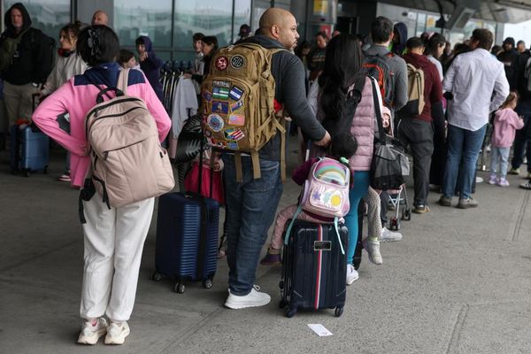
The National Weather Service issued flood warnings and minor flooding advisories for a wide swath of the state, from the southwest Gulf Coast to Jacksonville. Major airports remained open, however, at the start of the busy holiday travel season.
“Today is not the day to go swimming or boating!” Sheriff Carmine Marceno of Lee County, on Florida's southwestern coast, said on X, formerly known as Twitter.
Coastal advisories were issued for much of Florida as strong winds churned waters in the Gulf and along the north Atlantic coast.
The storm could be good news for residents in southwest Florida who have been facing water restrictions and drought conditions heading into what normally is the region's dry season.
The weather service also warned of 2 to 4 inches (5.1 to 10.2 centimeters) of rain in parts of Pennsylvania, New Jersey and Delaware, with the heaviest expected late Sunday night, and possible urban and small stream flooding and at least minor flooding to some rivers through Monday.
Forecasters also warned of strong winds in coastal areas, gale-force winds offshore, and moderate coastal flooding along Delaware Bay and widespread minor coastal flooding elsewhere.
The weather service said there is a slight risk of excessive rainfall over parts of New England through Monday morning, with the potential for flash flooding. Northern New England is expected to get the heaviest rain Monday through Tuesday morning.


