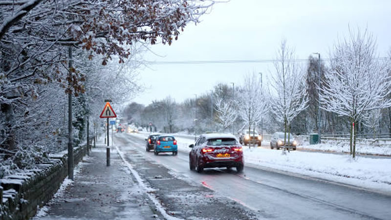
After a rather mild weekend with temperatures peaking at a cosy 20C in some spots, the UK is set to revert to wintry conditions this week. The brief respite is over, as forecasts indicate a significant drop with subzero temperatures sweeping across the country and more snow on the horizon as March progresses.
The latest maps from WXCharts predict a vast stretch of snow covering approximately 550 miles from Inverness down to Cardiff. Several centimetres of snow are expected to blanket some areas by Wednesday, starkly contrasting the weekend’s mild weather.
More: UK Braces for 3cm of Snow Per Hour Just Days after Hottest Day of the Year
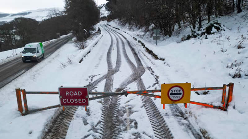
By early Wednesday morning, the heaviest snowfall is likely to hit central Scotland, the border regions, and the northwest of England. Snowfall isn’t expected to let up by midday, with heavy flurries anticipated in northeastern England, the West Midlands, and Wales.

With Wednesday’s temperatures hovering below zero or near freezing across most regions, it’s set to be a bitterly cold day. Met Office forecaster Alex Burkill sheds light on the chilly outlook: “There will be plenty of showers for many of us as we go through the rest of the week and with that it is also going to feel pretty cool, pretty chilly at times. That’s because if we look at the temperatures which are around 850 hPA, that’s around 1,500 metres up and you can see some cold air plunging its way across the whole of the country as we go through Tuesday and into Wednesday. And with that we do have a brisk north, northeasterly wind and that is going to add to the chilly feel.”
The forecast for Tuesday suggests a clear shift from early cloud and rain to sunny spells and showers, which may turn wintry over the hills in Scotland and northern England, feeling colder than recent days. From Wednesday to Friday, the outlook is rather cloudy, although some brighter spells are possible. The scattered showers will continue, with sleet and snow over northern hills, and cold conditions expected overnight with frosts and potential ice formation.
The cold snap is expected to persist into the weekend, with high pressure to the north reducing showers and bringing some dry, sunny weather during the day, but nights will remain notably chilly with widespread frost. There might be occasional fog in the north and a brisk breeze in the south, adding an extra chill on Saturday.
Related: UK Set for 17C Heatwave Before Sudden Stratospheric Warming Brings Icy Blast
Looking ahead to next week, conditions are likely to shift again, with rain or showers becoming more frequent, particularly in the south, while the north may stay mostly dry. The latter part of next week could also bring a rise in temperatures, as conditions become milder.