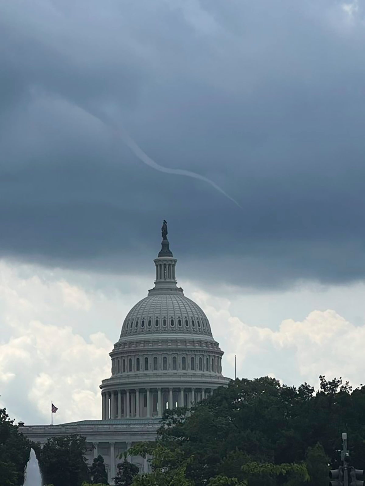
Observant visitors to the area around the U.S. Capitol building on Tuesday afternoon were treated to a unusual sight: the unmistakable shape of a funnel cloud extending diagonally from the sky and seemingly almost reaching the tip of the Capitol dome itself.
The funnel cloud never touched down on the ground and therefore can't be classified as a tornado. There was no damage and no reports of any other funnel clouds in the area Tuesday. But a photo of the thin, wispy twister curving over the Capitol drew more than 1 million views on Twitter.
Although the area around Washington isn't considered a tornado hotspot, small proto-twisters like the one Tuesday “certainly do happen sometimes,” said Austin Mansfield, a meteorologist with the National Weather Service.
They're most common during what Mansfield called “convection season” — the warm months running from spring through the end of summer. Although strong thunderstorms are fairly routine in the nation's capital, Mansfield said a particular type of “spin in the atmosphere” is what tips things over into funnel cloud conditions.


