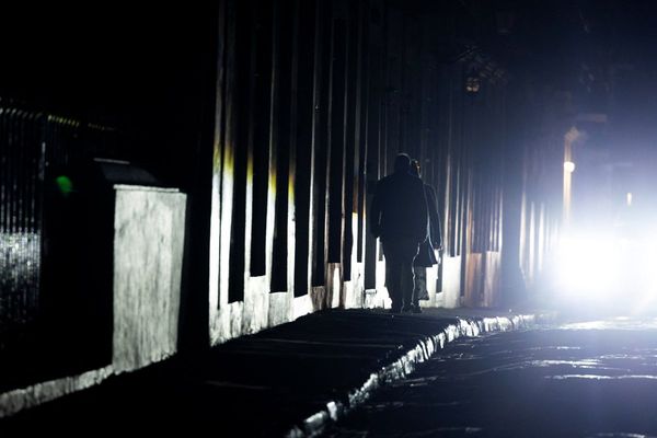
Some Shetland residents could be left without power for the rest of the week as freezing weather conditions worsen and temperatures hit -5C.
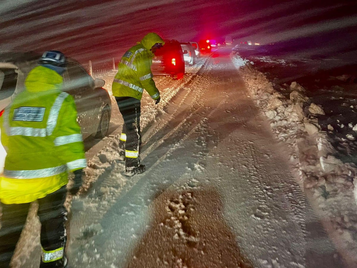
The Scottish government declared a major incident on Tuesday after thousands lost power when heavy snow, unusual in the area, brought down lines and poles on Monday.
SSEN Distribution is working to restore supplies to about 2,800 homes but is only likely by the end of the week.
Temperatures in Shetland will reach lows of -5C by Thursday in Lerwick, with sub-zero temperatures remaining for much of the week.
Emma Macdonald, leader of Shetland Islands Council said: “We don’t normally get much snow, we get a lot of wind and gales, and it has had a significant impact.
“We have so many lines down and people could be without electricity until the end of the week.”
Ms Macdonald added that about 70 engineers had arrived on the island to resolve the issue, but the poor weather was making their job challenging.
She added: “It’s not the fault of the power company, they are doing everything they can to get connected.
“We are a resilient community and are often cut off during the winter if the ferry doesn’t run. We do all pull together.”
SSEN spokesman Graeme Keddie told BBC Radio Scotland's Good Morning Scotland programme: “This has been a very concentrated and explosive weather event on Shetland which was far more severe than forecast.
“The local teams have said this is the worst they’ve seen since 1995 over the Christmas period.”
The network issues come as temperatures have dropped to record levels across the country, with -17.3C recorded at Braemar in Aberdeenshire on Monday into Tuesday, making it the coldest place in the UK for the second night in a row.
The Met Office has extended a yellow weather warning for snow and ice covering northern Scotland and north-east England until midday on Friday.
According to the forecaster, some areas across the UK could see up to 10cm of fresh snow.
“We could see a good few new centimetres of snow accumulation," said Met Office spokesperson Becky White. “We could see around 1-4cms at lower levels and 5-10cm on higher ground across the Highlands.
“There will be a risk of ice across the country over the next few days, but particularly tonight.
“There is a band of rain moving in from the South West, but it may turn into snow as it reaches land.”


