We like to think of land as a fairly static thing, considering that's where we spend the majority of our lives.
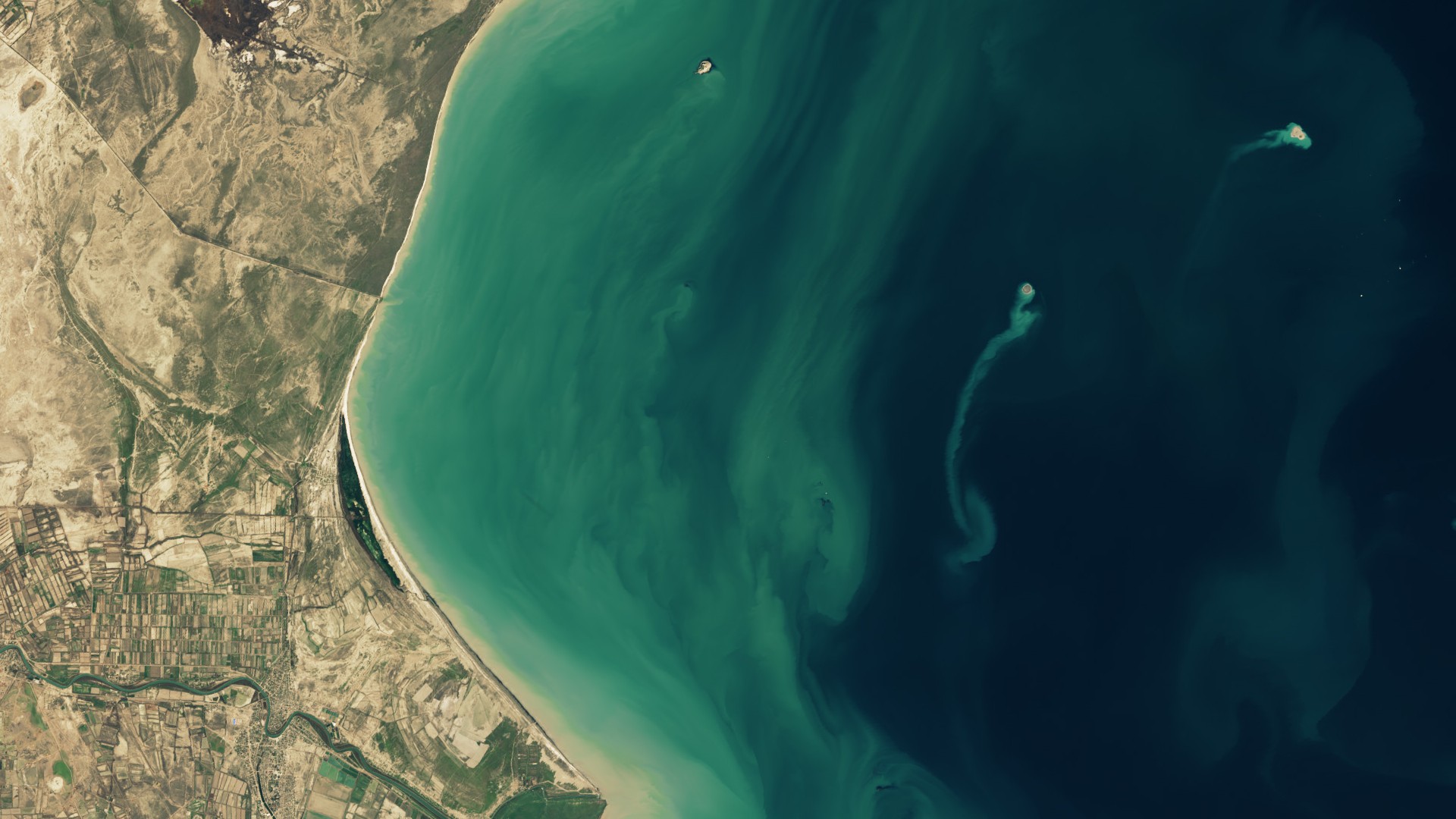
And to think that the ground is ever-changing, well, that's a bit unsettling. But the reality is land is always changing — perhaps nowhere more so than at the Kumani Bank mud volcano, also known as Chigil-Deniz, some 15 miles (25 km) off the coast of Azerbaijan in the Caspian Sea.
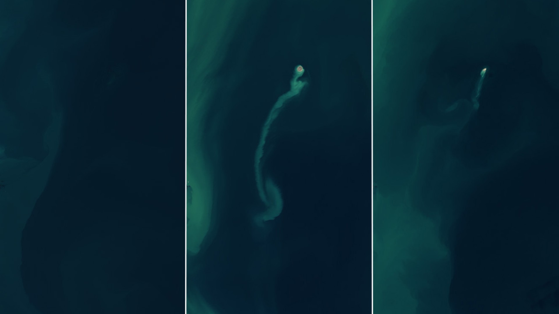
The NASA Earth Observatory has released a series of images taken with the Operational Land Imager (OLI) and OLI-2 instruments on the Landsat 8 and 9 satellites, in which you can see the birth and decay of a new island.
In the first image from November 2022, the underwater mud volcano is solidly beneath sea level, with no discernable land peeking out from the water. But following an eruption in early 2023, an island materializes at the surface, its plume of sediment stretching for miles.
The island shown in the second image likely formed between Jan. 30 and Feb. 4, 2023, and it measured approximately 1,300 feet (400 meters) across at its peak. Yet in less than two years, that island has been whittled down by the sea to barely a dot — not much remains in the third photograph, dating to the end of 2024.

This is hardly the first time the ghost island of the Kumani Bank has appeared and disappeared, NASA's Earth Observatory wrote in a statement. The mud volcano has eight other recorded eruptions, dating back to May 1861, when the island that formed was just 285 feet (87 meters) wide and 11.5 feet (3.5 meters) above the water. The largest island formed after an eruption in 1950. It was 2,300 feet (700 meters) wide and 20 feet (6 meters) high.
University of Adelaide geologist Mark Tingay called mud volcanoes "weird and wonderful features that remain largely understudied and little understood," in a seminar for the Geological Society of Australia. They form in places where pressure underground forces hot fluids, gases and sediments up to the surface.
On Earth, there's an abnormally high concentration of them in Azerbaijan — more than 300 can be found around and off the east coast of the country, where the Kumani Bank is located.
But we've also seen them on Mars. Scientists suspect that circular mounds found in the northern lowlands of the Red Planet are likely akin to mud volcanoes on Earth.


