Tropical Storm Karl moved slowly toward Mexico's southern Gulf coast, and while it was not expected to grow into a hurricane, forecasters warned of the danger of flash floods from heavy rains in the region.
The storm was expected to weaken somewhat Friday before making landfall in Veracruz state or Tabasco state by late Friday or early Saturday.
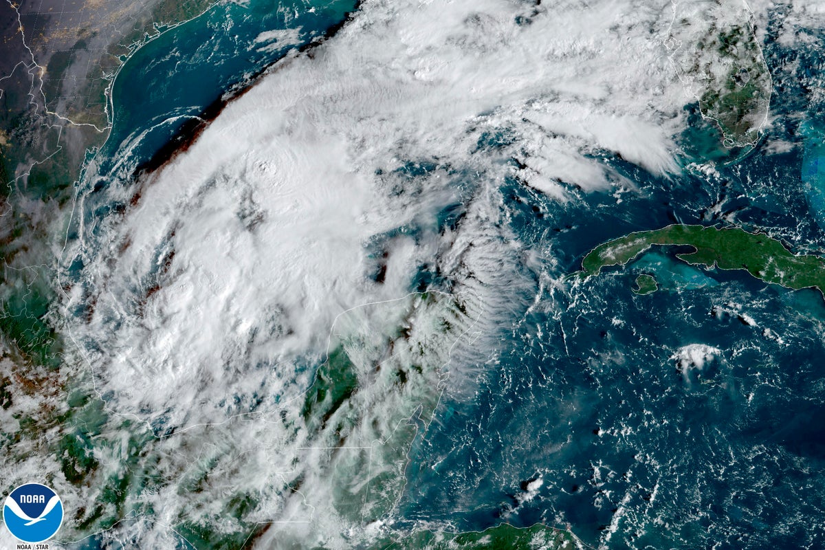
Karl had maximum sustained winds of 45 mph (75 kph) late Thursday, the U.S. National Hurricane Center said. The storm was centered about 155 miles (245 kilometers) north-northeast of the resort town of Ciudad del Carmen and headed southeast at 7 mph (11 kph).
A tropical storm warning already posted from the town of Alvarado to Ciudad del Carmen was extended to Sabancuy late Thursday.
Tropical storm-force winds of at least 39 mph (63 kph) extended outward as far as 70 miles (110 kilometers) from the center.
The hurricane center said Karl could drop 3 to 7 inches (8 to 18 centimeters) of rain across portions of Veracruz and Tabasco as well as northern Chiapas and Oaxaca states through Sunday morning. It said as much as 10 inches (25 centimeters) could fall in isolated spots.
“These rains can produce flash flooding, along with mudslides, in higher terrain,” its advisory said.