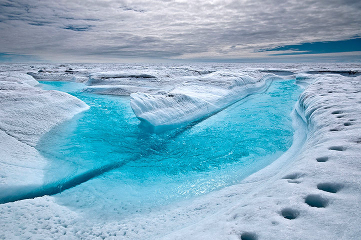
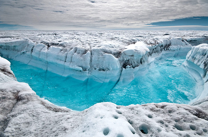
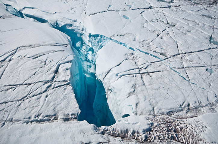
Each summer, streams channel much of the melt that is produced by the warmer temperatures along lower levels of the Greenland ice sheetPhotograph: Courtesy Ian Joughin/AAASSurface melt water rushes along the Greenland ice sheet through a glacial stream channelPhotograph: Courtesy Ian Joughin/AAASOver the course of several years, turbulent water overflow from a large melt lake carved this 60-foot deep canyonPhotograph: Courtesy Ian Joughin/AAAS
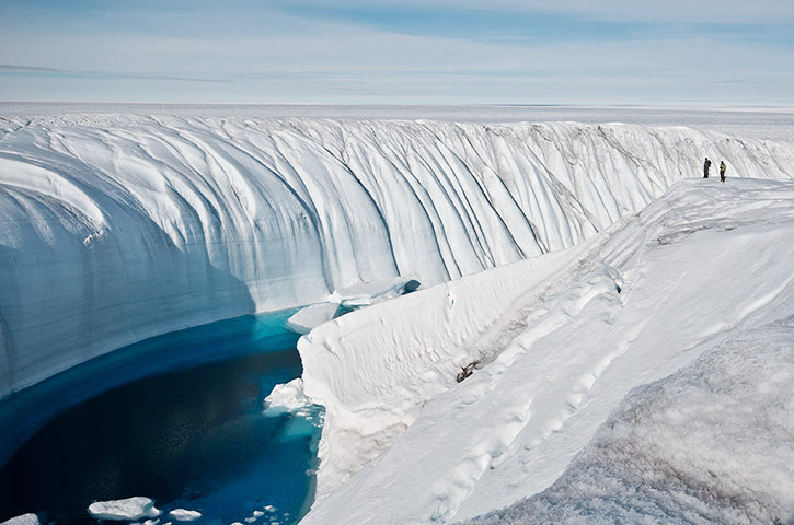
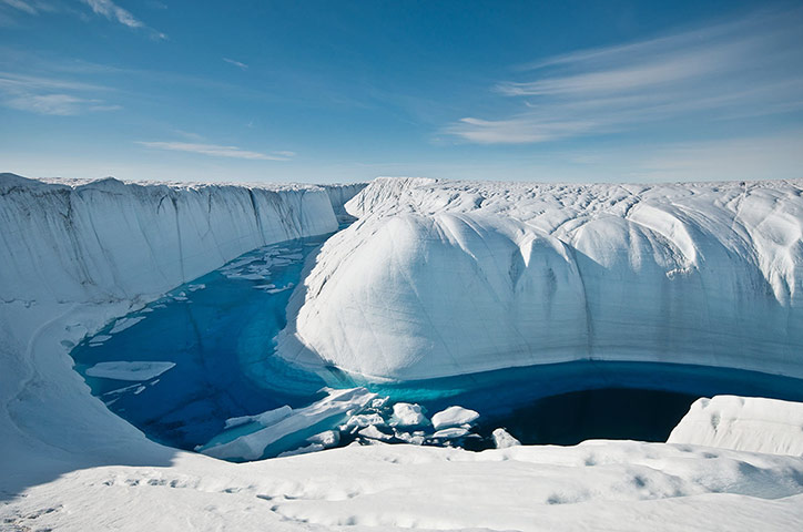
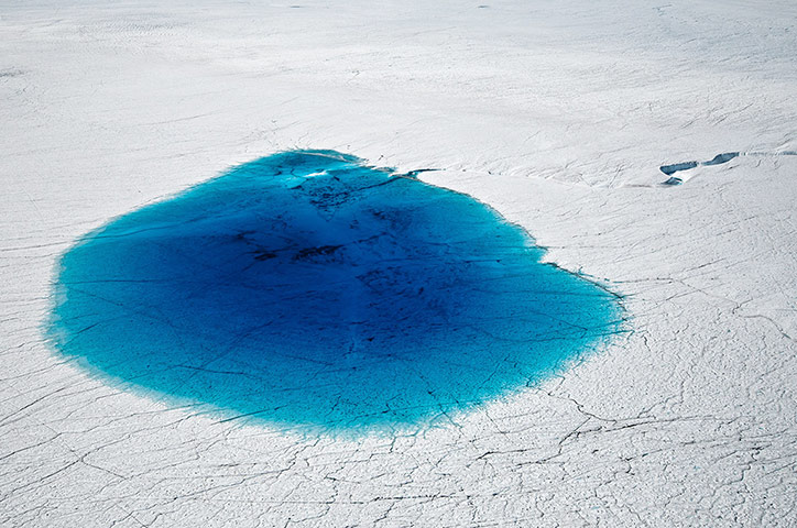
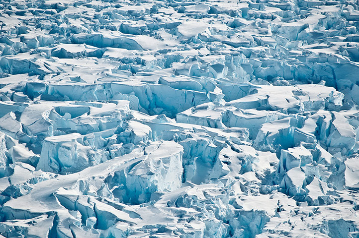
For several summers this deeply incised melt channel transported overflow from a large melt lake to a moulin (a conduit that drains the water through many hundreds of feet to the ice sheet's bedPhotograph: Courtesy Ian Joughin/AAASA large melt lake, around 0.75 miles in diameter, that is just one of the many supraglacial lakes (liquid water on the top of a glacier) that form on the ice sheet's surface during the period of strong summer meltPhotograph: Courtesy Ian Joughin/AAASMoulins like this one drain surface meltwater through ice more than 3,000 feet thick to reach the base of the ice sheet, where a subglacial drainage network carries it to the oceanPhotograph: Courtesy Ian Joughin/AAASA close-up of crevasses produced by rapidly stretching ice in Antarctica's Pine Island glacierPhotograph: Courtesy Ian Joughin/AAASCrevasses in an ice flow on Pine Island glacierPhotograph: Courtesy Ian Joughin/AAASA view of Pine Island glacier's floating ice shelf with a train of crevasses receding toward the horizonPhotograph: Courtesy Ian Joughin/AAAS
Sign up to read this article
Read news from 100’s of titles, curated specifically for you.