Parts of the UK could experience snowfall within two weeks after a warm Halloween weekend that will see temperatures hotter than Greece.
Forecasters from the Met Office have warned that snow may fall across the north and west of the UK as early as 9 November.
The cold snap will come after temperatures rise to 22C in London over the Halloween weekend, while temperatures in Greece will be 21C.
The Met Office said that, between 9 and 23 November, there could be “an increasing chance of settled weather from mid-month, bringing a potential for colder, drier weather especially for the north and west”.
“This would likely bring a risk of chilly nights with mist, frost and fog in places, with some snow possible in any showers in northern and western areas, especially over high ground,” the forecaster added.
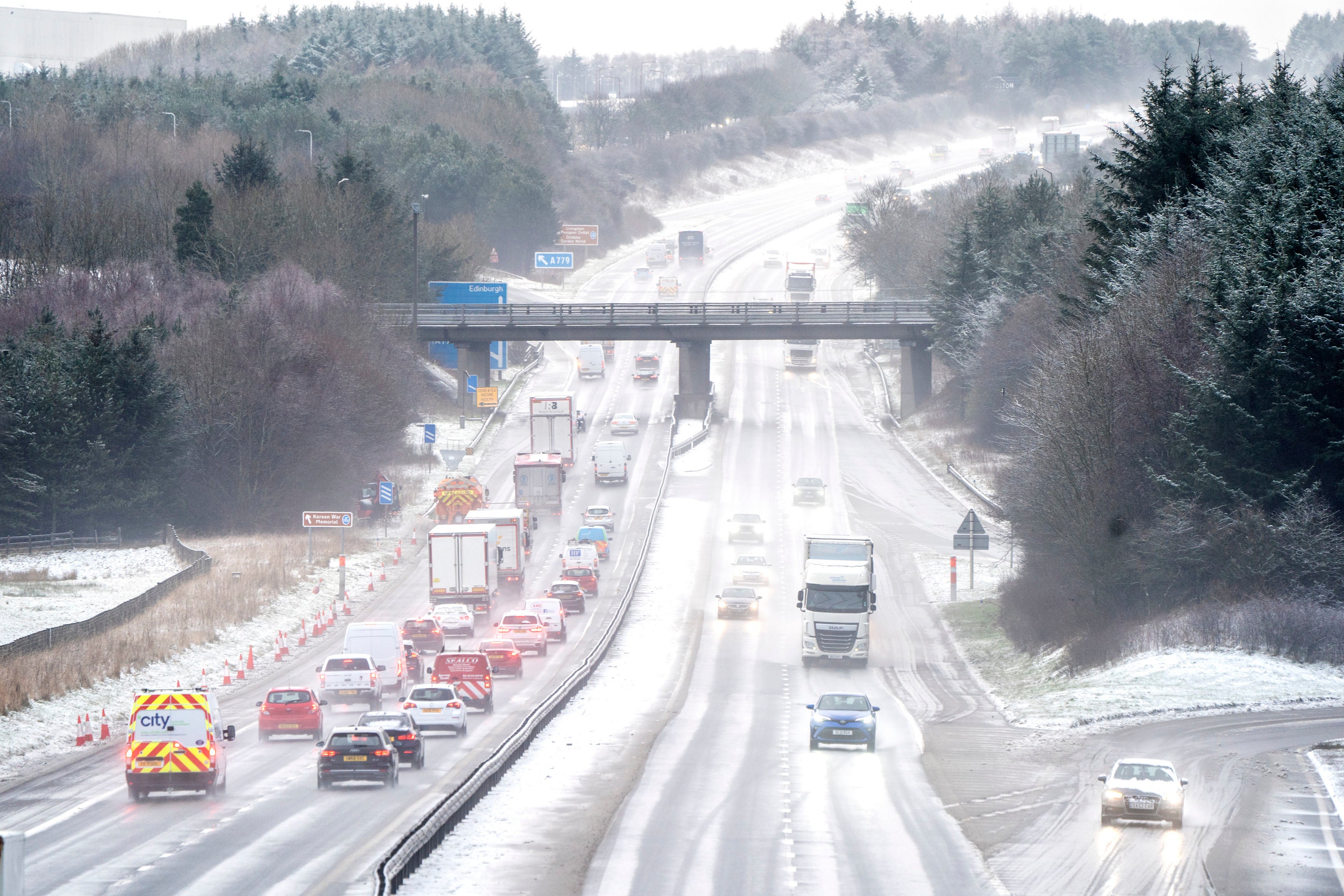
The Met Office notes that the UK being an island makes snow far less frequent than in mainland Europe.
“In winter, the land gets cold more quickly than the sea, so where there is a lot of land and very little sea, such as the huge interior of continental Europe, Canada or the United States, it gets cold enough for snow to fall frequently,” it said.
“However, for the UK, being an island surrounded by the milder water, the air can often warm up slightly before it reaches our shores, and we often see rain rather than snow, or, even trickier to forecast; a mix of rain, sleet and snow.”
Stephen Dixon, from the Met Office, said the potential for cooler weather will increase from mid-November, with the coldest weather most likely to be in the north west of the country.
“There will be an ongoing chance later in the month that any showers could fall as snow for a time in the north, with the high ground most likely to see the highest of any accumulations. There isn’t a signal beyond what we’d normally expect for this time of year in terms of snowfall,” Mr Dixon said.
However, the Met Office's long-range forecast gives an indication of what can be expected in the long term. From the end of October to 9 November it says: “Changeable and unsettled conditions are likely to continue on Monday with bands of showers and rain interspersed with clearer periods, moving in a northeastwards direction across the country.
“From mid-November, conditions are likely to settle, potentially bringing colder, drier weather especially for northern and western areas. Some rain can still be expected at times, especially in the south. An increasing chance of overnight frost and fog in places, as overnight temperatures start to fall.”
UK day weather forecast
Friday 28 Oct - Tuesday 1 Nov
Tonight:
Isolated showers in the northwest will gradually fade otherwise it will be dry with clear spells at first. A few fog patches developing before cloud and rain move north later.
Saturday:
Cloud and outbreaks of rain will move north, heavy at times in the west. Dry with sunny spells in the far north and later in the south. Very mild.
Outlook for Sunday to Tuesday:
A mix of sunshine or clear periods with blustery showers, sometimes merging into longer periods of rain, more frequent in the west and occasionally heavy and thundery. Still mild overnight.