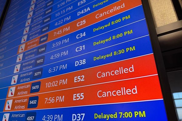
Californians are bracing for another potent storm system from the Pacific Ocean that AccuWeather meteorologists say will lead to widespread travel disruptions, aggravate ongoing flooding problems and add to the record amount of snow over the Sierra Nevada.
The dangerous storm will create a plume of moisture, called an atmospheric river, that will spray heavy rain like a giant firehose from north to south across the storm-weary state into Wednesday.
At least two deaths were reported from the storm this past Friday which also led to a number of evacuations and caused the National Weather Service to issue two rare flash flood emergencies in Central California.
“This will be another significant atmospheric river event for California and will lead to major flooding problems in parts of the state,” AccuWeather Senior Meteorologist Ken Clark said.
The storm will deposit a general 1-4 inches of rain across much of the state, with the exception of the deserts in the southeast, forecasters say. Along the west-facing lower and intermediate slopes of the Sierra Nevada, a general 4-8 inches of rain is expected, and an AccuWeather Local StormMax of 12 inches is possible.
“The heaviest rain and worst travel conditions in the San Francisco Bay Area will be late Monday night to Tuesday,” AccuWeather Senior Meteorologist Heather Zehr said. “The Tuesday morning commute around San Francisco will be nasty with gusty winds that create a driving rain.”
Gusts between 40 and 50 mph are forecast with the rain in San Francisco, but at nearby Point Reyes, gusts could approach hurricane force (74 mph).
“As for the Los Angeles area, the worst conditions in terms of rain and flooding will be from late Tuesday through Tuesday night,” Zehr said. “Travel Tuesday night over much of coastal Southern California will be plain old rotten.”
In terms of this atmospheric river’s impact on Southern California, when compared to the one from late last week, this storm will be worse due to heavier rain that is forecast to fall and the scope of flooding and mudslides that can be unleashed.
Since the ground is saturated from the frequent winter storms that have bombarded much of California, it will not take as much rain to cause problems. Most of this storm’s rain will run off into area streets, streams and major rivers.

With a growing number of reservoirs now releasing water, rather than retaining from drought recovery, water through some streams will flow a force that has not been seen for a few years. Moderate to major flooding is possible along some of the bigger rivers as the new batch of rain pours down and works through the hillsides and into the valleys and streams over the next several days. The additional rain may lead to new evacuations.
Motorists should be prepared for high water that may block their route. In some cases, roads and bridges could be washed away, while mountainsides become unstable and give way.
“Like the storm from last week, snow levels will be quite high with this storm and will generally fluctuate between 7,000 and 8,000 feet during the first part of the storm,” Zehr said.
This means that rain will fall on top of a deep snow cover that is already loaded with moisture. While last week’s storm wiped out a great deal of snow over the intermediate elevations, snow remains on the ground in some areas from 5,000 to 7,500 feet. Additional rain will melt some of that snow cover, but it will also add weight which may be too much for some roofs to handle. In some cases, roof damage or collapse may occur.

As slightly colder air rotates in on the backside of the storm, a change from rain to snow will occur over Donner Pass, along Interstate 80, on Monday night. Snowfall amounts ranging from 1-3 feet could slow or shut down travel from Tuesday to Wednesday.
Over the high country, where temperatures will remain below the freezing mark throughout the storm, a couple of yards of snow will pile onto the tremendous snowpack that has been in the making since late December.
In terms of water content locked up in the snow, this winter has now set a record, surpassing that of the winter of 1982-83 for the southern Sierra Nevada and is only second to that same winter for the central and northern Sierra Nevada, according to the California Department of Water Resources.
There is now about 2.5 times the historical average of water locked up in the snow cover in the southern Sierra, more than double the average in the central Sierra and 1.6 times the average across the north.
The amount of water locked up in the massive amount of snow on the ground will be released during the spring and early summer and should continue to alleviate leftover drought conditions but also contribute to ongoing flooding.

Additional storms will affect California as March progresses, with the next potential significant system forecast to roll in from the Pacific early next week.
AccuWeather meteorologists will continue to provide updates on the current storm and new information on the storms that follow into the spring.
Produced in association with AccuWeather


