Much of the central and eastern U.S. is slated to receive another blast of snow and wintry weather this week, bringing potential travel hazards and power outages.
Following weekend snow in the Northeast, a large section of the country is in the path of two storms that will sweep east from Tuesday through Thursday. Roughly 32 million people in the U.S. were already put under weather alerts on Monday night.
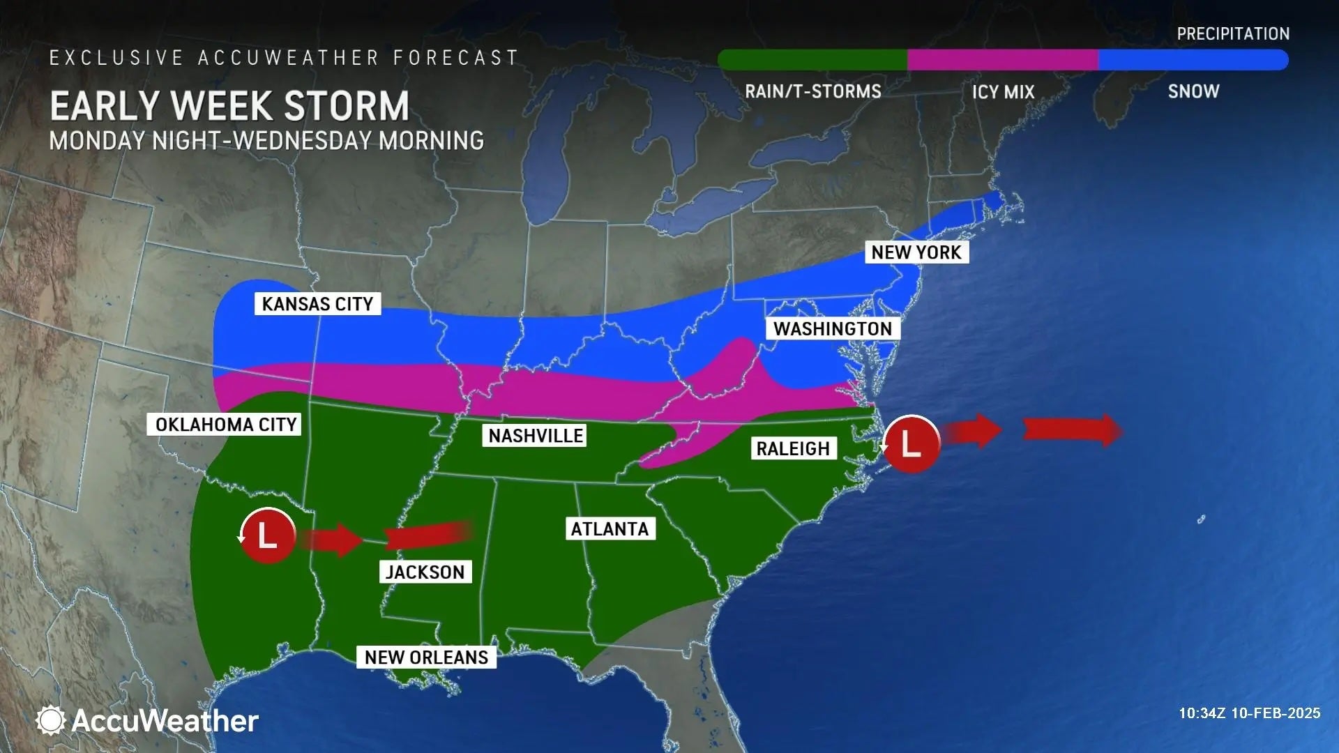
"The first storm from Monday night to Wednesday night will occur as cold air expands farther south and meets up with moisture spreading north from the Gulf," AccuWeather Meteorologist Alex Duffus said in a statement.
“This can lead to accumulating snow that may impact millions from the Plains to the mid-Atlantic states and southern New England, with the potential for significant travel impacts across the big cities in the region from late Tuesday into Tuesday night,” he cautioned.
The system was expected to reach the East Coast late Tuesday night.
More than 2,000 customers were already without power in Pennsylvania, and nearly 1,800 in New York, according to tracker PowerOutage.US.
Dozens of delays and flight cancelations were reported at Ronald Reagan Washington National Airport in Washington, D.C., tracker FlightAware showed.
“The airport is open and operational and our snow team is monitoring the runways,” the airport said in a post on social media. “Please check your flight status with the airlines for delays or cancellation if you are traveling later this afternoon or tomorrow.”
Schools were closed in Virginia, across Maryland, in Ohio, and other states.
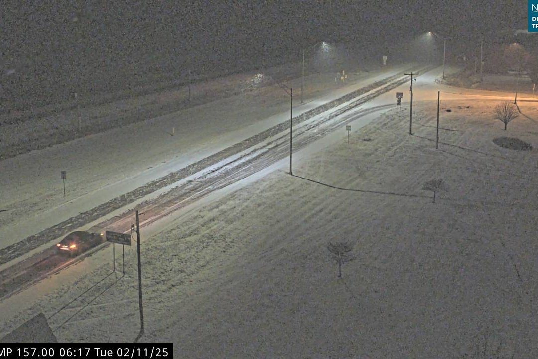
Snow was seen falling over Nebraska and Virginia in the early hours of Tuesday morning, blanketing roads.
“Ugh! I’m so over winter,” one Virginia Facebook user wrote.
Ahead of the storms, Kansas Gov. Laura Kelly issued a state of disaster emergency proclamation.
"Kansans have faced challenges due to winter storms this year," she said. "The key to meeting those challenges is to be prepared. As I did during past storms, I urge all Kansans to take measures to make sure their families are ready by making a home emergency kit and emergency plan."
By Tuesday night, temperatures in the Plains and Rockies were expected to drop to between 25 and 40 degrees below average.
Showers will also develop over the lower Mississippi Valley into the Southern Appalachians on Tuesday, with flash flooding forecast, putting urban areas and roads at risk.
Snow and freezing rain will spread across the Appalachians and Mid-Atlantic, with heavy snow falling from eastern Kentucky through the I-95 corridor.
The northeast is also expected to feel the storms’ impacts. Anywhere between 1-3 inches of snow is likely in the New York City metro area, according to ABC 7.
“Snowfall rates will sometimes reach 1 inch per hour, with heavy, wet snow totals of 4-8 inches expected.Isolated power outages are possible, and travel may become extremely hazardous (especially during the Tuesday evening commute),” the National Weather Service warned.
By Wednesday, the majority of the early storm will move offshore from the mid-Atlantic.
The Great Lakes and Ohio Valley will feel impacts from the second storm, as it tracks northeastward through Thursday before exiting from New England. The Great Lakes could see at least 5 inches of snow.
That storm could potentially produce higher snow totals, FOX Weather said, with heavy snowfall looking likely from the Plains to New England.
“The FOX Forecast Center said this relentless winter weather pattern could continue into next week, but it’s still too soon to know that for certain,” it added.