More than 220 million Americans are facing life-threatening and bitter cold weather this week as frigid air blasts much of the U.S.
Blizzard conditions during the winter storm have resulted in travel headaches at Gulf Coast airports, forcing more than 2,000 flight cancelations and more than 1,300 delays, according to tracker FlightAware.
Hundreds of cancelations were reported at Houston airports. William P. Hobby Airport and George Bush Intercontinental Airport said their flight operations had been temporarily suspended.
Local officials advised residents to leave roads for first responders and beware of icy driving conditions and strong winds. Video and photos showed anti-icing materials being applied on highways. Snowplows cleared lanes impacted by snow and ice.
“You’ve got about two hours to do your last-minute shopping, get off the roads and stay home for about the next 48 hours. This is a serious, life-threatening arctic blast,” Houston Mayor John Whitmire cautioned at a Monday press conference.
The Electric Reliability Council of Texas, the state’s grid operator, said that grid conditions were expected to be “normal,” and that a Weather Watch had gone into effect through Thursday due to the cold, higher electrical demand and the potential for lower reserves.
More than 36,000 customers were left without power in Southern Texas on Tuesday morning, according to site PowerOutage.US.
“The most impactful period of this storm system is expected over the next 6-8 hours. Avoid travel,” Houston’s National Weather Service office said.
Several Houston area school districts would remain closed on Tuesday and Wednesday.
School closures were also reported in Illinois, Maryland, Virginia, Tennessee, Florida and many other states affected by the polar vortex-driven Arctic blast, which encompasses the Rockies, the Northern Plains, Northeast and even the Southeast.

The South
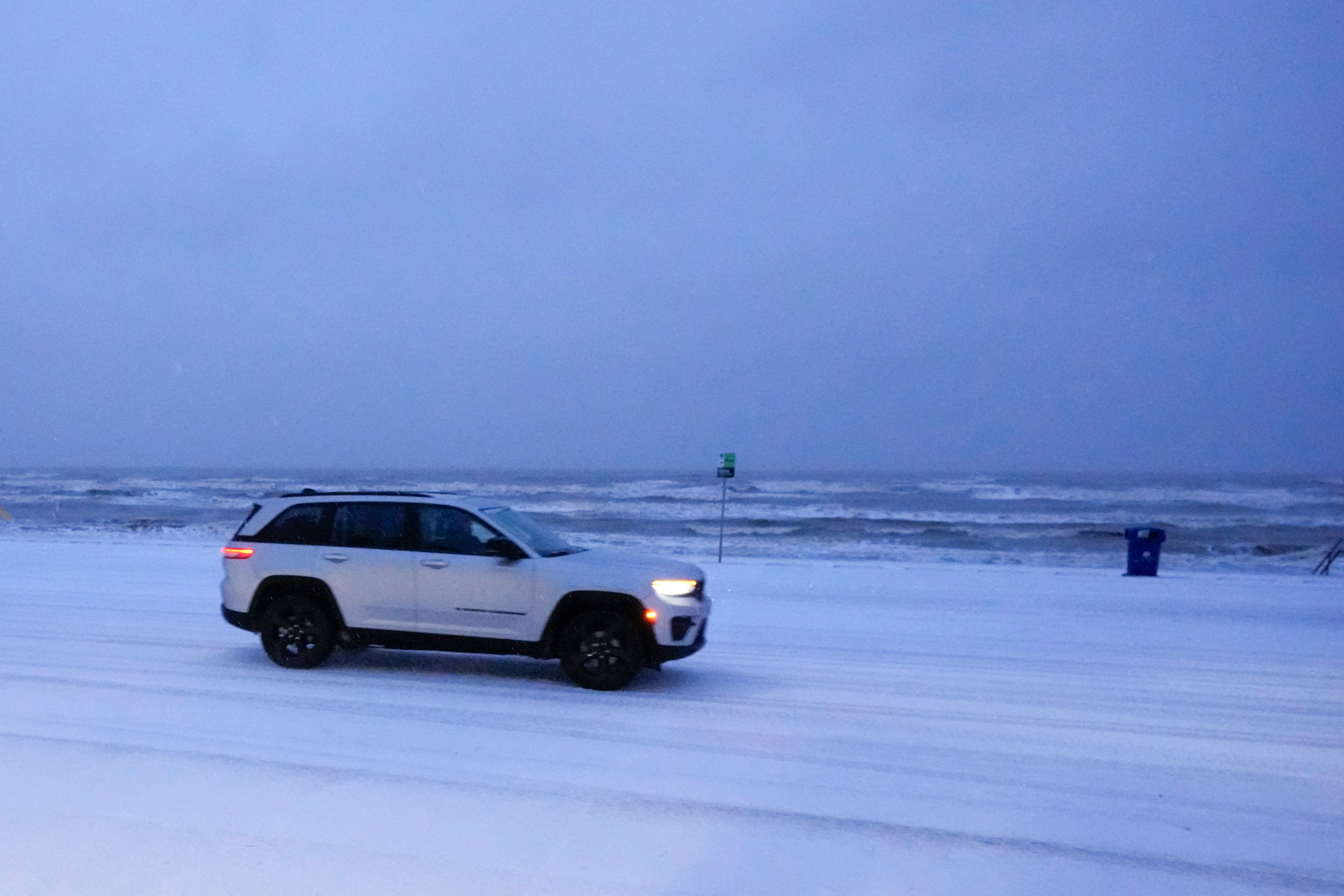
In the South and Southeast, an unprecedented blizzard warning was in effect from the upper Texas coast to part of the Louisiana coast.
Forecasters said snowfall rates of an inch an hour or more are possible from eastern Texas through the Florida Panhandle. Georgia Governor Brian Kemp declared a State of Emergency lasting through next week.
For parts of the western and northern Gulf Coast, this could be the biggest snow and ice storm in more than 100 years, according to AccuWeather.
“This will be a rare and especially dangerous winter storm right along the upper Gulf Coast that will result in major and lengthy disruptions to travel,” AccuWeather Chief Meteorologist Jonathan Porter said in a statement.
In New Orleans, this could be the biggest storm in a lifetime, and it’s expected to dump as many as 6 inches of snow across the southern part of the state on Tuesday.
The storm is expected to continue to disrupt air and ground travel, and more power outages are possible.
The East
To the east, New York’s brutal Arctic air would linger through much of the week.
The Orange County-based Montgomery Airport recorded a temperature of -11 degrees early Tuesday. Wind chills dipped as low as -5 to -15 degrees in the New York City area, according to Fox 5 New York.
Up the coast, a Cold Weather Advisory was also issued in New England and forecasters there said to expect light snow Tuesday night. As many as 2 inches could fall in coastal Nantucket, Martha’s Vineyard and outer Cape Cod.
“Temperatures are dropping, Boston! It’s important to clear snow from sidewalks, ramps, and entrances before it freezes to avoid dangerous conditions for pedestrians, students, and residents,” the City of Boston said on social media.
Philadelphia also experienced a frigid morning, with temperatures between 0 and 10 degrees, with some spots below zero. These conditions are expected through Wednesday.
“As the bitter cold continues today, a system sliding by well to our south and east may be close enough to produce some light snow this evening in parts of northeast Maryland, Delaware and southeastern New Jersey. If it does snow, any amounts would be light,” the Mount Holly National Weather Service said.
The Midwest
Significant lake-effect snow will continue for the next couple of days downwind of the Great Lakes.
Snow showers are expected in the northern Plains and Upper Midwest as a system drops south from Canada.
While temperatures across portions of the northern plains will return to more typical January temperatures by Tuesday afternoon, the Upper Midwest won’t see temperatures in the 20s and 30s until Wednesday.
“This cold snap is coming at the climatological peak of winter when historical average temperatures hit their lowest values in many parts of the country. Since this is the heart of winter, record-low temperatures are near their lowest values as well,” AccuWeather Senior Meteorologist Adam Douty said in a statement. “This may prevent widespread record-setting temperatures, but some record-low temperatures will likely be broken.”
AccuWeather warned that windy conditions will persist through the weekend, increasing the risk of cold-related illness like frostbite and hypothermia.
“In areas that experience windy conditions, like much of the Midwest early this week, AccuWeather RealFeel® Temperatures can reach minus 40 to minus 50. It will feel brutally cold, and anyone adventuring outside can get frostbite on exposed skin in just a matter of minutes,” noted Douty.
With reporting from The Associated Press