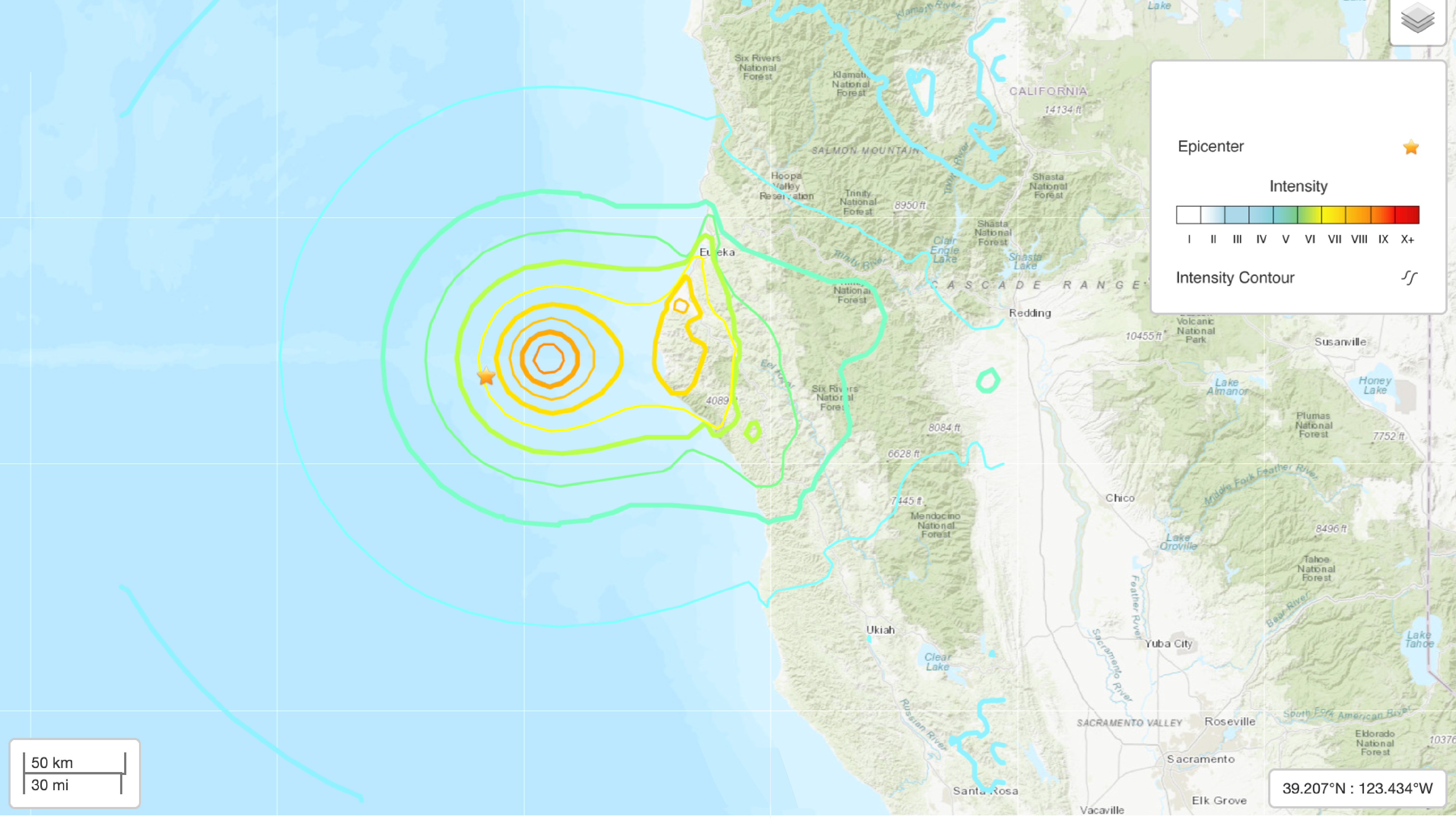
A magnitude 7 earthquake hit off the coast of northern California on Thursday (Dec. 5).
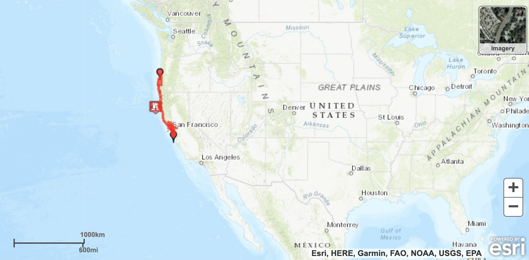
However, a tsunami warning that had initially been prompted by the earthquake has now been canceled, according to the U.S. Tsunami Warning System.
The earthquake hit at 10:44 a.m. PST (18:44 UTC) at a depth of about 0.4 mile (0.6 kilometers), according to the U.S. Geological Survey (USGS). The earthquake occurred off the coast, about 39 miles (63 km) northwest of the city of Petrolia in Humboldt County. It's likely that these numbers will be updated as the USGS gathers more information.
Related: The 20 largest recorded earthquakes in history

Currently, the USGS is reporting that the "landslides triggered by this earthquake are estimated to be limited in number." According to the USGS Shake Map, people reported feeling extreme shaking on the California coast by the earthquake.
Other small earthquakes, including a magnitude 4.2 and a magnitude 3.3, have also hit the area today. There are no immediate reports of damage, according to the Los Angeles Times.
Editor's note: This story was updated at 3:38 p.m. EST to note that the tsunami warning has been canceled.


