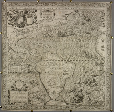
Photograph: The British Library
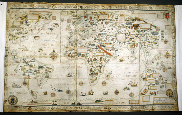
Photograph: The British Library

Photograph: The British Library
Photograph: The British Library
Photograph: The British Library
Photograph: The British Library
Photograph: The British Library
Photograph: The British Library
Photograph: The British Library
Photograph: The British Library
Photograph: The British Library
Photograph: The British Library
Photograph: The British Library
Photograph: The British Library
Photograph: The British Library
Photograph: The British Library

Photograph: The British Library
Photograph: The British Library