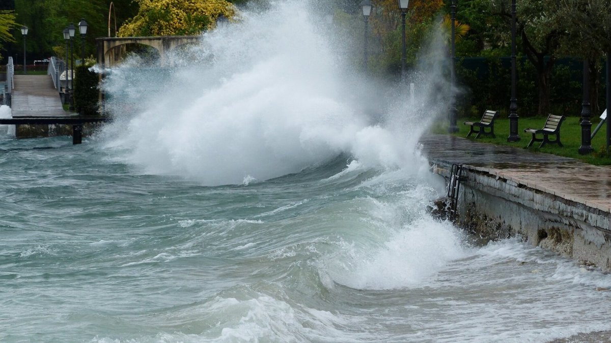
With all of South and Central Florida under a tornado watch through the evening of Oct. 9, Hurricane Milton is rapidly moving toward the mainland.
What remains unclear is exactly where the storm will hit.
That's something that Royal Caribbean Chief Meteorologist Craig Setzer has been watching.
Related: Royal Caribbean, Carnival, and Celebrity make hurricane changes
"Lots to discuss this morning, and what I'll be watching today," he wrote on X. "First, the heading of Milton has slowly turned left overnight. I mentioned this last night and here's where we stand at 8 a.m. [Wednesday].
"The storm is heading almost due NE, so any left wobbles today would obviously take it closer to Tampa (Bay). But as we get closer to landfall, the storm would have to turn more northward/left to go directly over Tampa Bay."
Setzer tried to explain what a "wobble" means.
"So today we'll be watching the wobbles and what contribution they have to this overall motion. It's important at this moment, to not get too focused on the "instant" heading, where the storm is pointing at any brief moment, but to see the bigger picture, and overall heading, and what any wobbles are doing to it," he added.
Setzer made clear that even with the storm moving closer to land, it's very hard to predict its path.
"Wobbles left clearly take it closer to Tampa, wobbles right take it closer to Fort Myers. It's likely the core will move somewhere in between or even over those two locations, but I've learned with hurricanes, never commit to one outcome (especially this far away from landfall) because hurricanes have a way of humbling even the best meteorologists," he wrote.
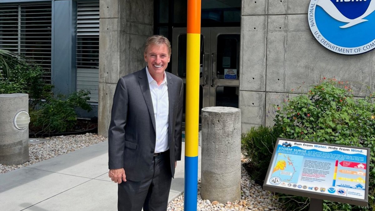
Image source: Craig Setzer
Royal Caribbean's chief meteorologist explains wind shear
There are some hopes that the storm will weaken from its current Category 4/5 state.
"You can see that wind shear is beginning to act on Milton. The eye has become cloud-filled and the center is now becoming displaced on the northwest side of the main convection," he wrote.
Related: Get the best cruise tips, deals, and news on the ships from our expert cruiser
Some see that as a positive sign.
"This process was well [forecast; however,] will it happen soon enough to substantially weaken Milton before landfall? Probably not because the core is very deep in the atmosphere and will maintain some internal structure and momentum, even if much of the convection gets stripped away," he added.
It might weaken, but that's not how Setzer sees it.
"That means, all the folks looking at radar and satellite proclaiming it's weakening will probably be jumping the gun," he said. "All that cat 5 energy is not going to just disappear. It will still be felt, just not as concentrated over a small intense area. So as this weakening starts, the wind field will quickly expand."
Are you taking a cruise or thinking about taking one? Visit our Come Cruise With Me website to have all your questions answered.