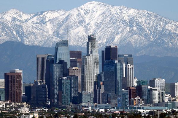
A cold low pressure system spinning off the coast of California sent bands of rain and snow across the state Wednesday, making travel difficult and adding to an epic mountain snowpack.
Forecasters said the storm was not as strong as the systems that pounded the state all winter, but that chains were required for vehicles on highways through the Sierra Nevada. A section of U.S. 395 on the eastern side of the range was closed due to snowfall.
The Mammoth Mountain ski resort in the Eastern Sierra declared its snowiest season on record after 28 inches (70 centimeters) of snow since Tuesday afternoon pushed season snowfall totals to 695 inches (17.6 meters) at its main lodge and 870 inches (22.1 meters) at the summit of the 11,053-foot (3,369-meter) peak.
“It's deep out there,” the resort wrote on its website.
Storm impacts were more modest in Southern California, where precipitation was expected to decrease through the day. But forecasters cautioned that there could be evening thunderstorms as the very cold low pressure system moved down the coast.
California was three years into a drought, with dwindling reservoirs and parched landscapes, until an unexpected series of powerful storms began in late December and continued into spring. While causing widespread damage that forced the declaration of emergencies in dozens of counties, the storms also have raised reservoir levels and built an extraordinary Sierra snowpack, a significant source of California's water.
As of Tuesday, the water content of the snowpack was 228% of the April 1 average, a benchmark for its historical peak, according to the state Department of Water Resources.
The turnabout has allowed a rollback of some water use restrictions, although Gov. Gavin Newsom has been careful to not declare the drought over.
California is expected to get additional precipitation by Saturday in the north and by Monday in the south. Forecasters said the system will be weaker than the current storm.


