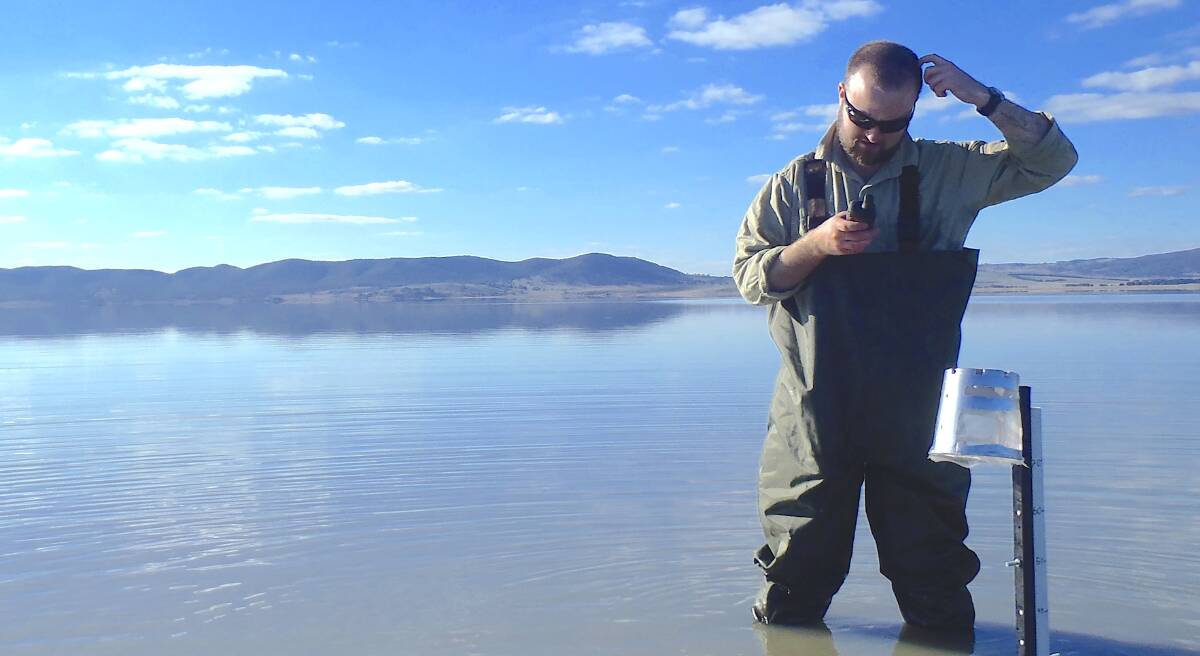
As more Canberrans drive past a filling Lake George, I'm receiving an increasing number of questions about just how much water is currently in the lake. "Is it full yet, it must be close?" is the most common question.
Just "how full" the lake is, isn't easy to answer because Lake George is an endorheic lake which means it has no evident outlets. It's a bit like asking how long is a piece of string.
However, according to Michael Short, lead author of a Two Centuries of water-level records at Lake George, NSW (Australian Journal of Earth Sciences, September 2020), one way to gauge just how full the lake is, is to compare it to past levels. But even that is tricky.
"The first reference to compare current levels to is the greatest height since the satellite era (1987 to now), which was about 2.6m in September 1990," explains Short. Using this method, the lake currently sits at about 1.8m so is about two-thirds full.
"On a volume basis, the current volume is about 150GL, and compares to about 270GL in 1990," he says, adding "so it's currently a little over half-full by volume."
The second reference period for a "full lake" is the highest level in the last century, which was about 4.6m (580GL) in 1956 and makes today's level a little less than half by height and about a quarter by volume.
A third possible reference point is the highest recorded level of a whopping 7.4m (680GL), which was in 1874, reveals Short. "In comparison, today's level is about a quarter by height and about a fifth by volume."
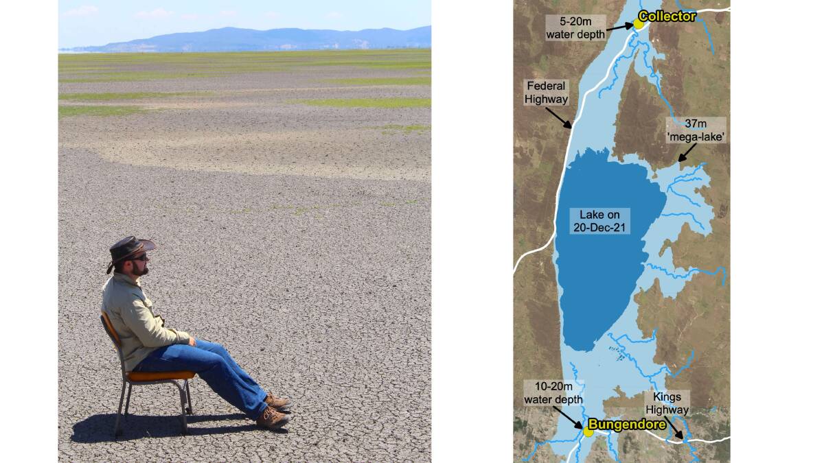
And then of course there is the highest possible theoretical level of about 37m (8000GL), above which it is thought that the lake would overflow through Gearys Gap (that's where the Weereewaa lookout is) and into the Yass River.
"Today's level is about a 20th by height and a 50th by volume," Short says. If you are thinking that's a lot of water, you'd be right. Such a 37m deep "mega-lake" would cause both Collector and Bungendore to be inundated, with parts of the towns under between 5-20 metres of water.
But given the current climate in the area, Short thinks "the best comparison would be to the highest level of the satellite era because it is still within the same 30-year climate period".
"However, it'd be amazing to see the rain continue, and the lake reach heights not seen in over a century," he exclaims. Hear hear!
- Note: heights of the lake are all referenced to the lowest point (672.8mAHD), which is at the southeast of the lake.
This article was first published as part of Tim the Yowie Man's weekly column, The stone port in a storm.