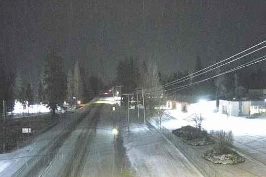
A major ice storm is aimed at the Midwest and Northeast U.S. this week, bringing snow, sleet, and freezing rain through Thursday.
The extreme weather is expected to result in dangerous travel conditions and power outages from Minnesota to Maine, according to forecasting company AccuWeather.
"The potential exists for dangerous amounts of ice accretion into Thursday," said AccuWeather Meteorologist Brandon Buckingham. "This poses a risk for tree damage and power outages as the storm moves through."
As snow falls in the Pacific Northwest on Wednesday morning, several inches are forecast across the upper Midwest, the interior Northeast, and parts of New England.
Up to three inches of snow is expected throughout the Midwest and Great Lakes regions through Wednesday night. Greater amounts of up to six inches could fall in higher elevations in affected regions.
This comes as the Ohio Valley and Mid-Atlantic regions may see ice accumulations up to a quarter of an inch.
“Scattered power outages and tree damage will be possible from the weight of the ice,” the National Weather Service said.
A winter weather advisory was issued in Ohio through Thursday for freezing rain. Conditions were already causing accidents in Kansas.
Power outages were already reported in Pennsylvania, which was under an ice storm warning on Wednesday.
Gusts of up to 50 mph are expected to strike the Great Lakes on Thursday. Wind gusts over 30 mph are also possible across the Interstate 95 corridor of the Northeast on Friday.
Meanwhile, over the central states, severe thunderstorms were anticipated to bring the threats of hail and damaging wind gusts over 50 mph.

The storm will signal the start of what AccuWeather says could be one of the stormiest periods of the winter from the Plains to the East Coast this month.
The company noted that a third storm may come early next week, with “the potential of colder air and more moisture that could bring snow and icy impacts to a larger area.”
"We are monitoring three potential storms between Feb. 5-11," said AccuWeather Lead Long-Range Forecaster Paul Pastelok last month. "This will be a busy pattern with potential disruptions to travel and business."