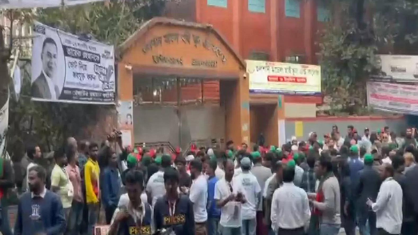
This week the heavy rainfall in the IT hub continued to cause traffic snarls, leaving vehicles and houses partially inundated.
The city witnessed record-highest rainfall in past 51 years, but a mere 5-10 cm of heavy downpour is enough to have the drain brimming in Bengaluru. One of the prime reasons behind the Bengaluru flood is the encroachment of drains and wetlands. The Bengaluru Bruhat Mahanagara Palike (BBMP) has identified over 500 encroachments and Commissioner Tushar Girinath said they will clear them in the next two months. BBMP said Bellandur Lake resulted in the deluge. Karnataka Chief Minister Basavaraj Bommai had held officials responsible for the deluge and warned that an inquiry would be taken up against officials who cleared licences and NOCs for buildings on drains, lakes, and in buffer zones.
According to a report by India Spend, this year the Bengaluru civic body resumed the construction of a road within the buffer zone of the Pattandur Agrahara Lake near Whitefield. Multiple groups--including citizens groups and eight government agencies--manage Bengaluru's lakes.
Multiple groups--including citizens groups and eight government agencies--manage Bengaluru's lakes.
In a crowdsourcing initiative, by the Centre for Social and Environmental Innovation (CSEI) at ATREE, a research institute as many as 1,350 lakes are spread across Bengaluru.
Lakes in Bengaluru were originally built for irrigation and drinking water purposes. As a result, they were governed by local communities who used them as a common pool resource. But, over the years, the lakes have come to be managed by government agencies, India Spend reported.
Since then, encroachment report on lakes has gradually increased. In a report by Citizen Matters, a resident of Rainbow Drive, a layout on Sarjapur Road passed away as he could not go to the hospital in time. Rainbow Drive is spread over 35 acres, developed some 25 years ago on what were once paddy fields. It is located in a valley area, connecting the lakes of Halanayakanahalli and Junnasandra downstream to Saul Kere.
How layouts over lakes lead to flooding
Before layouts, the water used to flow in "sheets" into the lakes and out of lakes after heavy rain. But now the lakes are surrounded by bunds which prevent sheet flow and cause water logging on their sides.
What is the solution?
A recent study by the Karnataka State Natural Disaster Monitoring Centre (KSNDMC) has found that Bengaluru’s rainfall patterns have been changing and it is an indicator of climate change. Data said that the annual rainfall has been increasing steadily over the past few decades.
According to experts, Bengaluru will need to rework its building design and stormwater design codes to deal with the increased rainfall.