Forecasters have released an outlook for the upcoming Atlantic hurricane season that begins in earnest over the summer, saying the U.S. could see between three and six direct impacts from storms.
The “dynamic and potentially volatile” season will have “several similarities to last year’s historic and destructive season,” according to AccuWeather, which published its forecast Wednesday.
“We expect fewer named storms this year compared to last year. The total number of storms is not truly what defines a hurricane season; it is the impacts to land and populated areas. It only takes one landfall to create a devastating season,” AccuWeather Chief Meteorologist Jonathan Porter said.
Between seven and 10 of the as many as 18 named storms are predicted during the season that typically runs between June and November. Only as many as five would become major hurricanes – defined as a Category 3 hurricane with maximum sustained wind speeds between 111 and 129 mph, according to the forecast.
Some places are at a higher-than-average risk of direct impacts. Those identified include Texas, Louisiana, North Carolina, and the western coast of Florida.
People in areas far from the Atlantic and Gulf coasts should prepare for potential tropical impacts, the outlook noted.
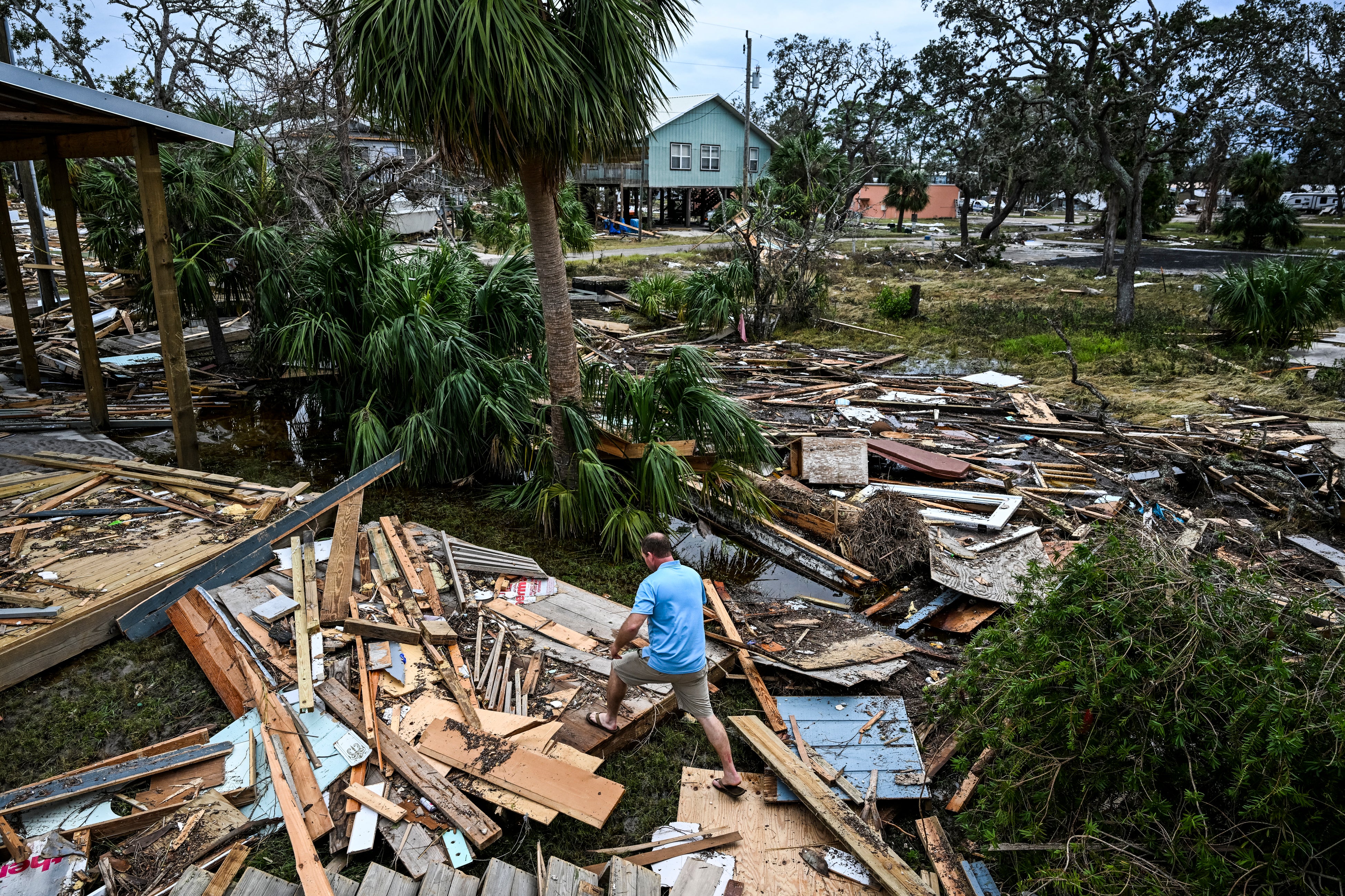
"Similar to last year, northern and eastern portions of the Gulf Coast and the Carolinas are at a higher-than-average risk of direct impacts this season," AccuWeather Lead Hurricane Expert Alex DaSilva explained. "Atlantic Canada and the northeastern Caribbean are also at an increased risk of direct impacts."
Last year, five hurricanes and one unnamed subtropical storm made landfall in the U.S., with an economic loss estimated at $500 billion.
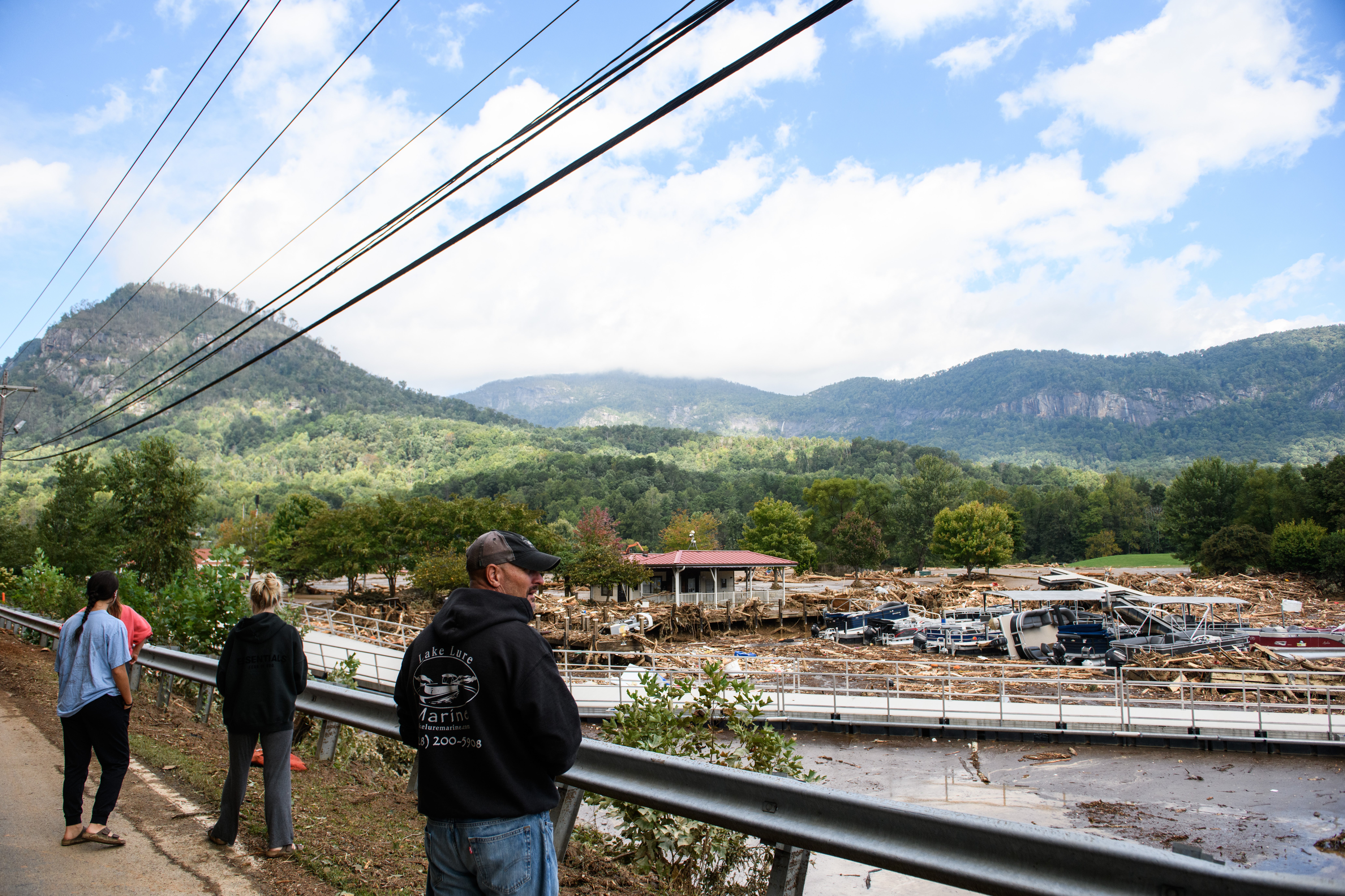
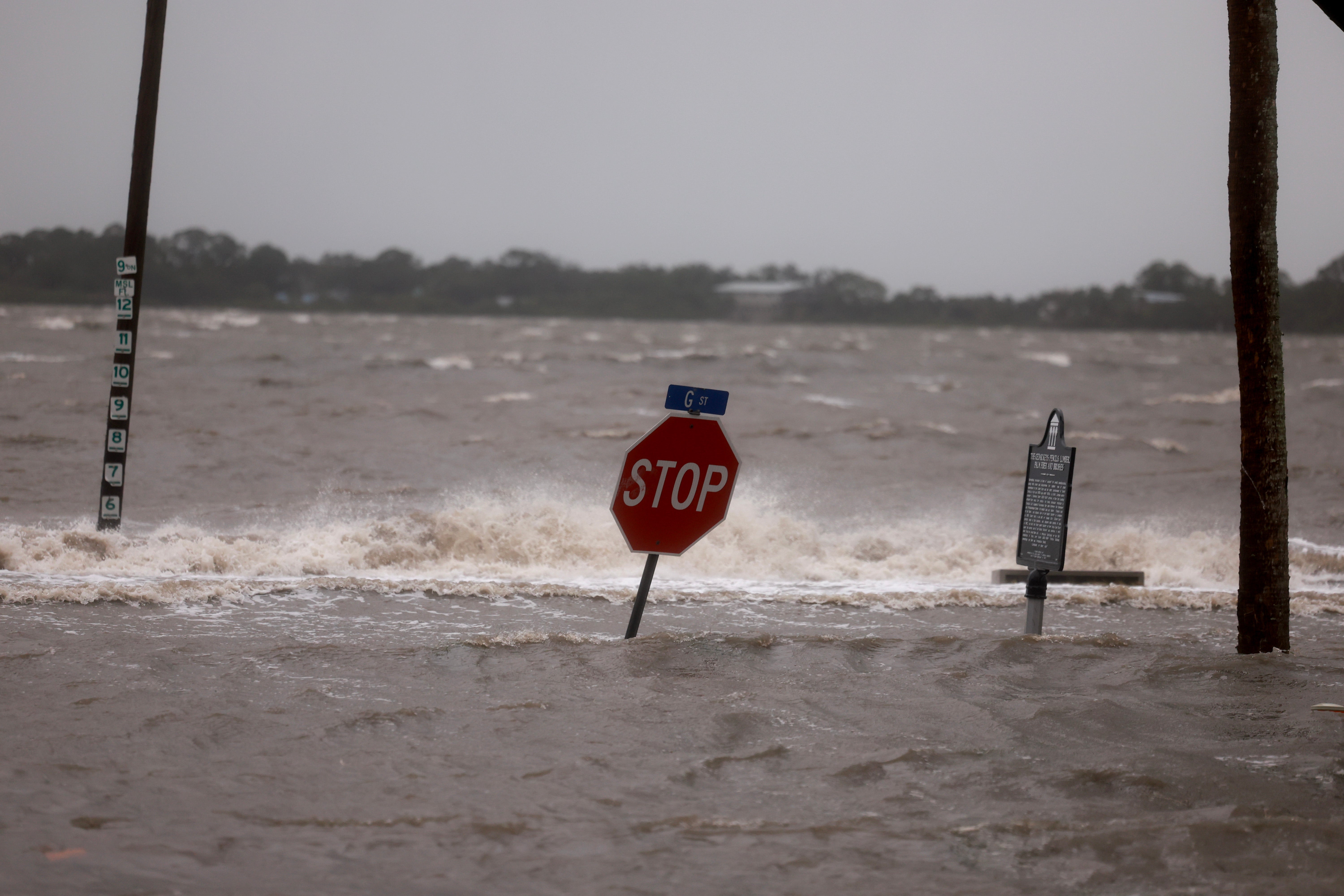
The one-two punch of Hurricanes Milton and Helene left Florida battered and filled North Carolina communities with intense flooding and mud. Helene alone was both directly and indirectly responsible for 249 fatalities in the U.S., according to the National Oceanic and Atmospheric Administration.
AccuWeather says early tropical development is possible in May thanks to exceptionally warm Atlantic waters. The National Hurricane Center was already watching a disturbance earlier this month. Temperatures are currently well above historical average levels, which can add fuel to the storms.
The threat of storms rapidly intensifying before they make landfall is once again a “major concern.” Climate change has also been found to make hurricanes faster.
“In just the past five years, we’ve seen water temperatures in the Atlantic, Caribbean and the Gulf warm to levels never seen before in recorded history. That extra energy can supercharge tropical storms and hurricanes,” Anderson said. “Storms that rapidly intensify near the coast can leave people with less time to prepare and react before landfall. Rapidly intensifying storms can also complicate efforts to order evacuations, setup emergency shelters, and order contraflow along evacuation routes.”
AccuWeather also noted that water temperatures can result in climate patterns with far-reaching effects. While neither the La Niña or El Niño are expected to be present during the first half of the season, that could change by the fall months. La Niña – the cooler phase of the El Niño Southern Oscillation climate phenomenon, which has the ability to alter the movement of air around the globe – can lead to a more severe Atlantic hurricane season.
"A trend toward a La Niña could yield an active end to the season, while a trend toward El Niño could lead to an earlier end to the season," DaSilva explained.

