Severe storms continue to lash Australia's east coast, triggering flash floods, emergency rescues and hazardous conditions from central Queensland to Tasmania.
Queensland's southeast bore the brunt of the deluge on Saturday, with more than 150mm of rainfall in some areas.
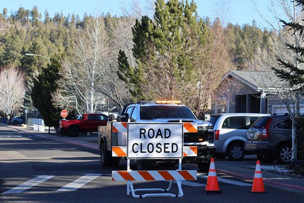
The South Burnett area was particularly hard hit, with more than 40 roads closed and multiple vehicles stranded in floodwaters.
Emergency services rescued several people from trapped cars, prompting fresh warnings about entering floodwaters.
Authorities have advised residents to avoid non-essential travel as rain persists.
A severe thunderstorm alert remains in place for much of Queensland, with the Bureau of Meteorology warning of damaging winds, heavy rainfall, and the possibility of large hailstones.
The Lower Brisbane River was under flood watch as levels continued to rise.

Victoria and Tasmania are also experiencing severe weather conditions.
A severe thunderstorm warning has been issued for parts of Victoria's west and South Gippsland and central forecast districts including Warragul and Moe.
The storms are expected to bring heavy rainfall that could lead to flash flooding.
A heatwave warning has been in place across Tasmania, with the potential for heavy rain on Sunday.
Widespread storm activity brought dangerous conditions to roads across the eastern states on Saturday afternoon.
Further rainfall is predicted for Sunday afternoon, potentially outpacing Saturday's totals.

"Sunday could be an even more active day," the Bureau of Meteorology's Angus Hines said.
Central parts of Queensland, high terrain in NSW and Victoria, and the northeast of Tasmania are forecast to record high rainfall totals.
"Northeastern Tasmania is an area of the country that doesn't get really heavy rain, at least not very often," Mr Hines said.
"So if there are heavy falls - 50 to 100mm - that could see a sharp response for flash and riverine flooding."
Mr Hines said southeast Queensland and northern NSW could receive more than 150mm of rain across the weekend.


