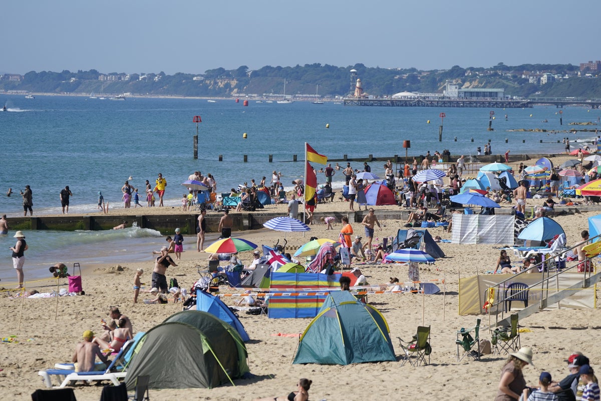
The UK could see the hottest day of the year this week as temperatures are set to rocket to 32C.
Forecasters are predicting a final “dose of summer” with the mercury expected to rise to 30C on Tuesday, with the highest temperatures expected in Oxfordshire, Gloucestershire and the Bristol Channel.
But parts of the country are set to swelter further on Wednesday and Thursday with highs of 32C in Berkshire and southern areas of the Midlands.
Forecasters are predicting a final “dose of summer” as the mercury is set to reach 30C— (PA)
Southern England and Wales are predicted to reach 29C on Monday and 28C, however, Scotland and Northern Ireland’s averages will remain slightly chillier at 25C and 23C respectively.
The mid-week highs could see the record for the hottest day of the year broken after Coningsby in Lincolnshire experienced the joint hottest day of the year on 25 June, at a scorching 32.2C - matching an earlier record set on 10 June in Chertsey in Surrey.
Met Office meteorologist Jonathan Vautrey described the predictions as a “late dose of summer”, but urged that “not everyone might be able to make the most of it with school activities” as pupils return to classrooms this week.
Mr Vautrey also warned of the health risks of hot weather to the vulnerable, stressing that the temperatures will be 10C above the average for September. He urged people to stay hydrated and use sunscreen, with UV levels being moderate to high.
"It does bring health risks to people who are vulnerable," he added.
The September sunshine marks a welcome break from a disappointing few months, as July marked the UK’s sixth wettest on record and the wettest in Northern Ireland’s history. The UK averaged 140.1mm of rain across the month.
Areas in England also set new rainfall records, including Greater Manchester, Lancashire and Merseyside, which all experienced their wettest July since records began in 1836.
Met Office UK 5-day weather forecast:
Sunday evening: Remaining breezy with patchy light rain in the far north. Elsewhere it will stay dry and settled. There will be clear periods, with areas of low cloud and fog reforming.
Monday: Cloudy with patchy rain in the far north. Otherwise a fine day with early low clouds and fog clearing to leave plenty of very warm or hot sunshine.
Tuesday-Thursday: Mostly dry with very warm or hot sunshine. However, patches of low cloud and fog overnight. Some drizzle in the far north, and showers are possible later, mainly in the west.


