Google Maps is getting a big boost to its impressive Immersive View Mode to help you plan routes and trips using its bird's-eye view.
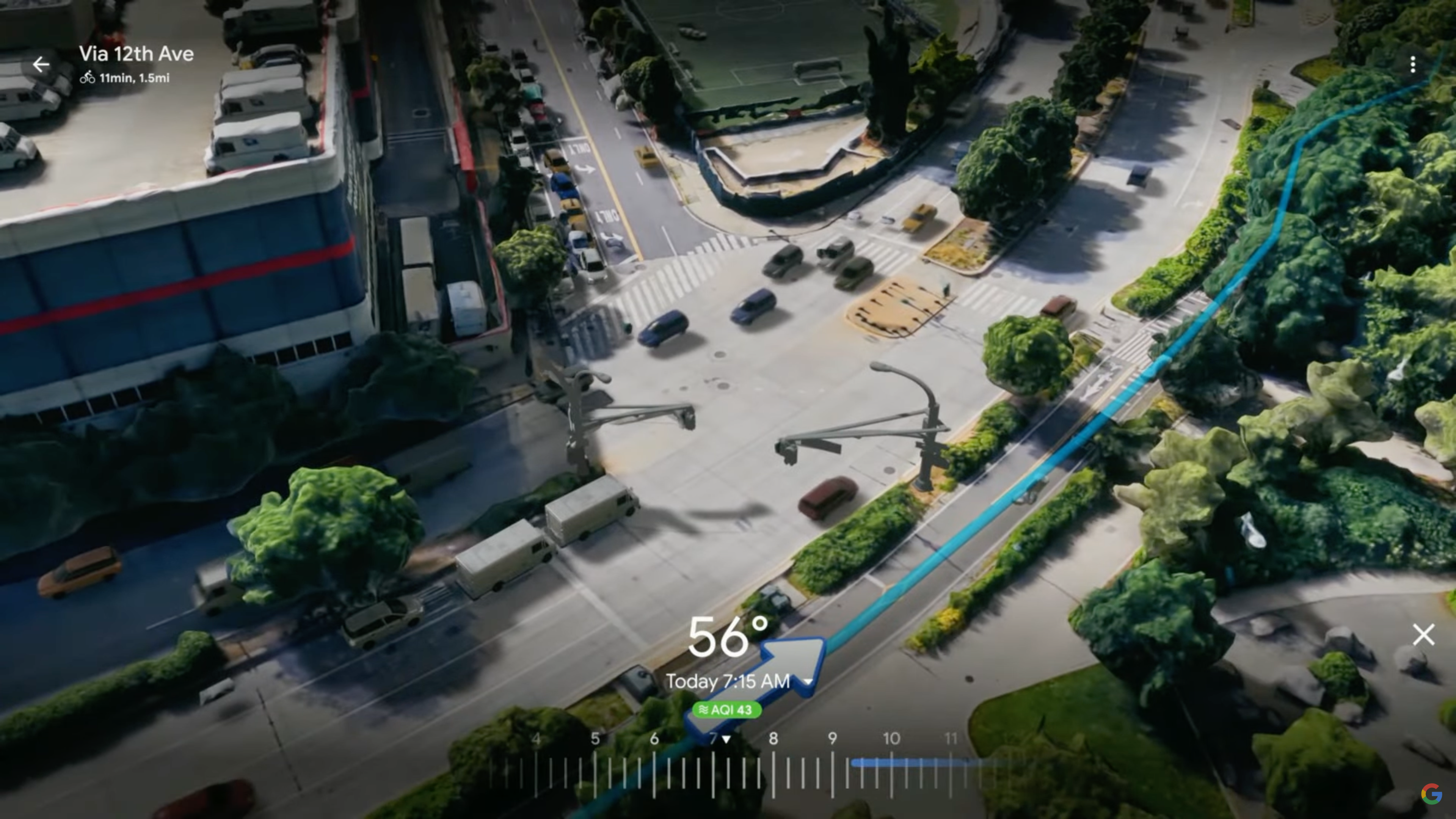
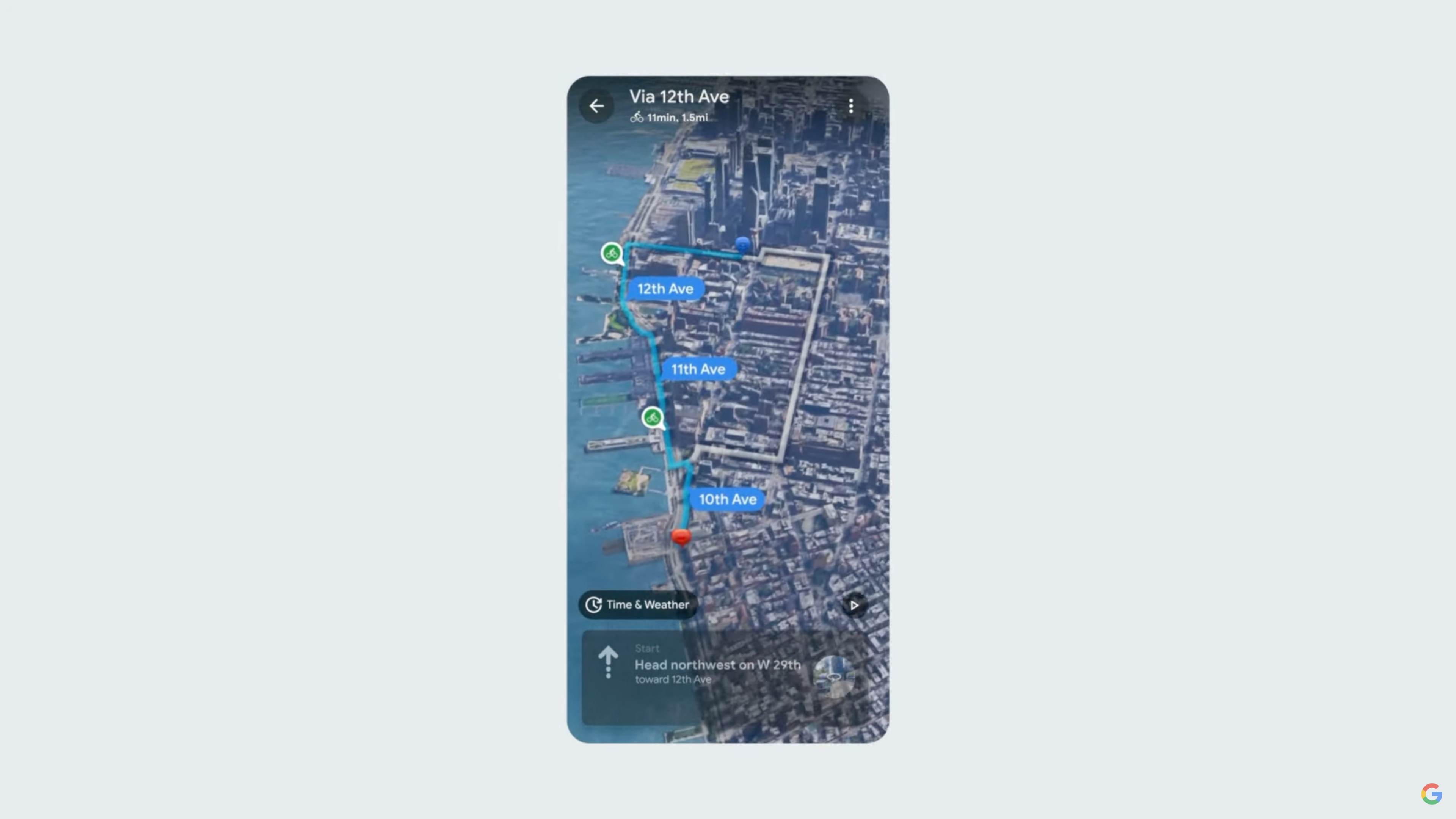
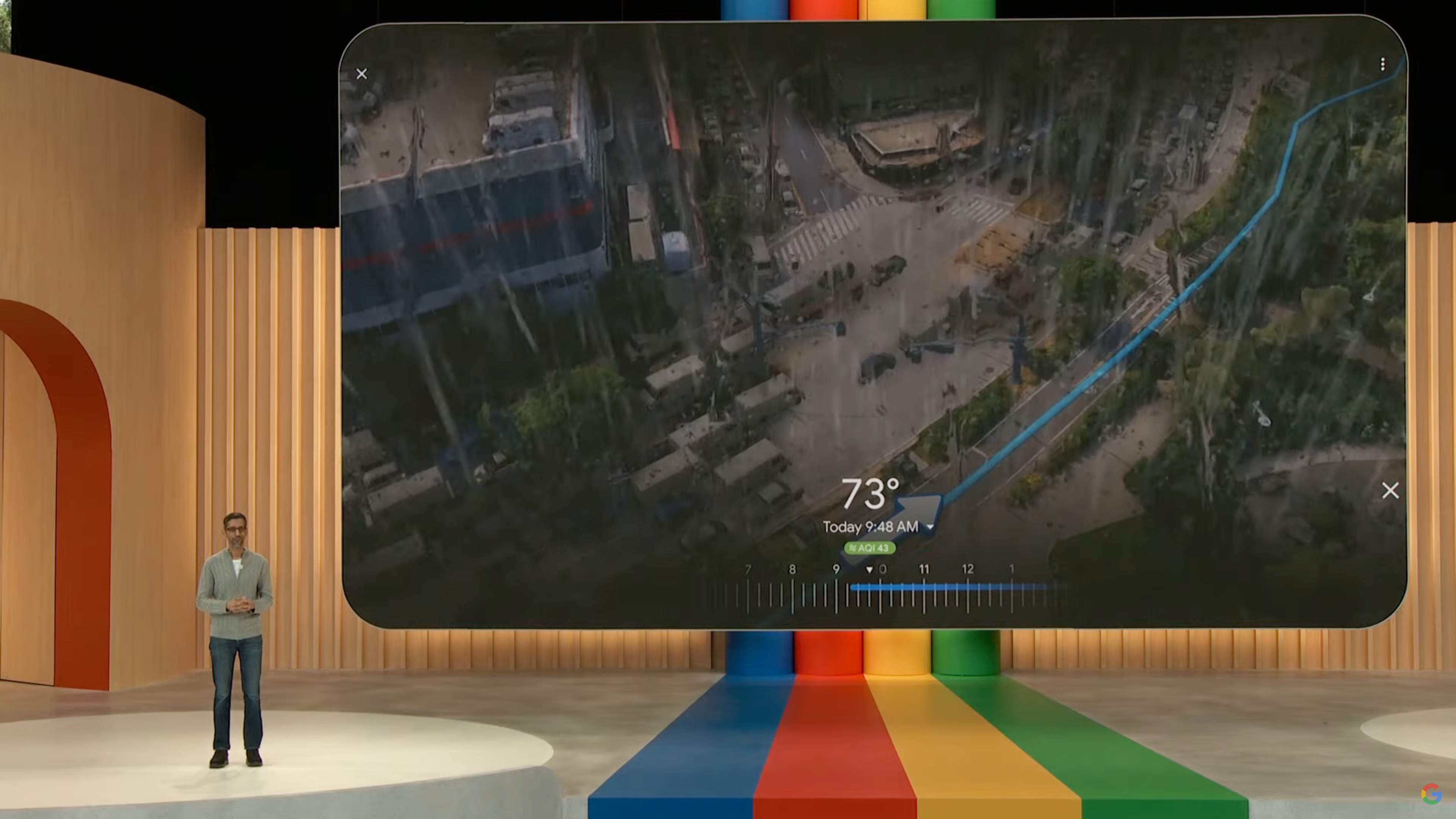
Announced at Google I/O 2023, which you can follow at our Google I/O 2023 liveblog, Google Maps Immersive View for routes will bring you a 3D view of your planned journey – for example, a bike ride or drive. This will give you a clearer real-world view of the neighborhoods you're going through, plus other information like traffic, air quality, temperature and more.
This all sounds a lot more useful than Google Maps' traditional overhead view, and could also be a very helpful tool for planning photography trips. But given that many of us are still waiting for the first version of Immersive View to roll out, it may be a while before you can start using it to plan trips.

Google says it will begin rolling the feature out for a few cities this summer (in other words, between now and August), and will eventually cover 15 cities "by the end of the year". These will include Los Angeles, New York, Miami, London, San Francisco, Las Vegas, Tokyo, Seattle, and Venice.
We've previously called Google Maps Immersive View a "next-gen Street View". That's because it uses a combination of Street View and aerial imagery to give you digital recreations of cities in Google Maps, complete with real-time information.

The fact that this is all coming to route planning, rather than just tourist attractions in major cities, is great news, and should make piecing together journey plans a lot more intuitive.
Combine this with Indoor Live View, a separate feature that displays AR arrows over your real-world view, and Maps will soon become an even bigger essential for tourists and the perennially lost.
But Apple Maps is also becoming a stronger rival thanks to features like Flyover view, and we'll want to see Immersive View roll out much quicker than it has done so far before declaring a Street View-sized success.


