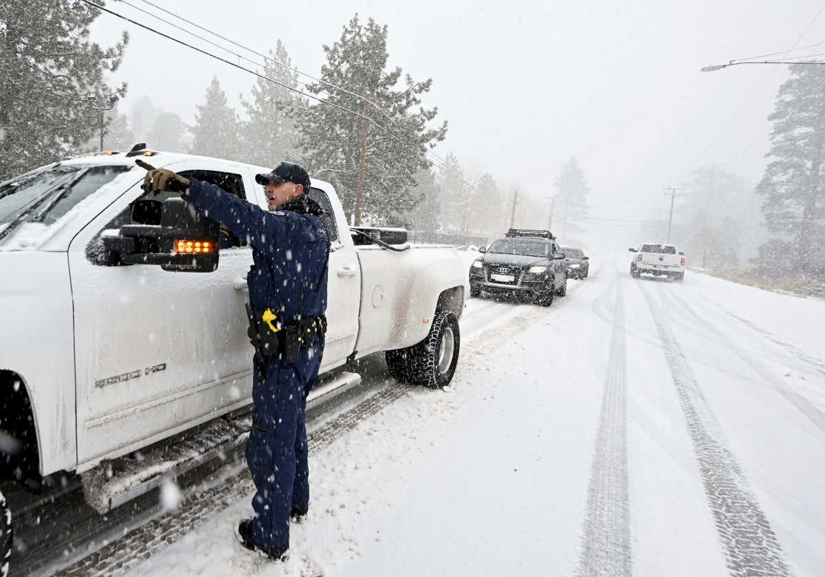
Much of the central United States from the Rocky Mountains to the Midwest was braced Tuesday for blizzard-like conditions, while states farther to the south were warned of the risk of flash flooding and tornadoes from a massive storm blowing across the country.
An area stretching from Montana into western Nebraska and Colorado was under blizzard warnings, and the National Weather Service said that as much as 2 feet (61 centimeters) of snow was possible in some areas of western South Dakota and northwestern Nebraska. Meanwhile, ice and sleet were expected in the eastern Great Plains.
The National Weather Service warned that up to about half an inch (2.5 centimeters) of ice could form and winds could gust up to 45 miles per hour (72 kilometers per hour) in parts of Iowa, Minnesota and South Dakota. Power outages, tree damage, falling branches and hazardous travel conditions all threatened the region.
“This is a ‘we are not kidding’ kind of storm,” the South Dakota Department of Public Safety said Monday in a tweet urging people to stock up on essentials, then stay home once the storm hits.
Portions of Interstate 90 and Interstate 29 through South Dakota were expected to be closed by mid-morning Tuesday due to “freezing rain, substantial snow totals, low visibility, drifting snow and high winds,” the state's Department of Transportation said. Secondary highways will likely become “impassable,” it said.
Those farther south in Texas and Louisiana could get heavy rains with flash flooding, hail and tornadoes by Tuesday, the National Weather Service said. The storm was forecast to continue southeast into Florida later in the week.
“It will be a busy week while this system moves across the country,” said Marc Chenard, a meteorologist at the National Weather Service’s headquarters in College Park, Maryland.
The weather is part of the same system that dumped heavy snow in the Sierra Nevada over the weekend before moving east.
In northern Utah, a tour bus crashed Monday morning as snow and frigid temperatures blanketed the region. The bus flipped onto its side in Tremonton after the driver lost control while switching lanes, the state's Highway Patrol said in a statement. The Highway Patrol said 23 passengers were injured, including some seriously.
Thousands of students from Native American communities across Wyoming, Nebraska and the Dakotas were traveling to Rapid City, South Dakota, for this week's Lakota Nation Invitational, a high school athletic event. Brian Brewer, one of the organizers, said he had urged schools and participants to travel early.
“We told them with this storm coming — if you leave tomorrow, there’s a good chance you might not make it,” he said Monday.
In Northern California, most mountain highways had reopened Monday. Remaining warnings in the Southern California mountains were expected to expire late Monday night, the National Weather Service said.
With winter still more than a week away, it was the latest fall storm to bring significant precipitation to California, which is dealing with the impacts of years of drought that have spurred calls for water conservation.
The UC Berkeley Central Sierra Snow Lab northwest of Lake Tahoe reported that the storm dropped 54.5 inches (138.5 centimeters) of snow.
The Sierra snowpack, which on average is at its peak on April 1, is normally a significant source of water when it melts in the spring. Throughout the drought experts have cautioned about optimism over early season storms as climate change makes what were once average conditions rare.
Last year, a powerful atmospheric river dumped huge amounts of rain on California in October and a wet stretch in December left parts of the Sierra Nevada buried in snow. Then the state experienced its driest January through April on record.


