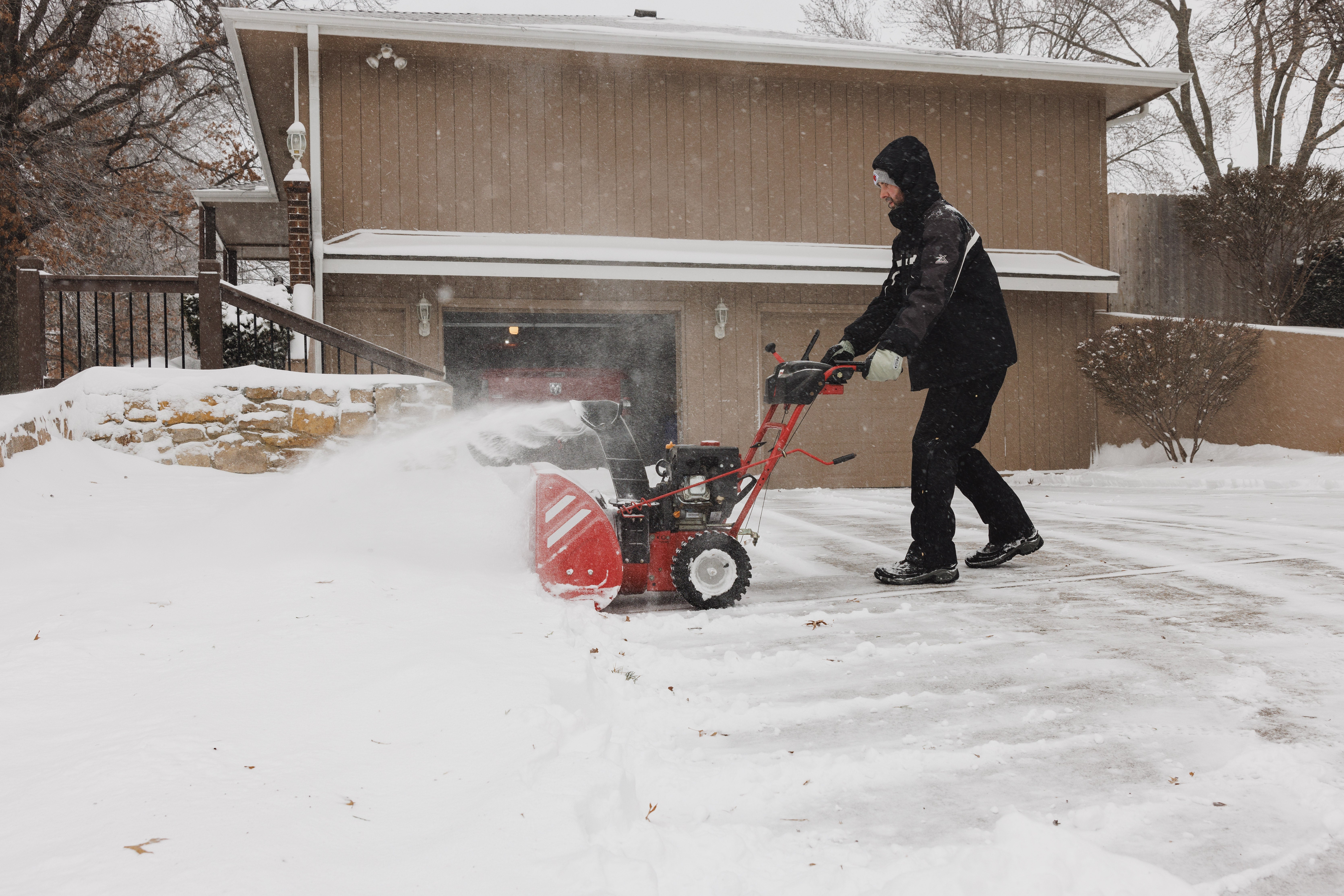
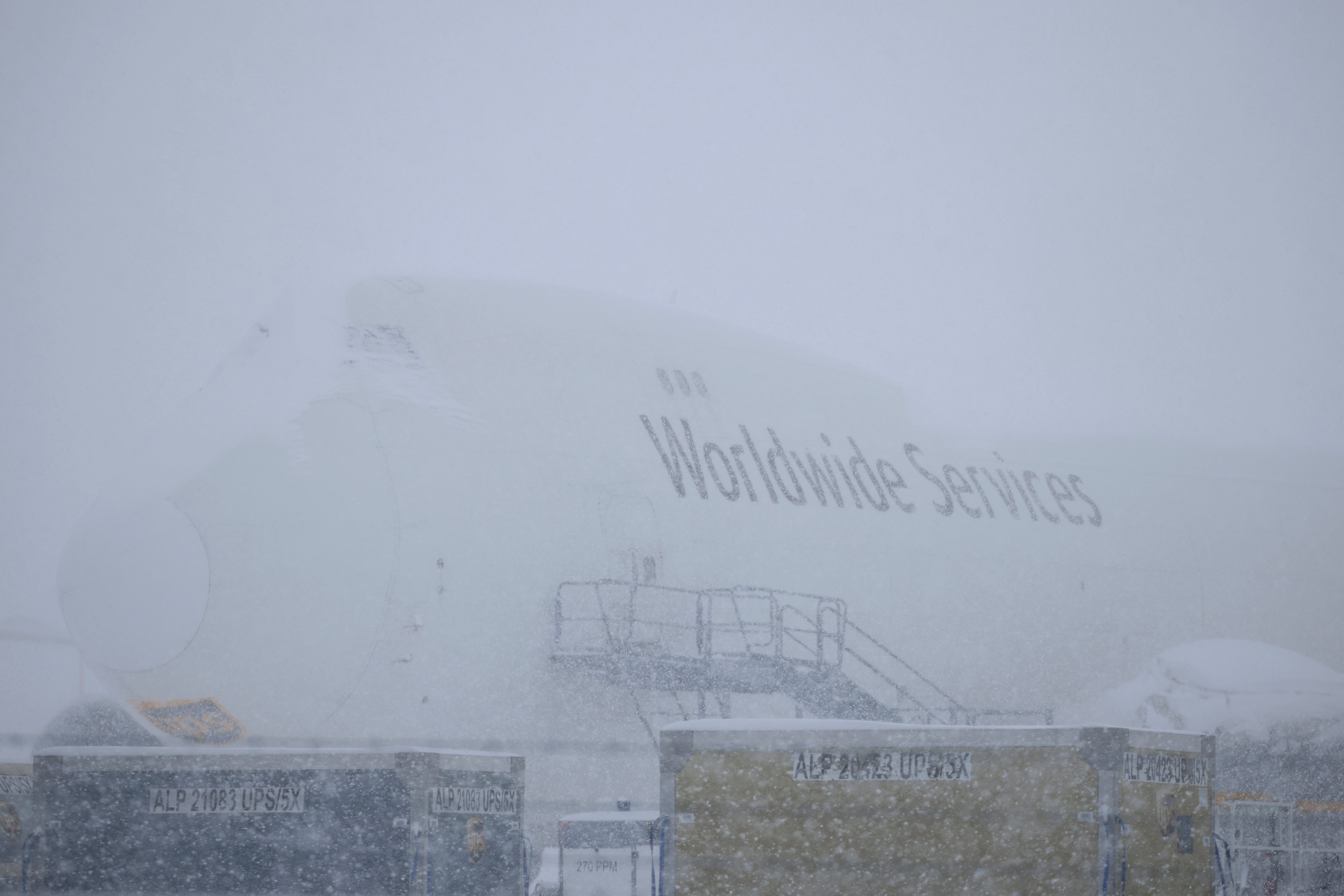
Nearly 70 million people will face harsh winter conditions as snow, ice and strong winds are expected to slam the middle of the country throughout the weekend and the start of the week.
A low-pressure storm is expected to move across the country from the Central Plains to the Northeast with “widespread heavy snow and damaging ice accumulations,” according to the National Weather Service. Much of the Central Plains and Ohio River Valley are already seeing snow, as the East Coast braces for the storm to arrive early Monday.
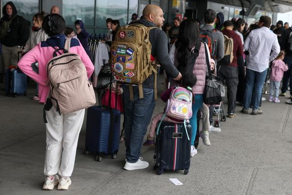
Hundreds of flights have been canceled at Midwest airports, including Chicago O’Hare International Airport, according to FlightAware. Officials in several states are urging residents to keep off roads due to snow and ice.
“For some, this could be the heaviest snowfall in over a decade,” the NOAA’s Weather Prediction Center said in a statement.
Millions of people across 30 states will be under winter weather alerts through Monday as the storm rages across the country, according to NBC News. Cities such as St. Louis, Washington, D.C., and New York City could feel the impacts of the storm.
“Winter returned,” declared Bob Oravec, lead forecaster at the National Weather Service in College Park, Maryland.
The storm started in the Midwest late Saturday before traveling to the Ohio Valley on Sunday. It will move into the Mid-Atlantic Sunday night into Monday, the agency forecasted.
Significant snowfall — ranging from 6 to 12 inches — is expected in regions north of Interstate 70, including St. Louis. Northeastern Kansas and north-central Missouri could see more than 15 inches — the heaviest snowfall in the region in a decade, according to the agency.

The Central Plains saw blizzard conditions, with heavy wind gusts exceeding 35 mph and heavy snowfall by Sunday morning.
Experts are warning against traveling in the harsh weather, especially as snow and ice coat the roads and airports cancel flights.
“Whiteout conditions will make driving dangerous to impossible, and raise the risk of becoming stranded,” the National Weather Service warned.
Freezing rain and “hazardous sleet” are expected to slam parts of Kansas, the Ozarks and the Ohio Valley. Some areas could be hit with over a quarter of an inch of ice, increasing the risk of power outages.

“Some places will have snow and ice then switch back to snow. That’s a bad combination. Heavy snow and ice accretion can bring down tree limbs and power lines,” AccuWeather Senior Director of Forecasting Operations Dan DePodwin said.
The storm is expected to head east as the work week starts. Areas near Washington, D.C., and Baltimore are set to see snow from Sunday night into Monday. Many areas near the Capital are expected to see up to eight inches of snow, and it could total up to a foot in higher elevations.
Washington, D.C. Mayor Muriel Bowser declared a snow emergency Sunday afternoon ahead of the storm blowing through the nation’s capital.
Parts of Philadelphia could see up to six inches of snow, while New York City could see a coating of up to two inches on Monday, forecasters said.
Freezing air from the Arctic will also hit the eastern two-thirds of the US, the Associated Press reports, bringing strong and frigid wind chills to millions of people.
“The wind chills are going to be brutal,” Woodwell Climate Research Institute climate scientist Jennifer Francis told the outlet.
This wind could make for the coldest January in the country since 2011, Accuweather Director of Forecast Operations Dan DePodwin said.
Severe thunderstorms are also barreling through the Mid-South, which prompted tornado watches in areas of Arkansas, Louisiana and Texas Sunday afternoon.
Even after the storm passes, it’s going to be cold for a while, AccuWeather predicted. Temperatures in the central and eastern U.S. are expected to stay below freezing — between 12 and 25 degrees — through January 12.
With additional reporting from the Associated Press


