Your support helps us to tell the story
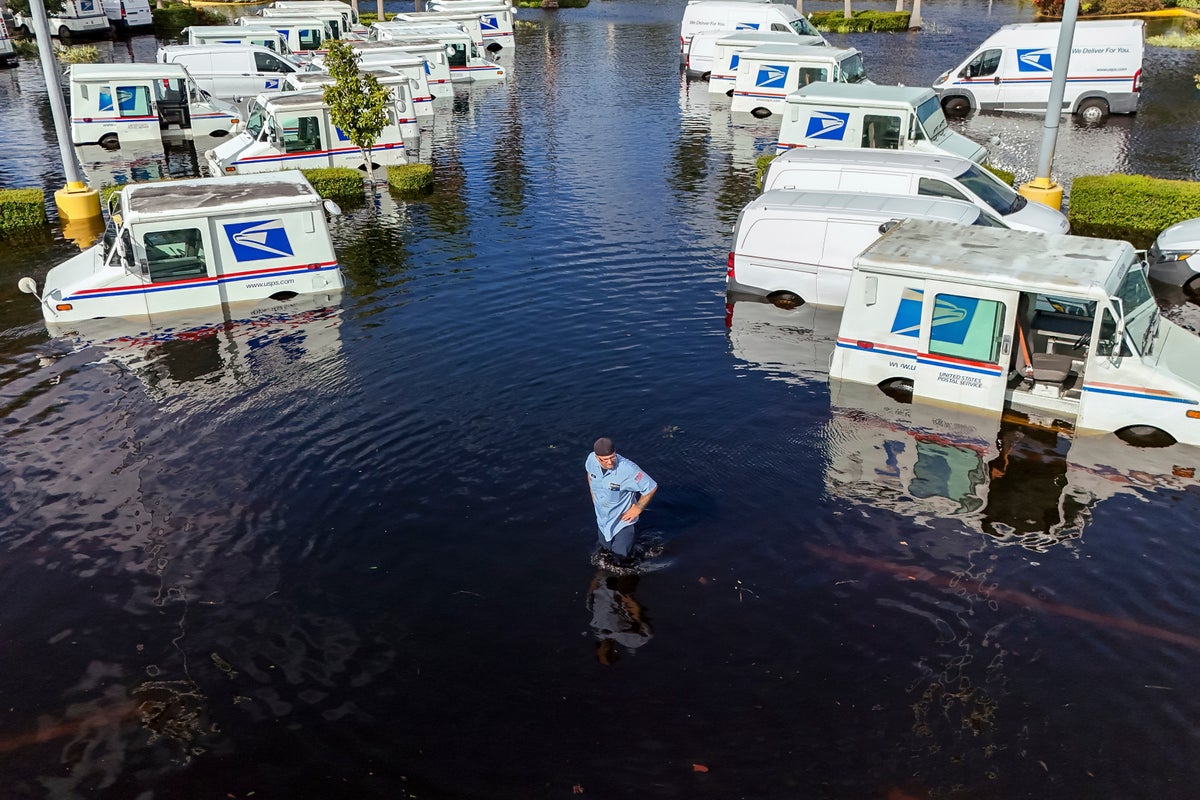
Millions of people in the southeastern U.S. still are reeling from the catastrophic damage caused by Hurricanes Helene and Milton, but scientists warn that the Atlantic hurricane season is far from over.
“As far as hurricane landfalls in the U.S., it’s been crazy busy,” said Jeff Masters, meteorologist for Yale Climate Connections. So far five hurricanes have made landfall in the U.S. — and the record is six.
Masters said it’s possible that record will be matched since tropical cyclone activity is expected to be above-average for the rest of October and November.
Hurricane season officially ends Nov. 30 and peaks from mid-August to mid-October due to warm ocean waters. Masters said the very active period will continue into November because of favorable upper level winds in the atmosphere as well as ocean temperatures remaining at record-high temperatures.
“I think probably two or three more named storms by the first week of November is a good bet with at least one of those being a hurricane,” said Masters.
“The Gulf (of Mexico) remains fairly anomalously warm even at this point in the year, so we shouldn’t relax,” said Chris Horvat, assistant professor of earth, environment and planetary science at Brown University.
Warm ocean waters at 80 degrees Fahrenheit (26.6 Celsius) or higher fuel hurricanes, but other factors needed for hurricane formation, such as favorable upper level winds, will eventually cap when these monster storms can form.
“The Caribbean is warm enough year-round to get hurricanes, but it’s the strong upper level winds that prevent it from happening in the winter,” said Masters.
Staying prepared through the latter part of hurricane season is essential. “Because of climate change making the oceans warmer, we should expect to see more high-end hurricanes and we should expect to also see them later in the season,” he said.


