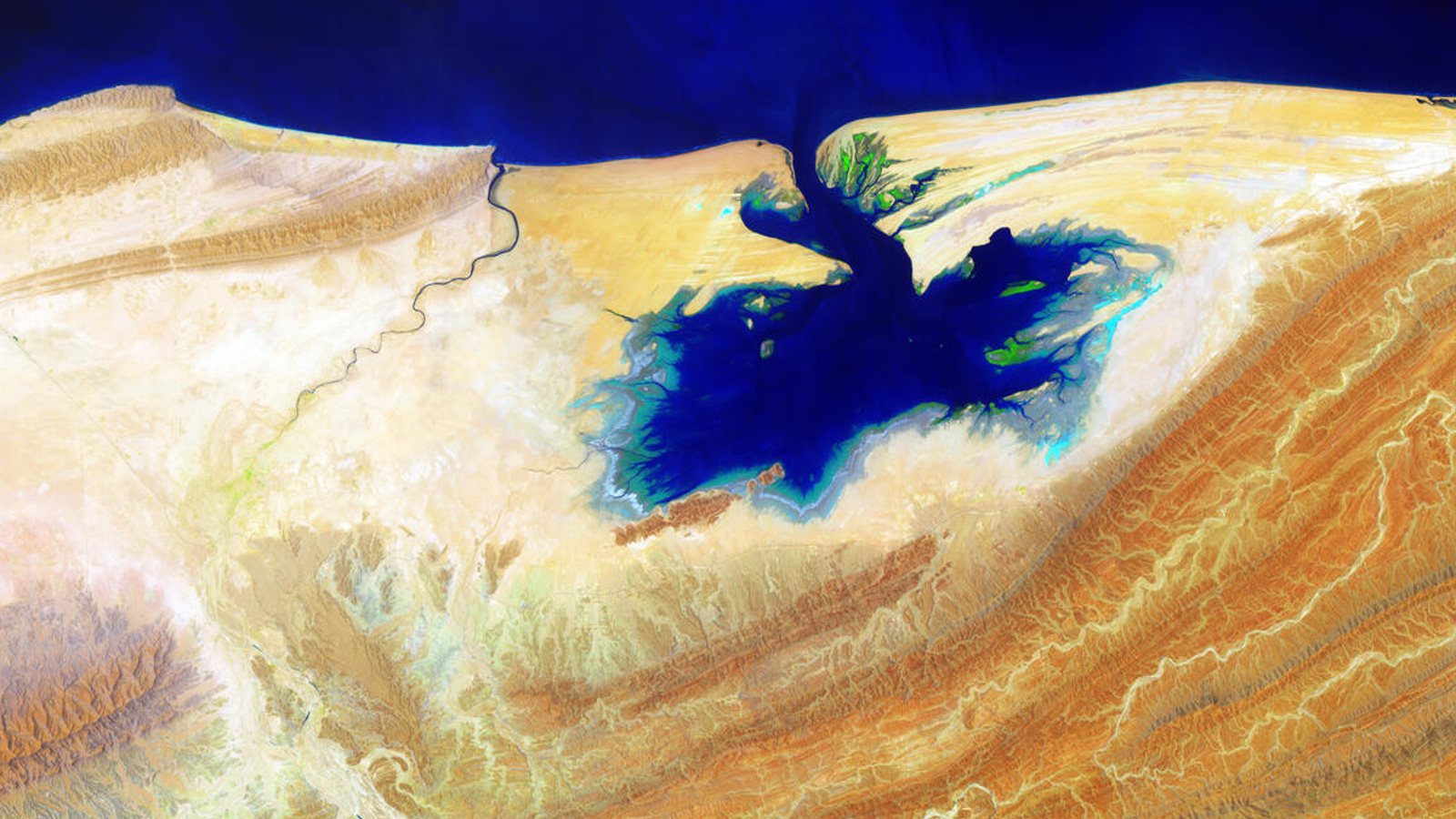
Where is it? Khor Kalmat, Pakistan [25.412836978, 64.05686092]
What's in the photo? A vibrant blue lagoon in a harsh desert environment
Which satellite took the photo? Landsat 8
When was it taken? June 9, 2014
This striking, false-color satellite photo of Pakistan's Khor Kalmat lagoon shows how the tidal body of water helps to sustain an intricate ecosystem in the surrounding desert environment.
The saltwater lagoon, which spans around 17 miles (27 kilometers) at its widest point, is located along the Makran Coast in Pakistan's Balochistan province, around 180 miles (290 km) west of Karachi. It is cut off from the rest of the mainland by harsh desert mountains, known as the Makran Coast Ridge, which run parallel to much of the country's coast and appear dark orange in the satellite image.
Khor Kalmat is a tidal lagoon that fully forms only at high tide, when waters from the Arabian Sea run through a narrow channel carved into the coastline. At low tide, it almost completely empties, leaving behind exposed mudflats.
This aerial image has been enhanced to make the water appear darker and more vibrant, "like blue ink bleeding onto parchment," according to the U.S. Geological Survey.
Related: See all the best images of Earth from space

Large parts of the area surrounding Khor Kalmat, including the Makran Coastal Range, are arid desert land that experiences minimal rainfall. However, the lagoon's repeated influx of water helps support an intricate ecosystem despite these harsh conditions.
Supporting life
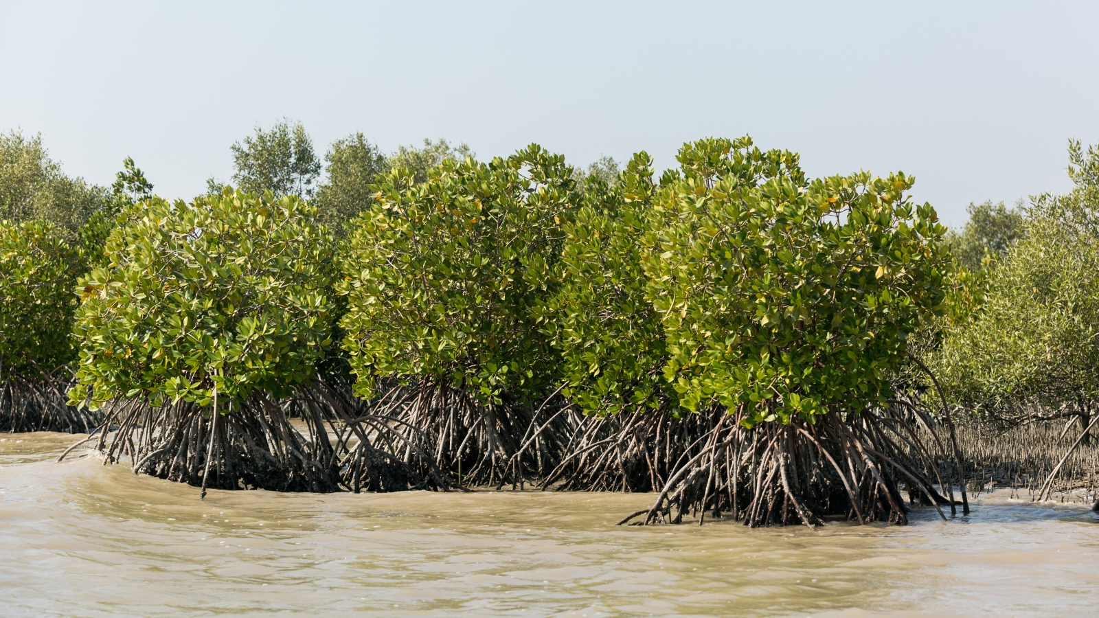
The lagoon is home to sizable mangrove forests, which are visible as bright-green spots along the water's edge in the satellite photo. These forests are an important nursery for juvenile fish, as well as other marine organisms, such as crustaceans and mollusks. They also provide timber to the few local people who live alongside the lagoon.
At low tide, the mudflats also provide a great hunting ground for wading birds to scour the exposed lagoon floor for small insects and fish buried beneath the muck. Most of these birds reside in the Buzi Makola Wildlife Sanctuary, which lies west of the lagoon in the image.
However, the lagoon has been put under increasing strain over the past few decades due to overfishing, deforestation of mangroves, and rising temperatures driven by human-caused climate change. "Both the fisheries and the mangrove resources are under grave stress due to a variety of factors which have resulted in their rapid degradation," WWF Pakistan representatives wrote in a 2005 report.
The current health of the ecosystem is currently unclear due to a lack of recent assessment. However, even if the ecosystem has managed to recover, it could soon be put back under threat by the potential construction of a proposed Pakistani naval base in the lagoon.


