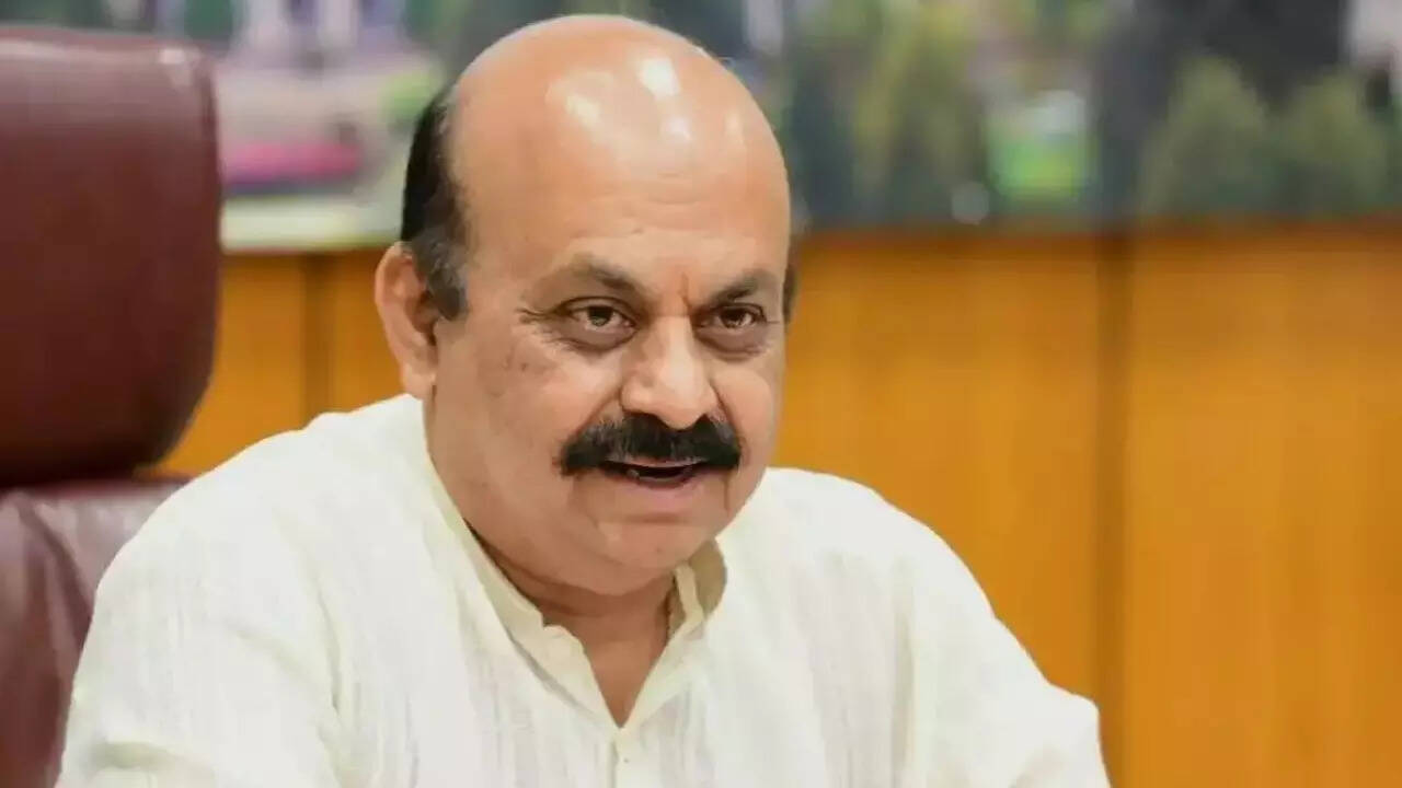
BENGALURU: The Bangalore Development Authority’s notification issued for change of land use from ‘waterbody’ to ‘residential area’ in Doddabettahalli near Yelahanka by citing a cartographic error was on Thursday night spiked by chief minister Basavaraj Bommai, following public outcry.
The CM directed BDA commissioner Rajesh Gowda to take stern action against officials responsible for issuing the notification seeking to convert the nature of a 4. 2-acre plot.
The issue had snowballed into a controversy with citizen groups crying foul over the move, which they alleged, would have ended in the disappearance of another lake in the city. It all began with a goof-up by surveying officials while preparing a Revised Master Plan (RMP) -2015, said sources.
While citizens are slamming the civic body for trying to hand over a ‘waterbody’ to a private builder to change to a residential plot even as Bengaluru is troubled by continuous rain, BDA officials claimed there was no waterbody in the said area and that it was a ‘cartographical error’. A town planner member of the BDA told TOIthat an ‘abandoned stone quarry’ was wrongly attributed as ‘waterbody’.
A BDA engineer said in 2008, 3. 2 acres of land on survey number 56 and another 4. 2 acres on survey number 1 of Doddabettahalli village in Yelahanka limits were auctioned by the revenue department. “M/s Umra Developers had emerged as the highest bidder and ownership was transferred in 2015 by the revenue department. It was confirmed to be utilised for residential purposes according to the Bengaluru Urban deputy commissioner,” the engineer said.
But the real problem began when the RMP-2015 classified the land as ‘waterbodies’ as identified by the surveyors. “A clarification was sought from the Yelahanka tahsildar in 2016. The tahsildar, after visiting the place, reported in 2018 that there was no tank in survey numbers 1 and 56 of Doddabettahalli village but there is a stone quarry. The inspection report left us in disarray about future action. During the same time, Umra Deve- lopers moved the high court stating that BDA was not giving permission for development of the land, claiming it as a ‘waterbody’ though the revenue department granted permission for use of residential purposes," the engineer said.
Based on the high court verdict and previous judgments, BDA officials published the change of landuse proposal in 2015, seeking objections from the public.
“We proposed to convert the land under section 14-A of Karnataka Town and Country Planning Act with an explanation that it was a cartographical error. The town planning committee decided to place the issue before the Bengaluru Metropolitan Planning Committee (BMPC) as per the HC judgment,” the BDA engi- neer added.
The BMPC also gave a green signal for conversion of land. “By then the draft the RMP-2031 had also earmarked the same land for residential purposes and the conversion proposal was set aside. It was conveyed to the applicant too. They sold the land to another developer later,” the official said.
But the government withdrew its provisional approval for RMP-2031, forcing the developer to freshly apply for the land-use change. “As per their request, we have published the notice under cartographic error again, seeking objections. Since the RMP surveyors wrongly considered quarry as a waterbody, all these confusions cropped up,” said Dhananjaya Reddy, Town Planning Member of the BDA.


