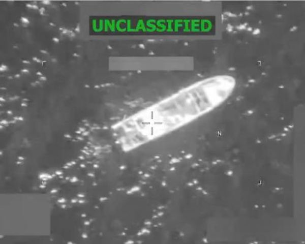
China has recently published baselines for Scarborough Shoal in the South China Sea, a move that is expected to escalate tensions over conflicting territorial claims in the region. The Foreign Ministry of China released geographic coordinates for the baselines around the shoal, which play a crucial role in determining a nation's territorial waters and exclusive economic zone.
Scarborough Shoal, located west of the main Philippine island of Luzon, is claimed by both China and the Philippines. China took control of the shoal in 2012 and has since restricted access to Filipino fishermen. Despite a 2016 ruling by an international arbitration court invalidating most of China's claims in the South China Sea, Beijing has refused to comply with the decision.
Incidents of ship collisions and confrontations between Chinese and Philippine vessels have been on the rise, with the Chinese coast guard resorting to using water cannons against Philippine ships. China's recent action of delineating the baselines comes shortly after Philippine President Ferdinand Marcos Jr. signed two laws outlining the country's claims in the disputed waters.


In a statement, the Chinese Foreign Ministry justified the move as being in line with a United Nations agreement and Chinese law, aimed at enhancing marine management practices. However, China strongly opposed one of the laws signed by President Marcos, the Philippine Maritime Zones Act, citing violations of its sovereignty in the South China Sea.
China's expansive claims in the South China Sea have led to ongoing disputes with various Southeast Asian nations, including the Philippines and Vietnam. The region holds strategic importance as a key shipping route in Asia, further intensifying the significance of the territorial conflicts.


