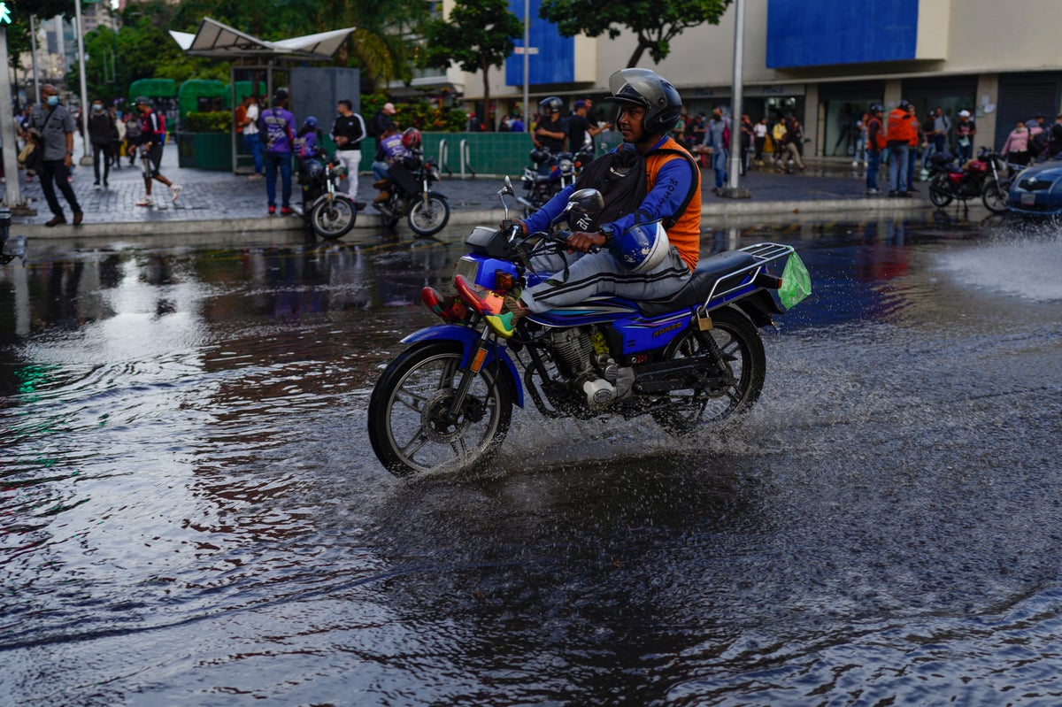
A storm that has hurled rain on the southern Caribbean and the northern shoulder of South America was expected to hit Central America as a tropical storm over the weekend and eventually develop into a hurricane over the Pacific, forecasters said Thursday.
The fast-moving disturbance known merely as “Potential Tropical Cyclone Two” has been drenching parts of the Caribbean region since Monday without ever meeting the criteria for a named tropical storm.
As of Thursday morning, it was blowing past the northernmost part of Colombia and was centered about 710 miles (1,140 kilometers) east of Bluefields on Nicaragua's Atlantic coast, according to the U.S. National Hurricane Center.
It was moving west at 20 mph (31 kph) and was projected to hit the Nicaragua-Costa Rica area as a tropical storm by late Friday night.
The storm had maximum sustained winds of 40 mph (65 kph) — right at the edge of tropical storm force, through with ragged wind circulation, apparently due to its rapid advance westward. The Hurricane Center said that pace should be slowing.
The storm was expected to drop 3 to 5 inches (75 to 125 millimeters) of rain on parts of northern Colombia, then 4 to 8 inches (125 to 250 millimeters) on Nicaragua and Costa Rica, posing the threat of flash flooding.
Venezuela and several Caribbean islands closed schools as the storm approached over recent days.


