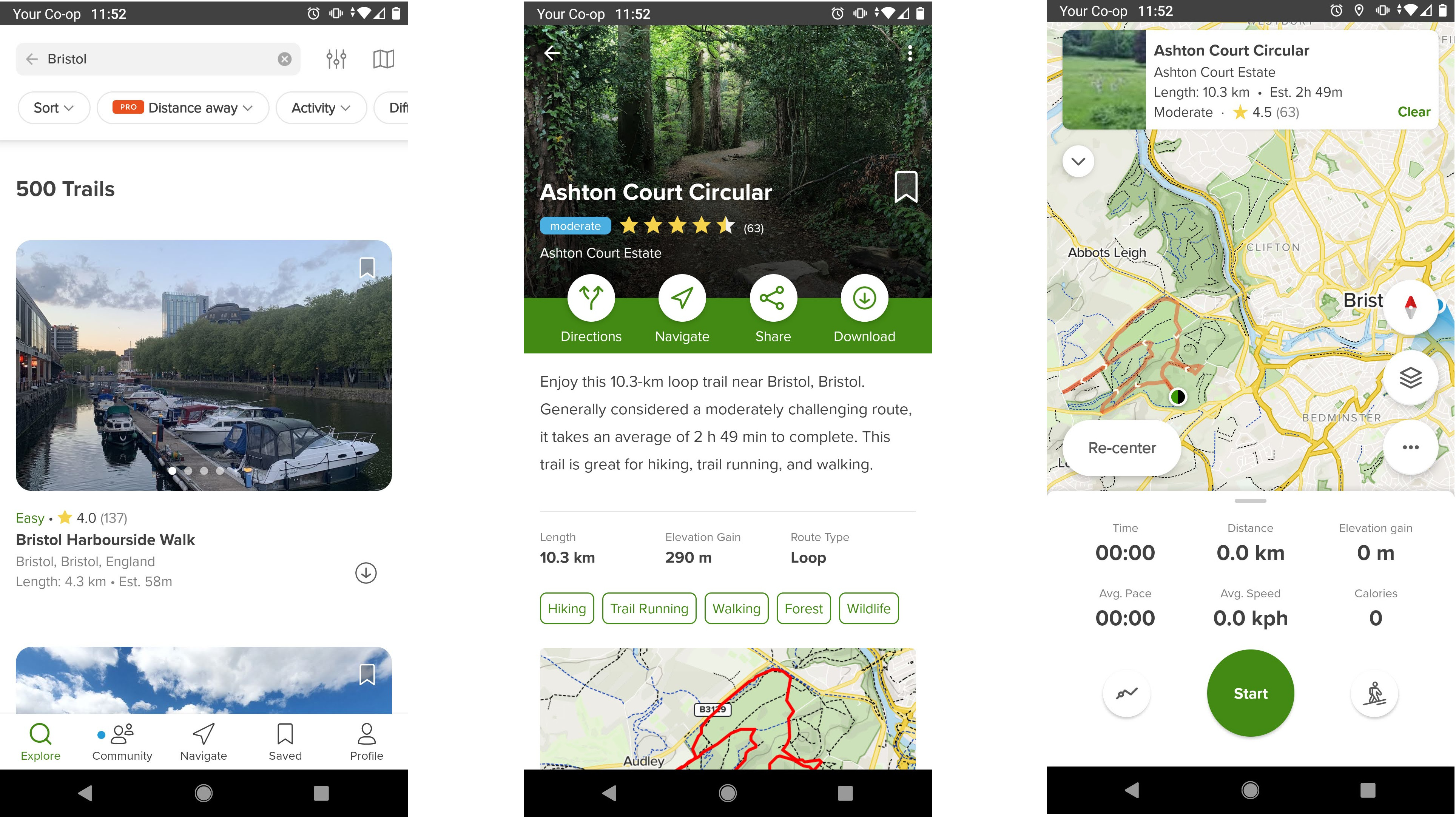
It's never been easier to find new routes for hiking, trail running and cycling thanks to online platforms and navigation apps that you can access on your phone or GPS watch. The accuracy of online hiking reviews hasn't always been the most reliable, however – we frequently report on hikers requiring mountain rescue after following non-existent trails they've found on platforms like Google Maps. To tackle that issue, AllTrails has launched a new program partnering with land management officials.
The Public Lands Program, which was announced earlier this month, allows land management agencies such as park officials to share time-sensitive updates with the more than 60 million trail-users who access AllTrails' platform. Land managers from agencies like the National Parks Service can now view trail-use insights, edit trail information and send real-time alerts.
"Public and private sector partnerships are key to unlocking a more sustainable outdoor experience," says Pitt Grewe, Head of Public Lands Partnerships at AllTrails.
"For the first time, we're combining land-manager expertise and trail data at scale to improve outdoor experiences and inform trail-goers. The AllTrails Public Lands Program will support the public lands community in the critical work of educating visitors and protecting our wild spaces."

Land managers can now prepare trail users for their adventure by editing details such as route lines, starting points and parking locations. They can also send out alerts communicating real-time trail conditions and closures, rules, regulations, and route recommendations. Improved accuracy on the platform should reduce the risks of hiking and increase user enjoyment. According to a press release, land managers are already seeing "measurable benefits " in working with the Public Lands Program.
The announcement comes just two months after we reported that AllTrails launched an AI assistant to help you discover new places, and even pick the right shoes for hiking and running.


