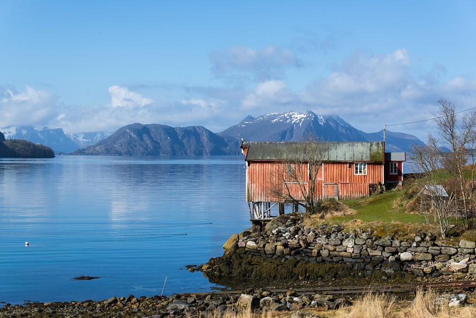
Norway’s Helgeland coast is well-known within the country but much less so among international travelers. That’s a crying shame, because it offers everything that’s great about Norway—beautiful coastline, mountainous islands, historic villages and towns—but with far less crowds.
An alternative route north
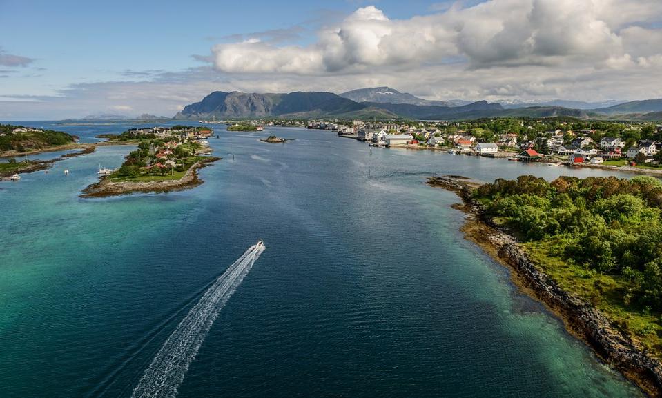
Most tourists heading north towards Lofoten and Tromsø choose to take time-saving flights. Those who do drive tend to take the E6 highway, Norway’s main north-south artery. While it’s direct, the journey is somewhat dull and it still takes nine hours from Trondheim to Bodø. Savvy travelers extend their trip and take the Fv17 instead, known as Kystriksveien and the Helgelandskysten scenic route.
Nature rewards slow travelers with sights including the Seven Sisters mountain ridge, the Svartisen glacier and the world’s largest tidal maelstrom at Saltstraumen.
At 269 miles long, Helgelandskysten is the longest of Norway’s 18 designated national scenic routes. Allow much more time than your initial plans might suggest to complete the route from Holm to Bodø. There are six ferry crossings, countless picturesque photo stops and many optional side trips well worth taking.
The ferry crossings—ranging from just 15 minutes up to an hour—provide a natural break from driving and force you to slow down and enjoy your surroundings. While there’s no right way to complete the route, allow at least a couple days to fully appreciate what this stretch of the Norwegian coastline has to offer.
The Seven Sisters
Perhaps the most famous landmark along the Helgeland coast is the mountain ridge known as the Seven Sisters on Alsta island. Created by glaciers in the last Ice Age, the chain of peaks along a busy shipping channel have long been an important landmark for fishermen and tradespeople. Today the mountains are a popular hiking destination.
The island’s biggest town Sandnessjøen is a good place to bed down for the night if you’ll be attempting a hike. Just south of the southernmost peak lies historic Alstahaug, home to a 12th century stone church and the Petter Dass Museum, which celebrates Helgeland’s most accomplished poet.
Breaks along the coastal route
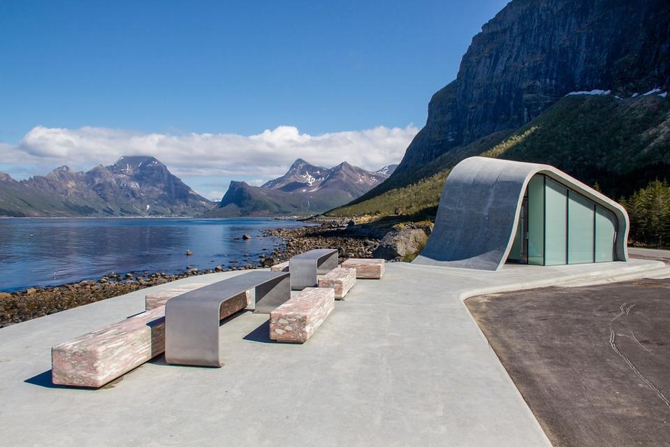
In addition to the ferry crossings, the route’s national scenic route status means several rest areas have been built, many with fantastic views and interesting architecture.
The rest area at Storvika provides restrooms and service facilities for camper vans, but it’s the stone bridge most travelers stop for. Step over it and you’ll be greeted with an idyllic mile-long sandy beach.
Ureddplassen is the ideal spot for a picnic. The stone terrace is sunken down from the road keeping things quiet for you to enjoy the view of the mountains and open sea. The wave-shaped restroom block blends perfectly with the surroundings, while a small memorial is a poignant reminder of the many lives lost in this part of the world during World War II.
Speaking of the war, occupying German forces established Grønsvik Fort in 1942. Today, the fort’s remains and modern museum provide an educational rest stop approximately half-way along the Helgeland coastal route.
There are many more rest stops along the route, all clearly signposted. Travelers looking to truly immerse themselves in the coastal culture of Northern Norway should consider a couple of side trips, notably to the Vega archipelago at the southern end of the route.
The cultural heritage of Vega
There are traces of human settlement on the Vega archipelago dating back to the Stone Age. Despite an inhospitable environment, fishermen and hunters have worked here for more than 10,000 years thanks in large part to demand for the eggs and down of the eider duck. The archipelago became a UNESCO World Heritage site in 2004.
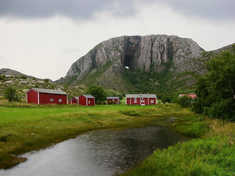
Another optional side trip is to the Torghatten mountain near Brønnøysund, also on the southern section of the route. Torghatten is known for its distinctive natural tunnel right through the mountain, which can be reached on a relatively easy hike.
Cycling and hiking
Flat, quiet roads, plenty of places to stop for breaks and countless opportunities for side trips out to islands makes the southern stretch of the route perfect cycling territory.
It’s also known among Europe’s long-distance cyclists as part of Norway’s cycle route 1 from Bergen to the North Cape, itself part of the European Atlantic coast route known as EuroVelo 1.
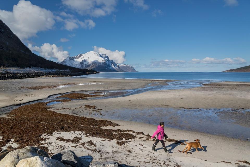
The same goes for hiking, with the relatively flat landscape around the mountains making the views from the summits all the more worthwhile. Keen hikers can challenge themselves on the 3,471-foot Heilhornet or going from peak to peak on the Seven Sisters range.