In 2018, scientists published the results of a years-long quest to tally up the weight of every single living thing on Earth. They tried to guess how much carbon sits inside our planet’s biomass — the trees, ants, whales, mushrooms, bacteria, and other creatures that call Earth home.
Their final count put Earth’s biomass at 550 billion tons of carbon. Of that half-trillion tons, plants accounted for more than 80 percent.
But that estimate is likely wrong, the authors noted. Measuring biomass at such a massive scale is inherently difficult, they write. Today, we still don’t have a handle on the exact amount of life that dots the planet.
The question may once have been purely academic, but in recent years it has grown increasingly important to gauge this statistic, particularly when it comes to plants.

For one, all of the carbon dioxide stored inside trees would otherwise build up in the atmosphere and further heat up the planet. But as forests disappear due to climate change and excessive logging, scientists need to understand exactly how much we’re losing, and how much carbon is being emitted back into the air.
Efforts to combat global warming by planting trees also need precise estimates of how much carbon we’re locking away.
“Biomass plays a critical role in our climate,” says John Armston, a remote sensing scientist at the University of Maryland who specializes in biomass measurements. “Around half the biomass is carbon, so when vegetation is destroyed due to deforestation, carbon dioxide is released into the atmosphere.”
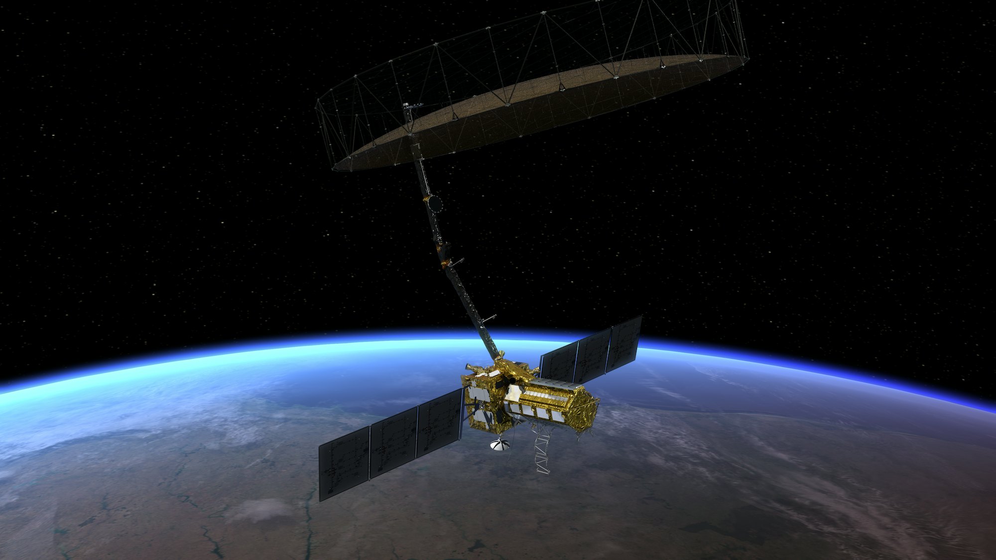
What’s new — The European Space Agency’s Biomass satellite may be up to the job. The upcoming mission, which is planned to launch in early 2024, will monitor Earth’s forests in unprecedented detail.
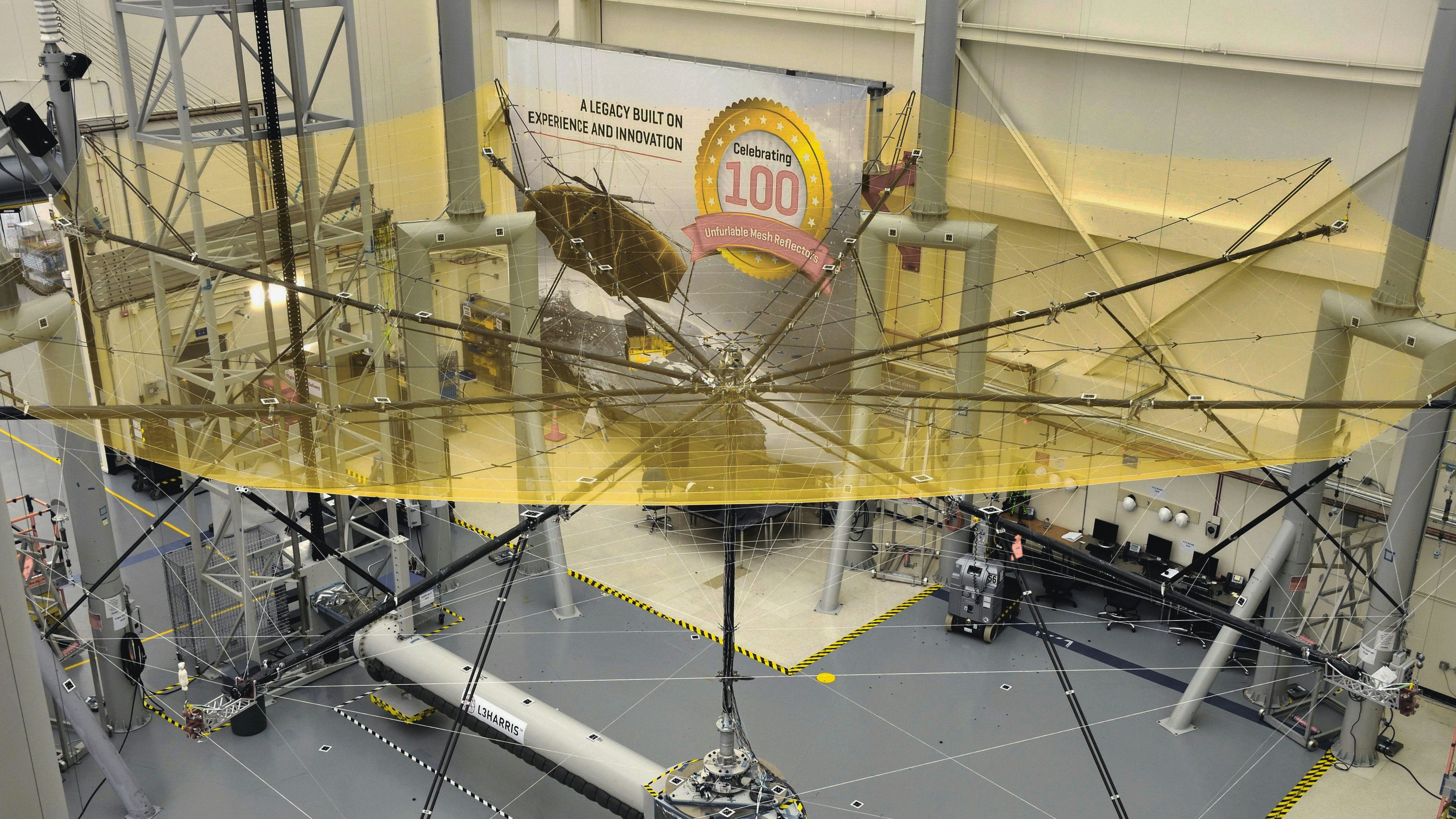
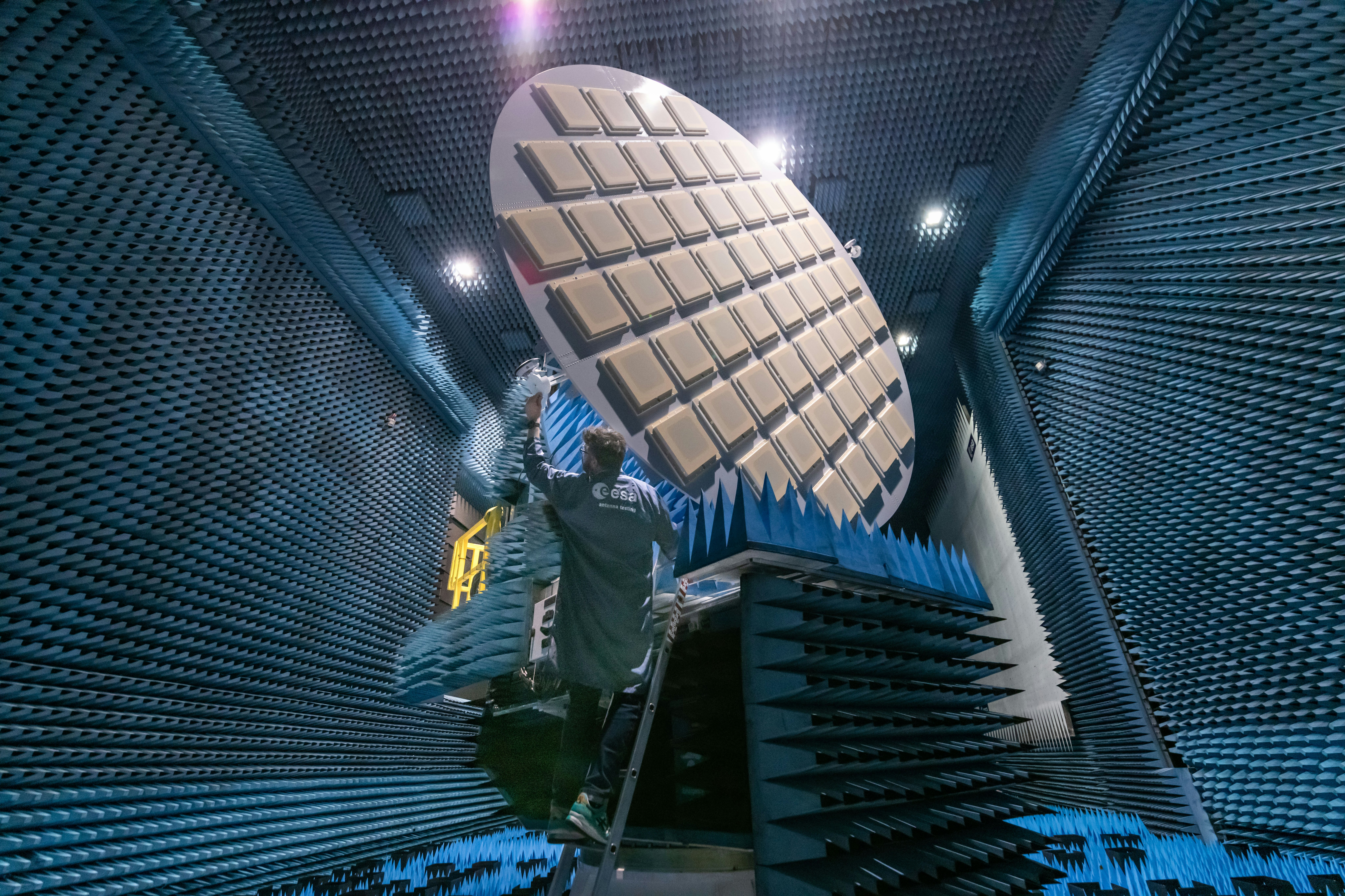
The satellite consists of a 40-foot-wide reflector suspended on a boom over its rectangular body — the whole thing looks like a ginormous umbrella shielding our planet.
This design helps Biomass see using a low-frequency form of radar called the P-band that penetrates through leaves, but bounces off of materials that are denser, like wood. With this technology, scientists can take an unprecedented glimpse at the Earth’s dwindling forests.

“When you look with an optical instrument from space on top of the tropical forest you see the leaves and nothing else,” says Michael Fehringer, program manager for the Biomass mission. But the Biomass mission “doesn’t bother about the leaves. It can penetrate to the ground, it is very sensitive to reflection from the big trunks and the stems of the trees.”
Biomass will orbit a little over 400 miles above the Earth and capture a snapshot of the entire planet over 228 days. The mission is slated to last five years, and scientists will be able to compare data on Earth’s biomass from year to year. The findings will allow for more accurate climate models, as well as a better understanding of the ways plants are interwoven into the Earth’s biosphere.
Here’s the background — The United Nations Food and Agricultural Organization estimates that around 2 million acres of forest are cut down annually, an area the size of Portugal.
But we also plant trees every year, and they suck up carbon from the atmosphere as they grow, sequestering it inside their stems and branches. It amounts to huge quantities of carbon being released into and sucked back out of the atmosphere every year, much of which isn’t able to be accurately tracked.

“There’s a lot of uncertainty around knowing that exchange,” Armston, who isn’t affiliated with the mission, says. That uncertainty will soon be much smaller, thanks to missions like Biomass, meaning a new generation of climate models will be able to understand our planet better than ever before and provide a new roadmap to our climate future.
Why it matters — The Biomass satellite’s new capabilities will allow researchers to peer through to the forest floor to get far better data compared to biomass measurements from older satellites and ground-based surveys, Fehringer says.
Not only will the satellite be able to precisely measure biomass, but it should be able to peel back the canopy to reveal the hidden structure of the sub-canopy in forests around the world. This will allow scientists to build a vertical profile of different forests in a way that’s far more comprehensive than ever before, Armston says.
“Until recently, we’ve had no missions in space that are designed to map the structure and biomass of the Earth’s forest specifically,” he says.

What’s next — Biomass will join another forest-watching satellite known as the Global Ecosystem Dynamics Investigation (GEDI), launched in 2018, which uses Lidar to map tree canopy height around the world. GEDI offers finer detail, but can’t make the comprehensive measurements that Biomass will be able to, Armston says.
And a third satellite, the NASA-ISRO Synthetic Aperture Radar (NISAR), will do much the same thing as Biomass, but for low-biomass forests, when it launches sometime in the next few years.
Together, the triad will watch over the Earth’s plants like never before, revealing new details about the species that together carry four-fifths of Earth’s living carbon.
Editor's note: On August 31, 2022, this post was updated to fix a grammatical error.


